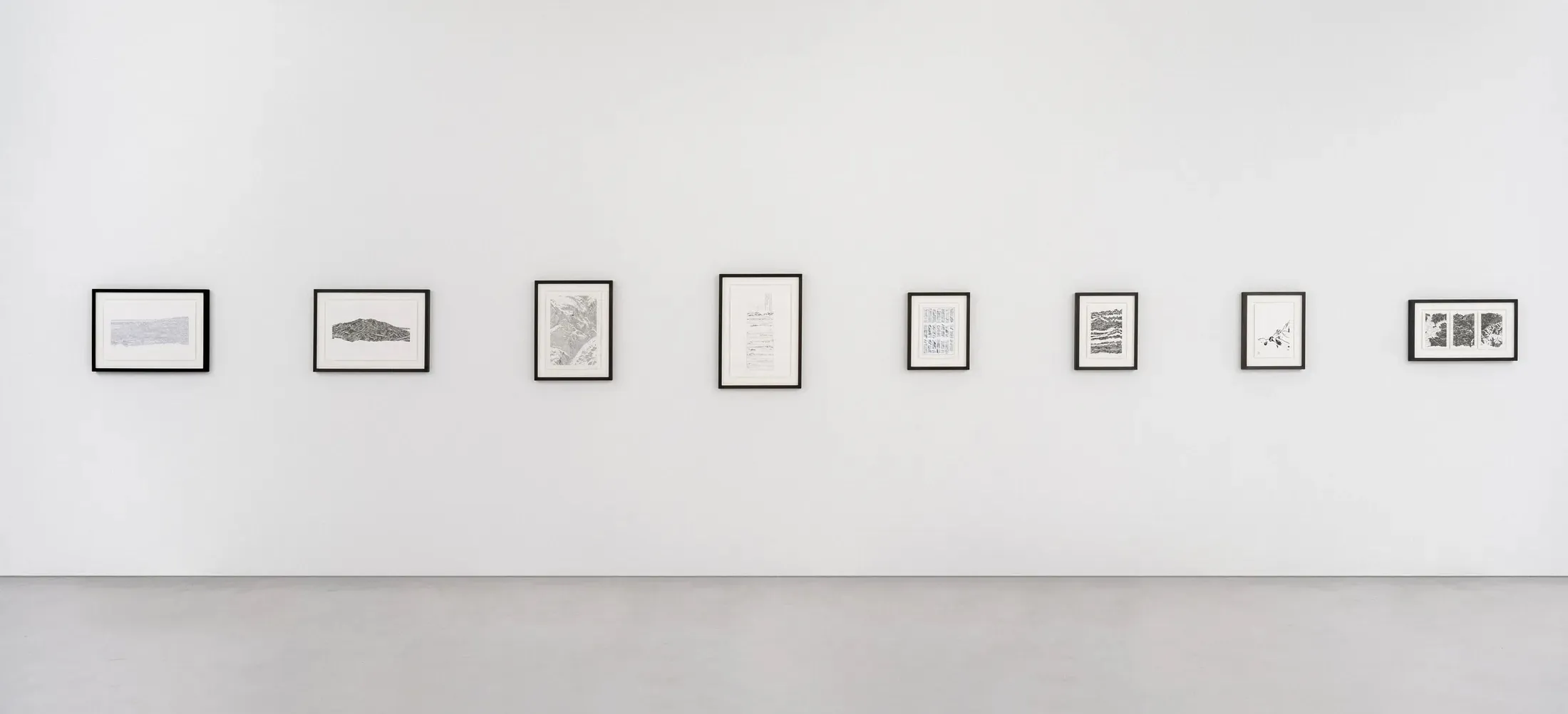
Exhibitions
2024-02, Ridge Regression, Online exhibition
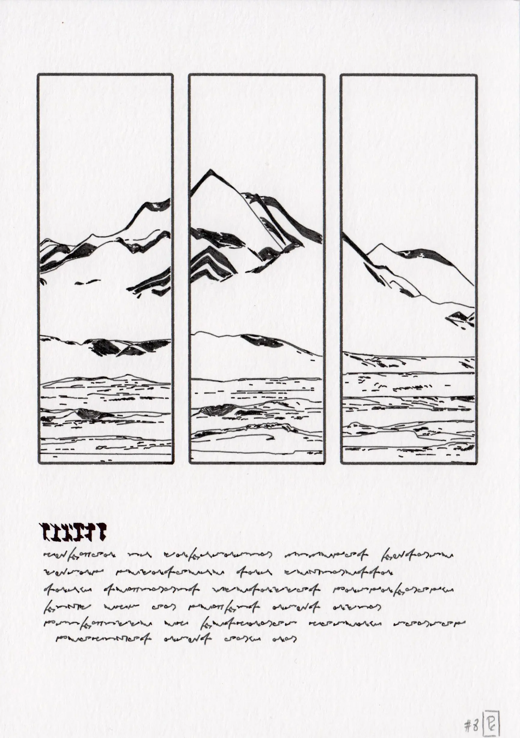
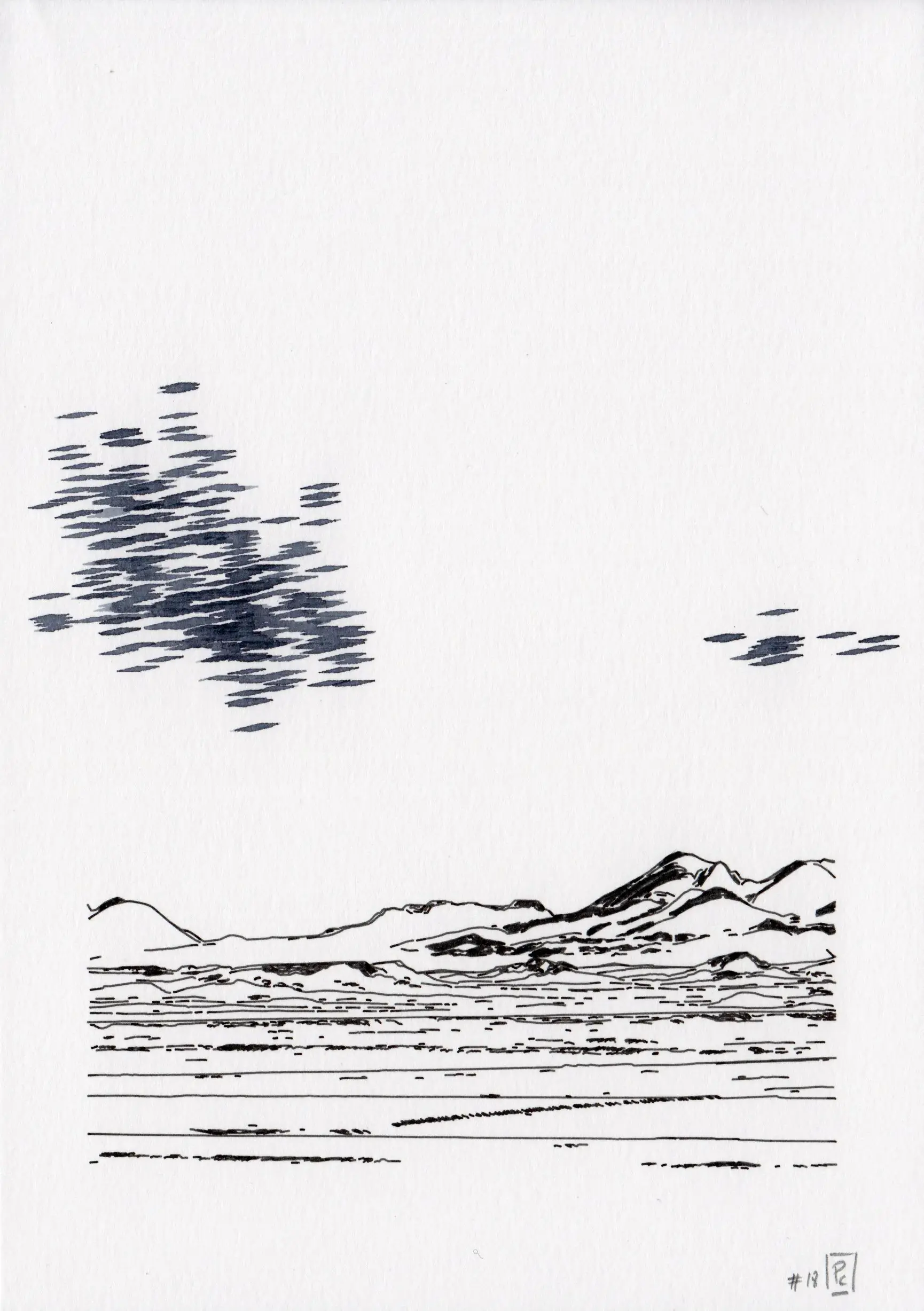
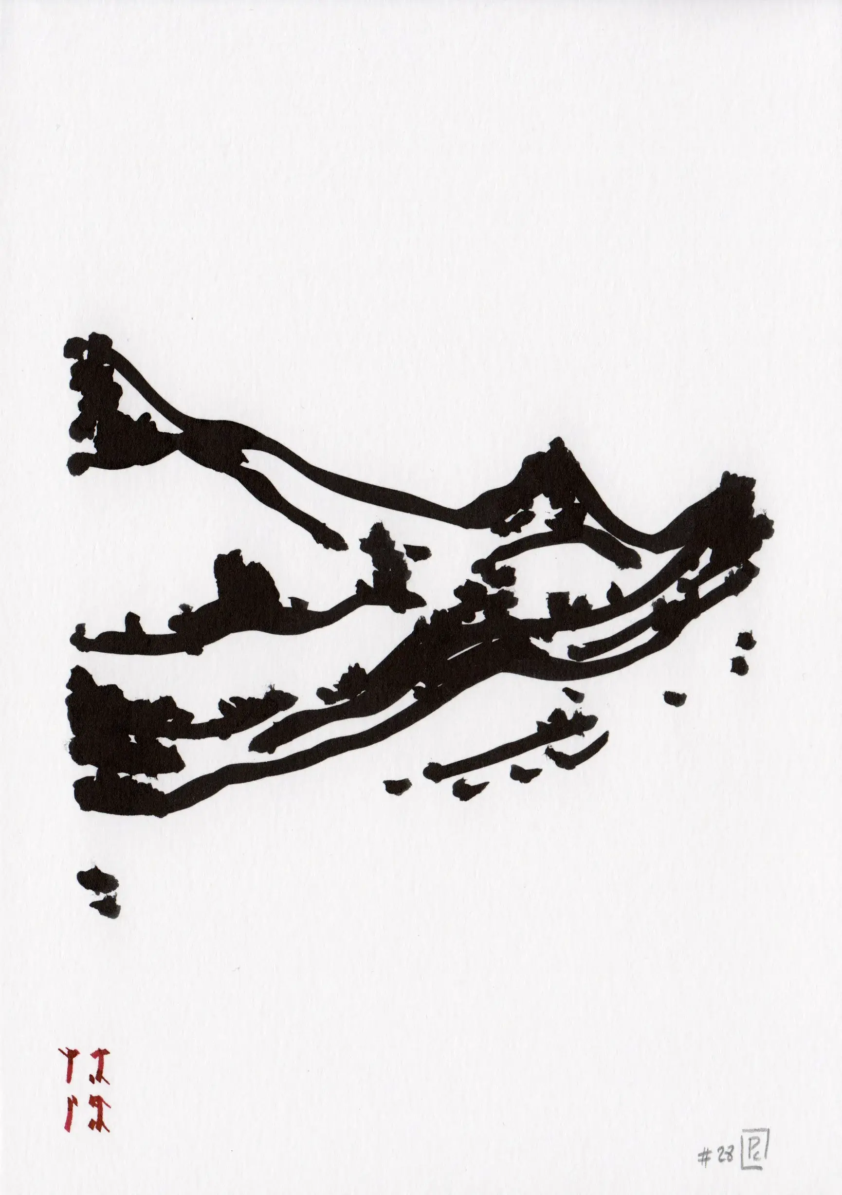
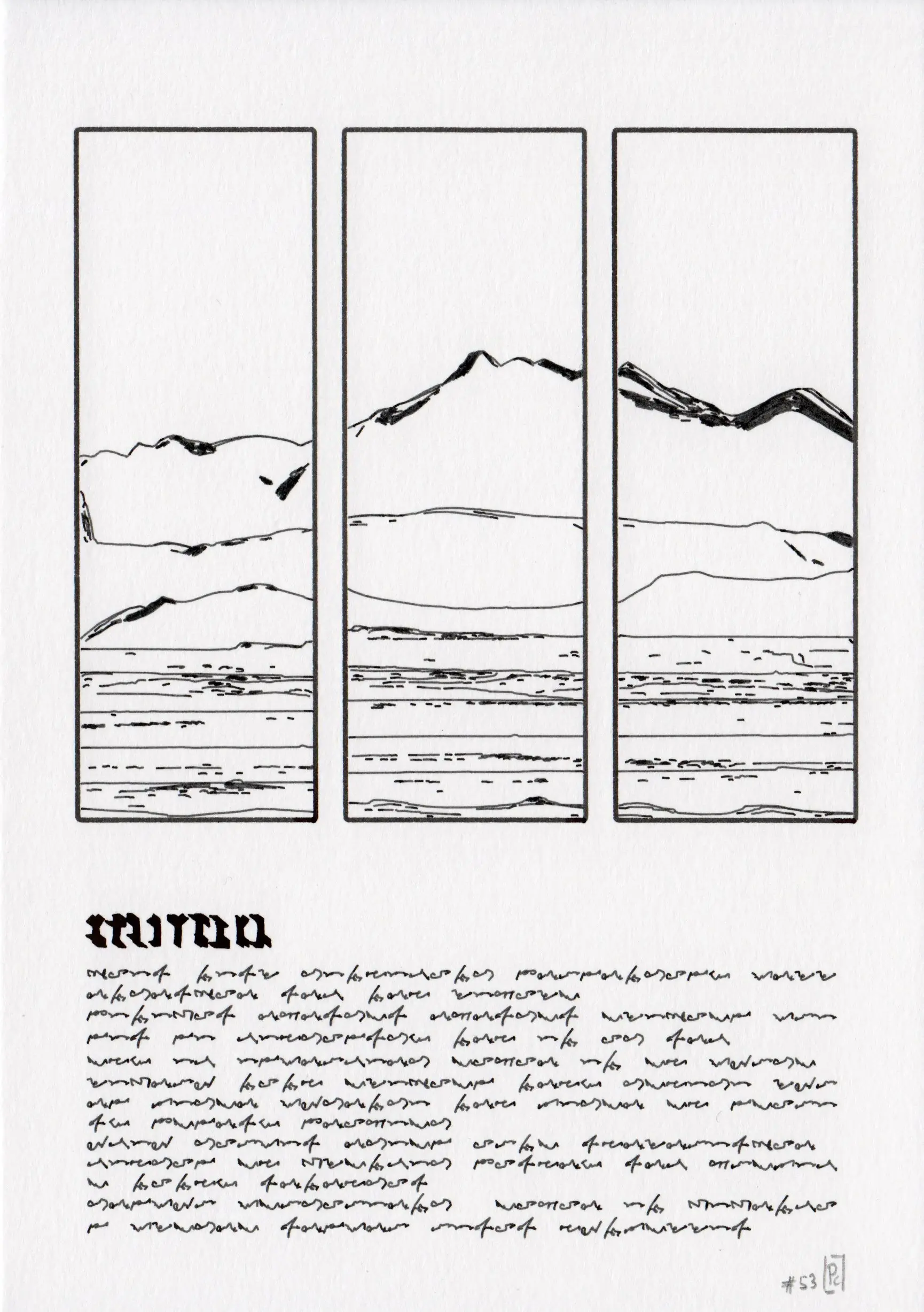
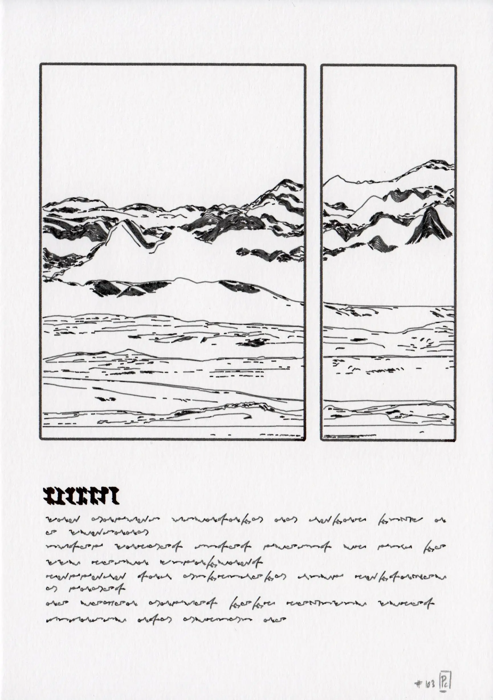
This was my first attempt at a relatively long series of code generated works (long-form), built on my previous works on data-based landscape. By focusing on an evolutionary process applied to geology, it generates a variety of landscape elements that are then selected and recombined to create new landforms. This work is documented in a more in-depth article, along with the full 128 iterations.
These series was developed and curated in collaboration with the Heft gallery and released as NFT on the verse platform.
- 128 digital and physical works
- digital, computed and rendered with R, bitmap, scanned from the paper works. Published as NFTs on the verse platform (link).
- ink on paper, plotted with Axidraw V3/A3 on 220 g/m2 paper (148x210 mm, A5) with various pens.
⁂
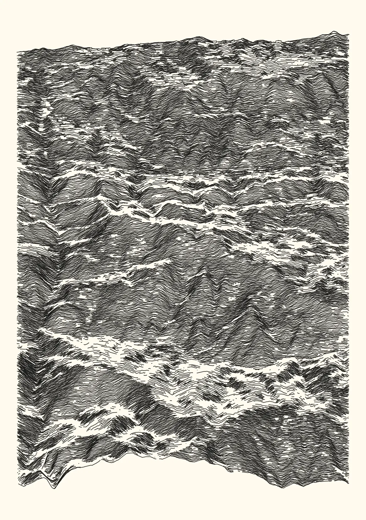
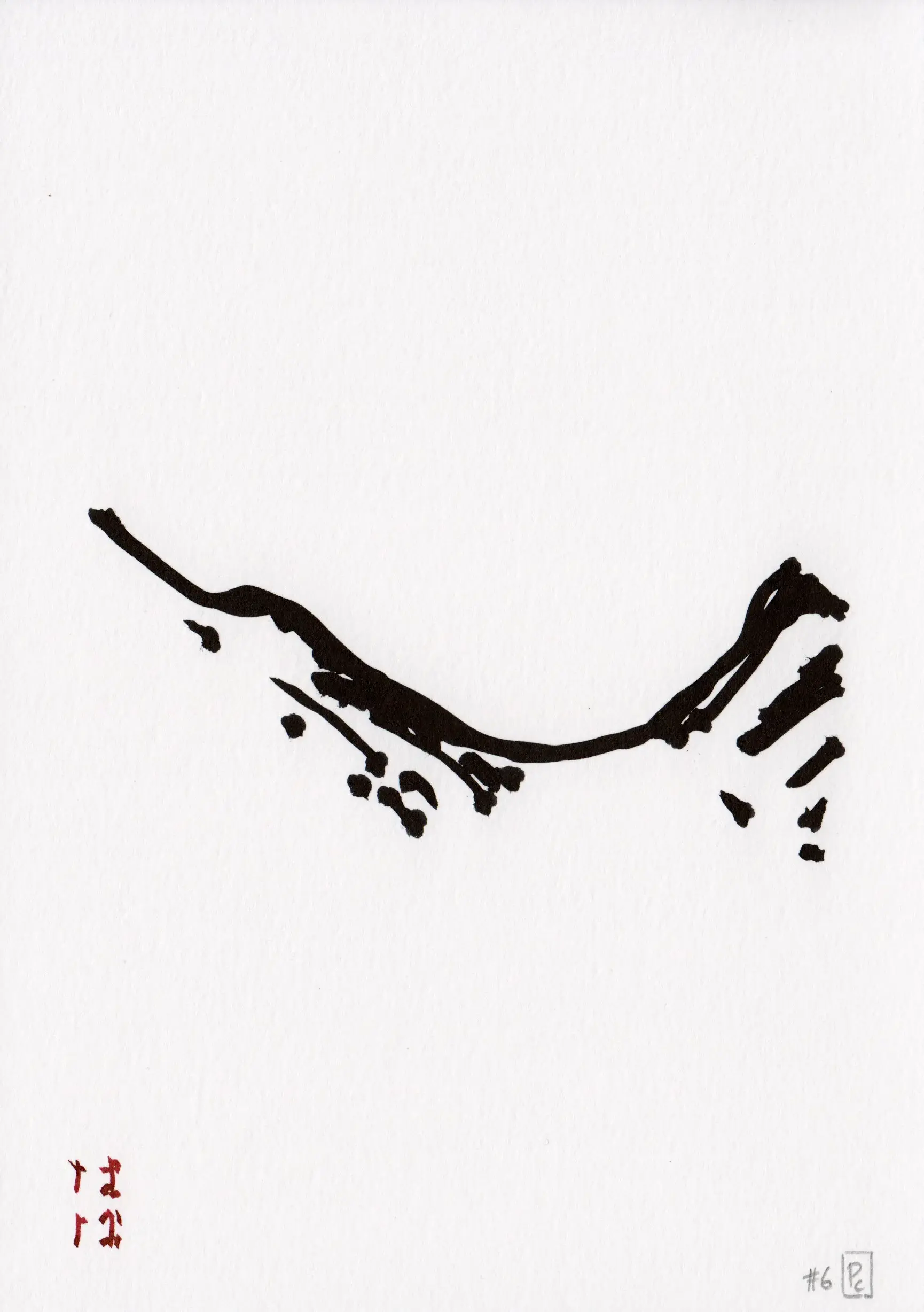
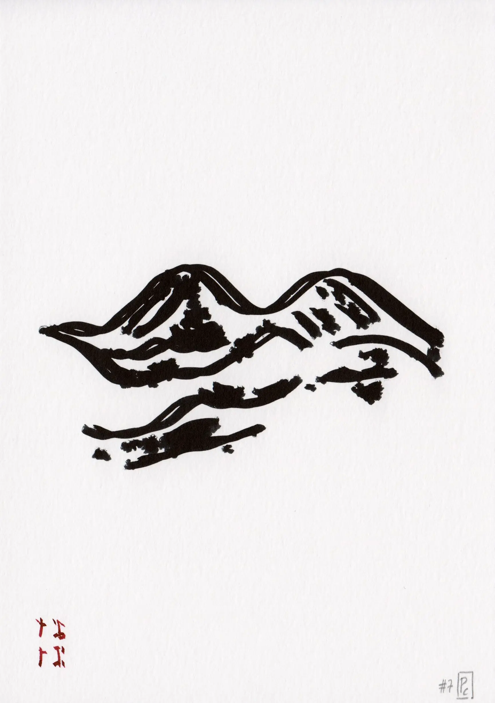
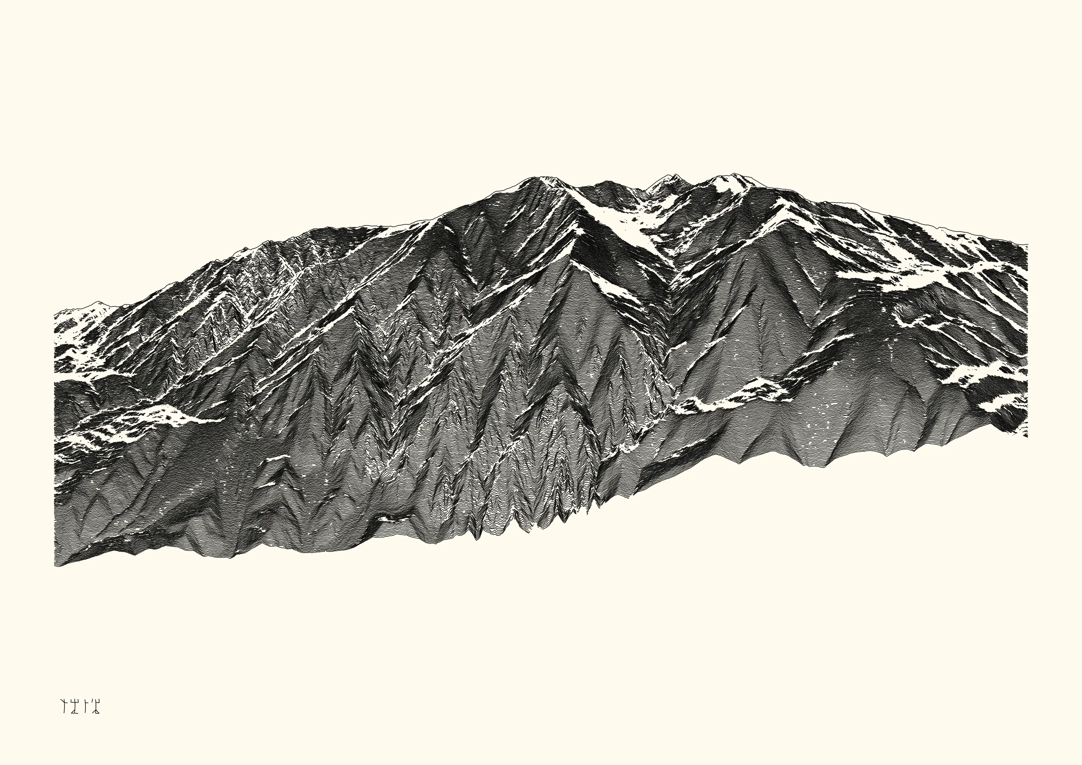
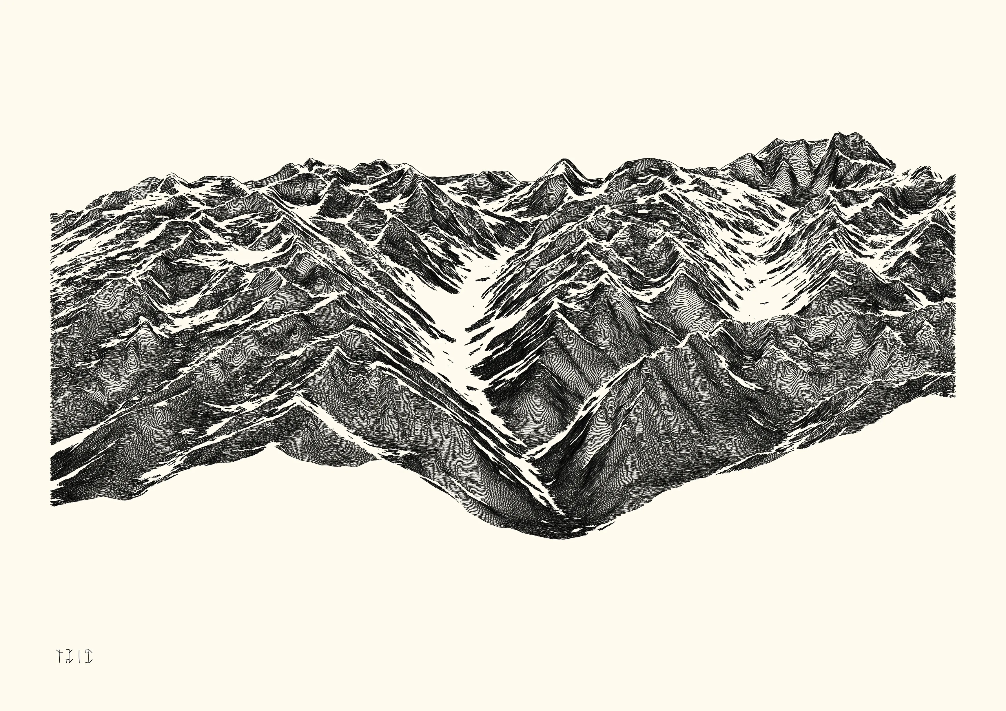
2023-01, Dispyr, Collective exhibition
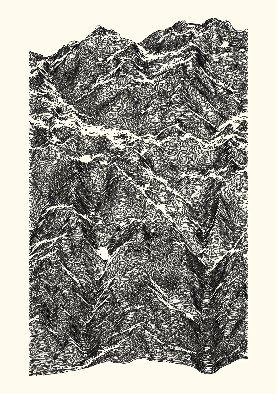
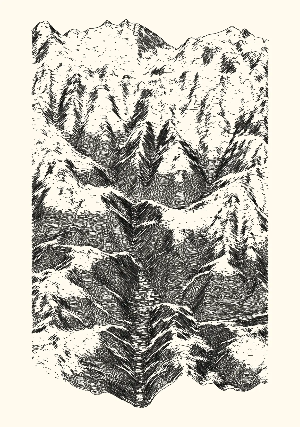
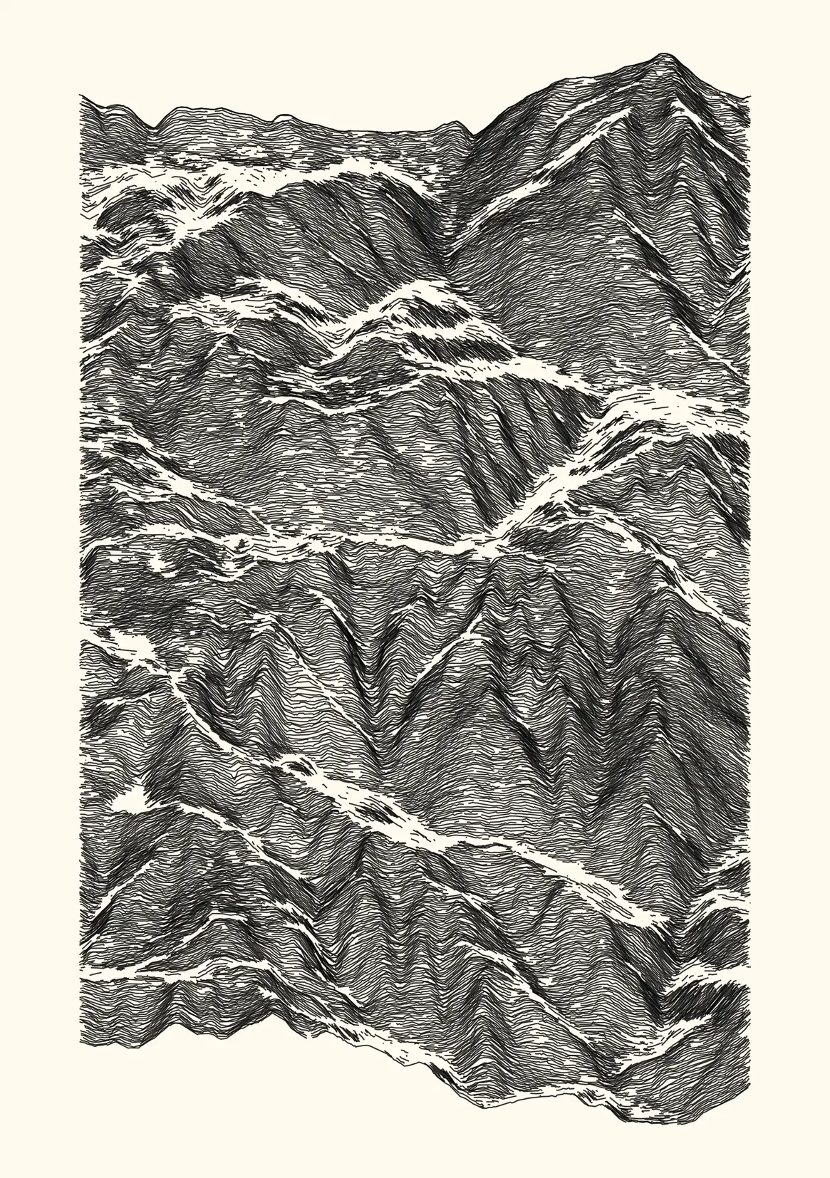
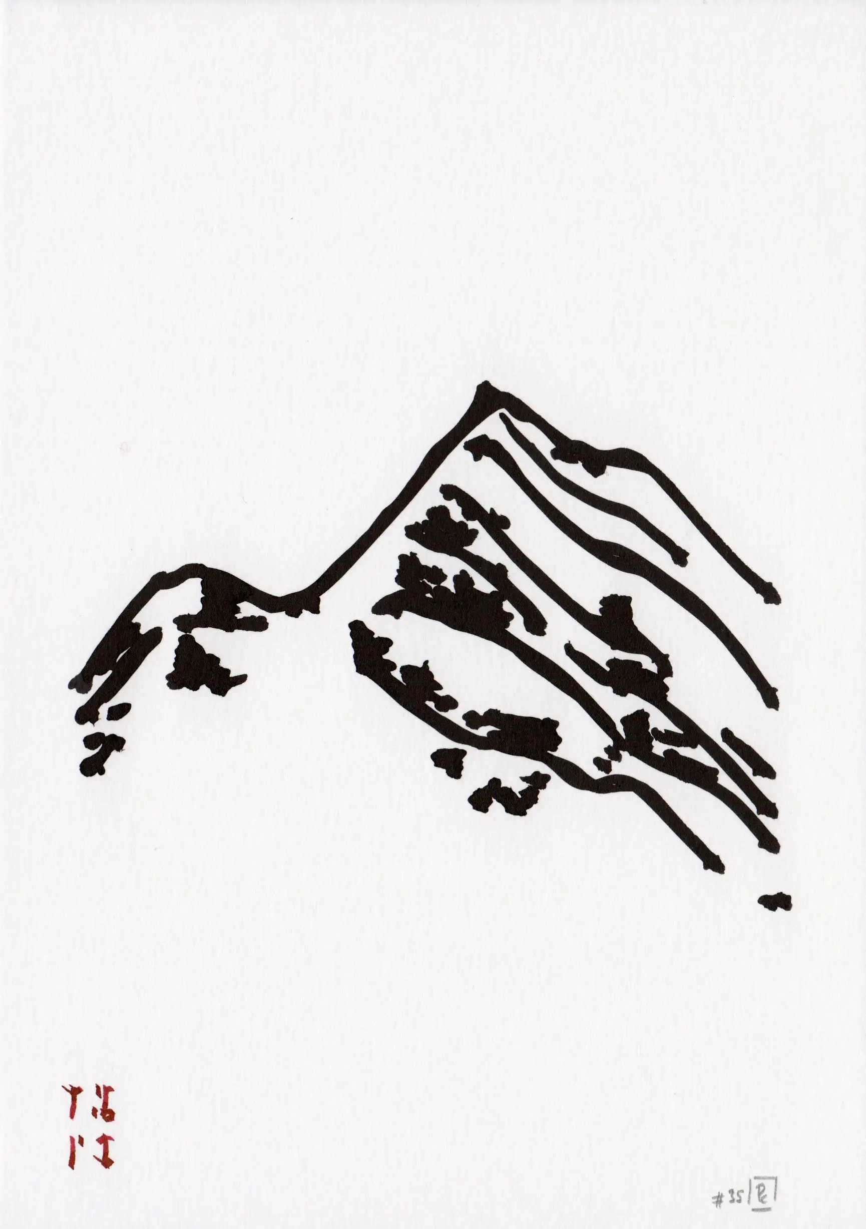
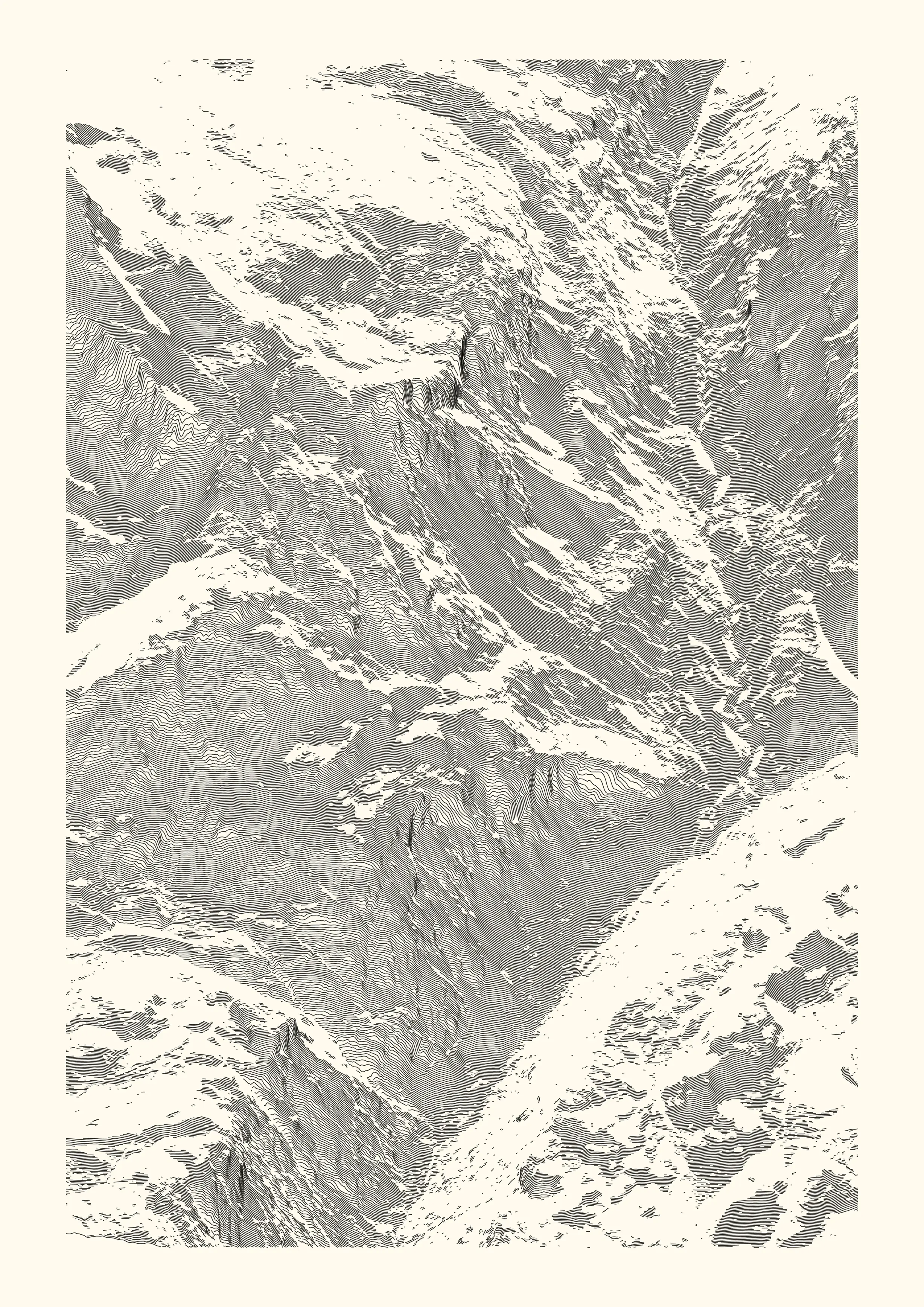
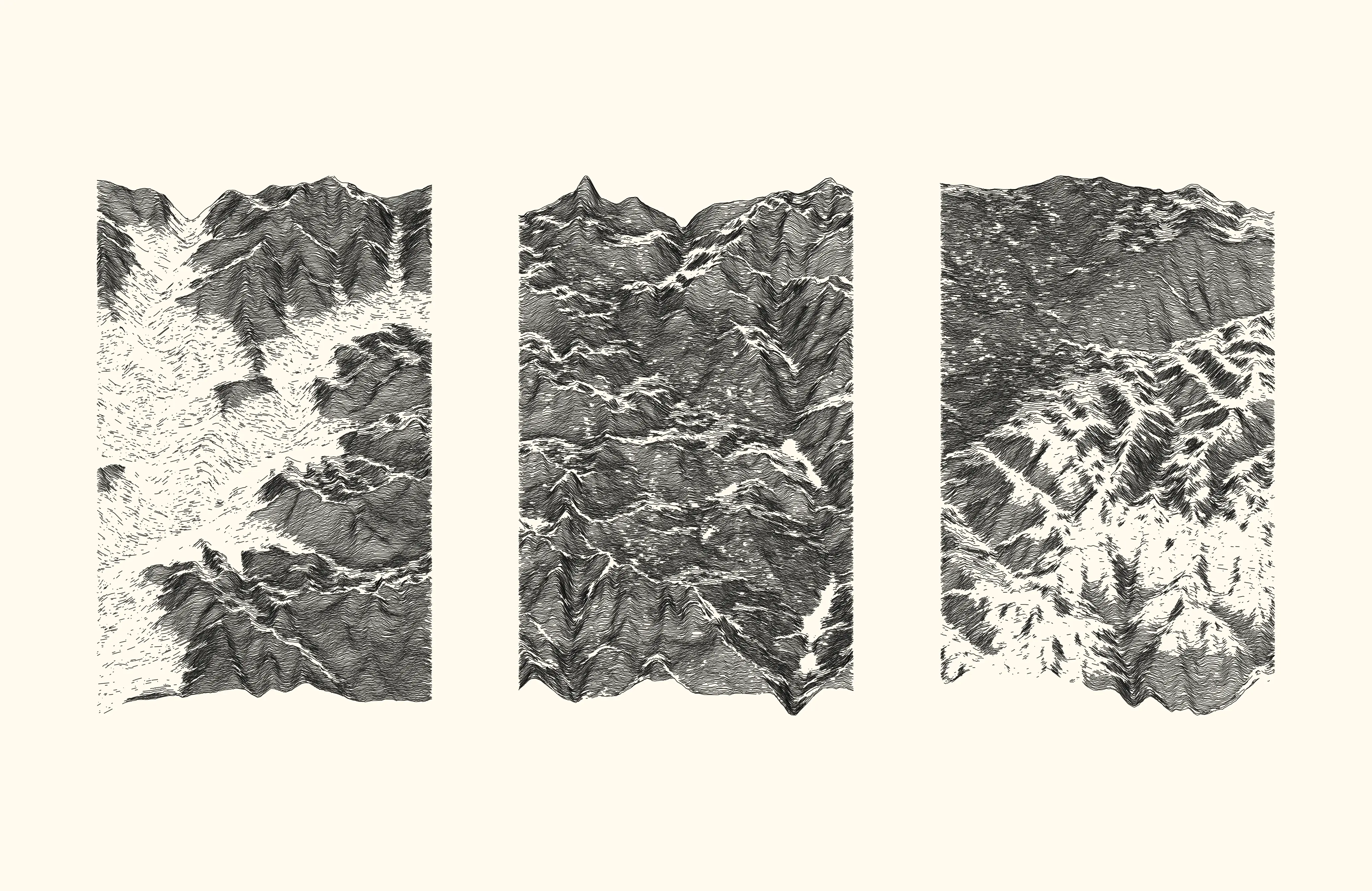
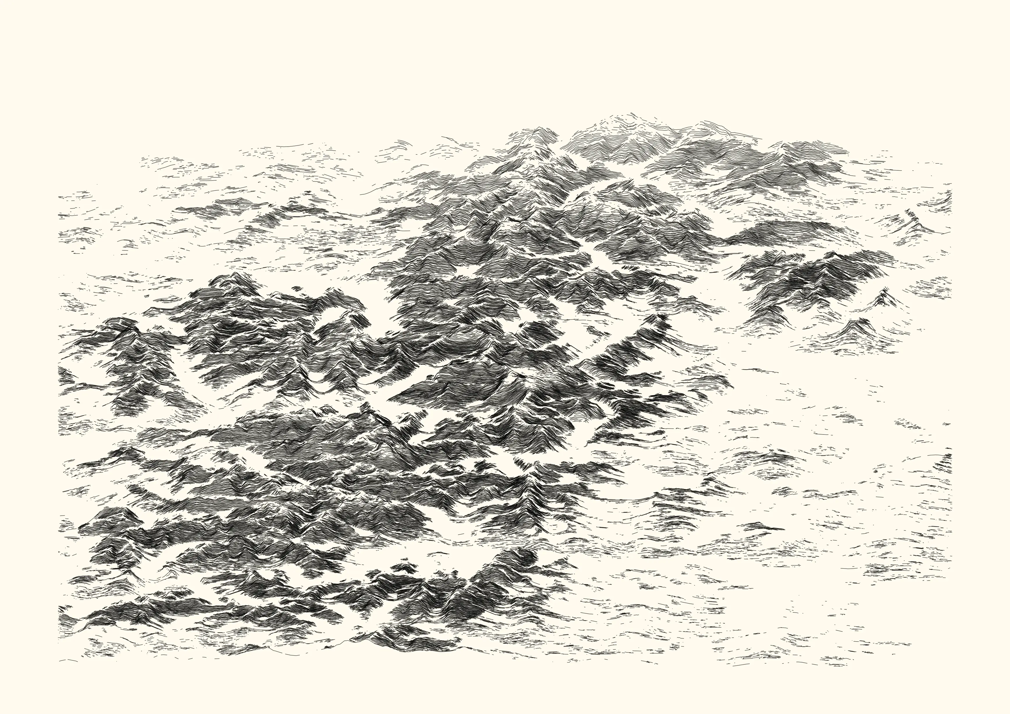
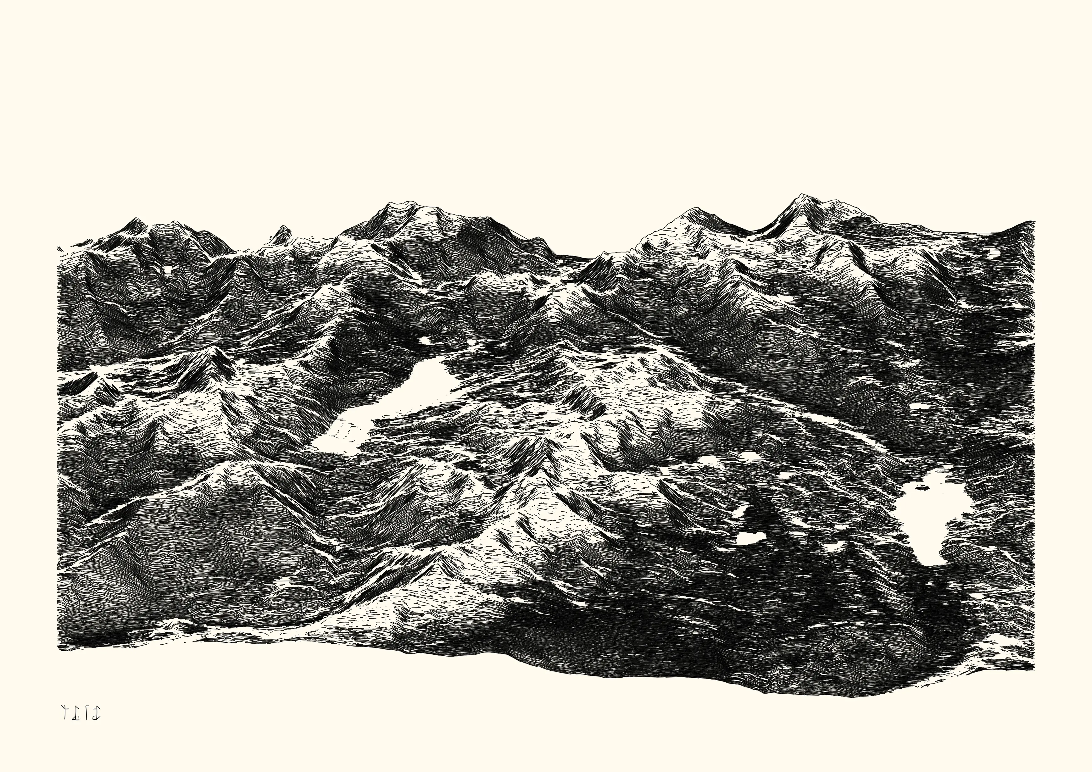
In this collection of eight landscape representations, i used real elevation data produced by various public institutes to create digital representations of the Pyrénées mountain range. I selected pieces moving from realism to abstraction while staying in the landscape figurative style, a way to acknowledge mountains as scientific and mystic places.
Theses works were selected and presented during a collective exhibition (Odysseys), curated by the verse platform, in January 2023, at Cromwell Place, London.
- 8 digital and physical works
- digital, lossless bitmap, computed and rendered with R. Published as NFTs on the verse platform (link.
- ink on paper, plotted with Axidraw V3/A3 on 220 g/m2 paper (various format) with Rotring Isograph pens, Pentel FL2B brush pen, Pilot Parallel pen.
⁂
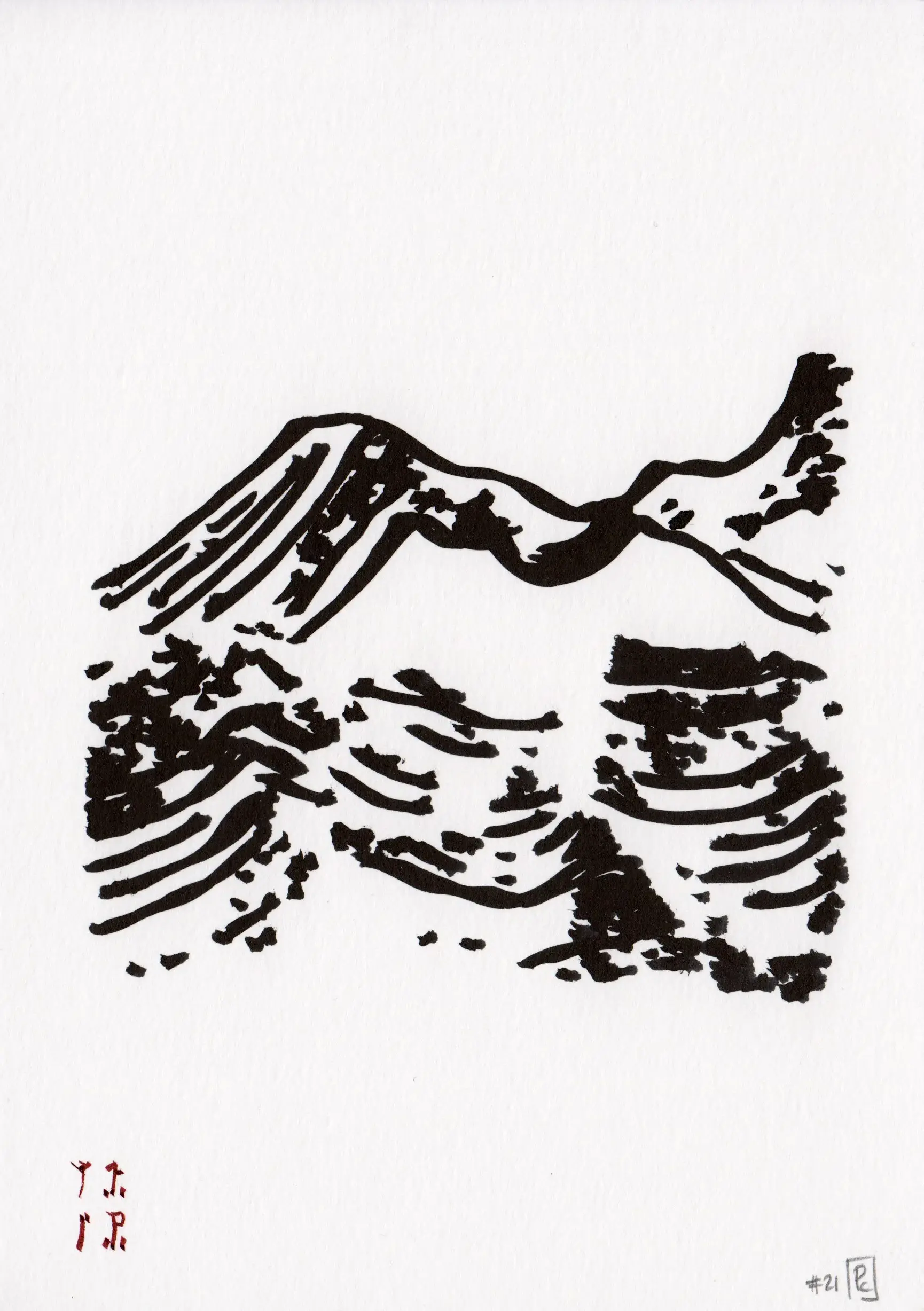
2022-09, Conflated Conflent, Collective exhibition
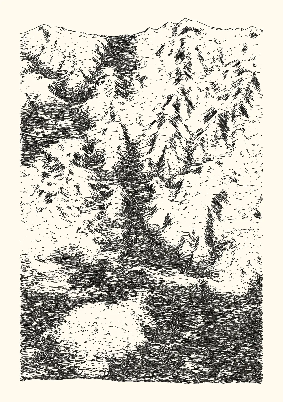
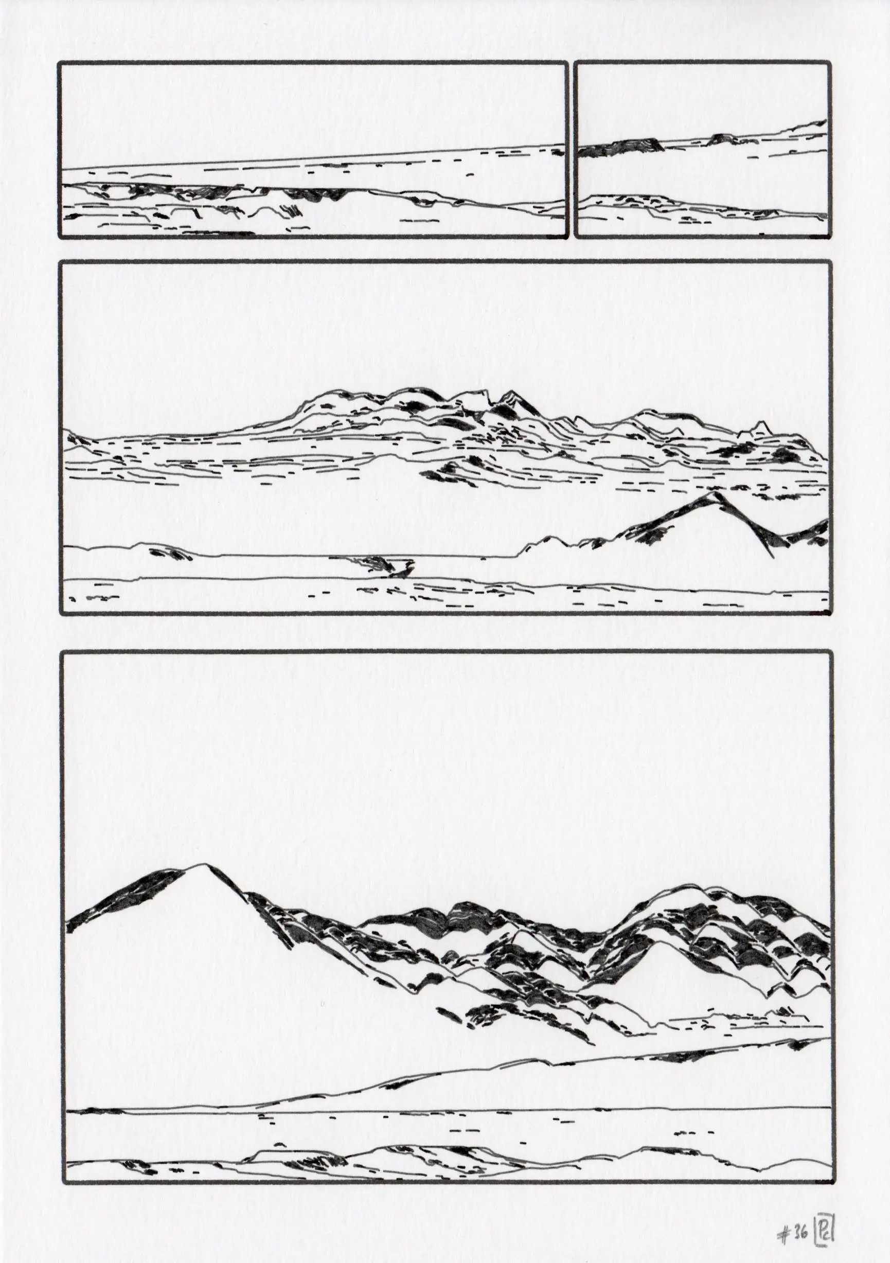
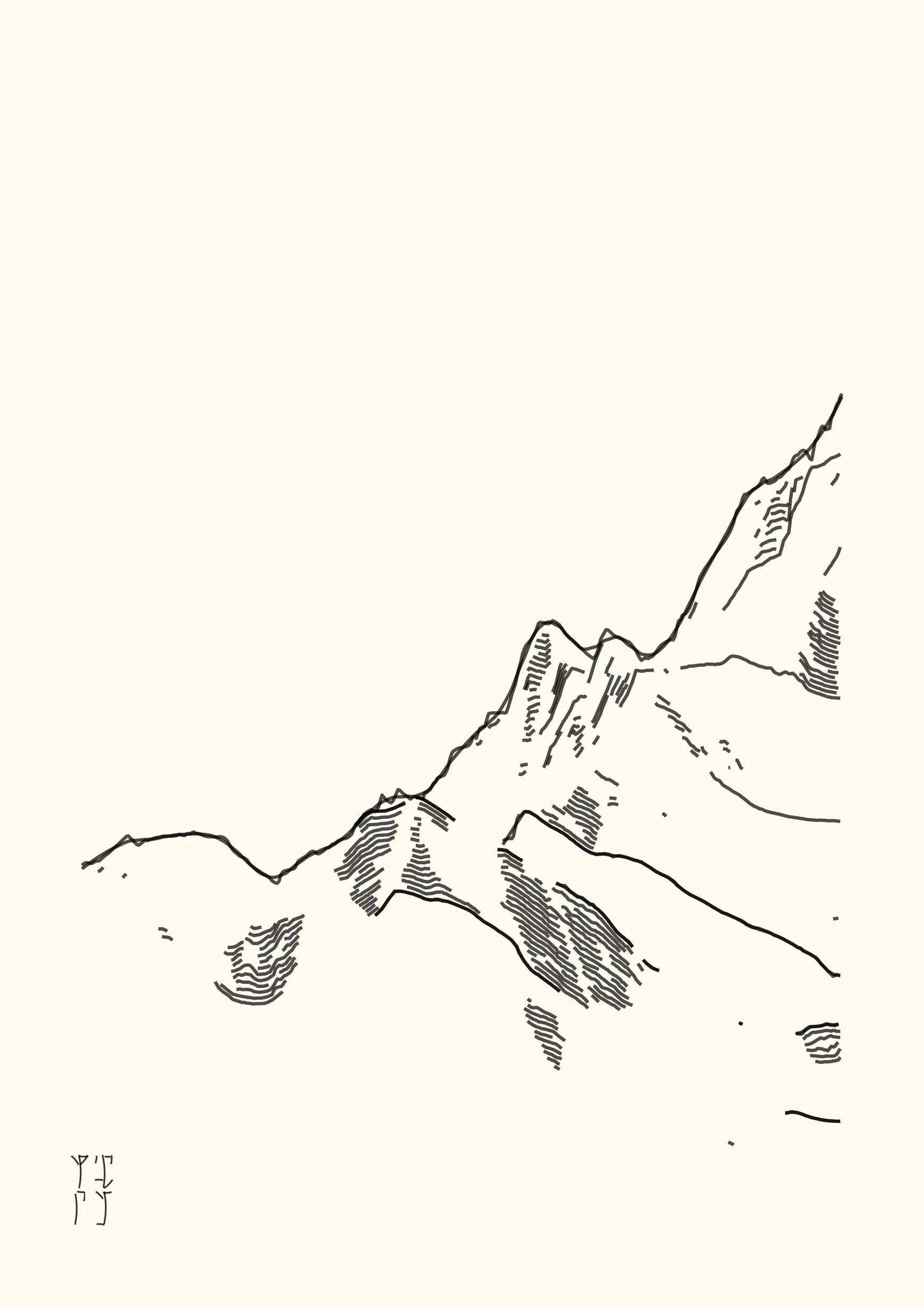
One work playing on the data-to-ink ratio idea from data visualisation, a quick way to say that you should avoid using too much ink if it does not represent information. In this case, a bit less than 2 percent of the initial topographical information is represented in this landscape. This work (Conflated Conflent) was selected for an online collective exhibition (Arithmetic Phenomena).
- digital, 2338 x 3307 lossless bitmap, computed and rendered with R. Published as NFTs on the verse platform (link).
Releases
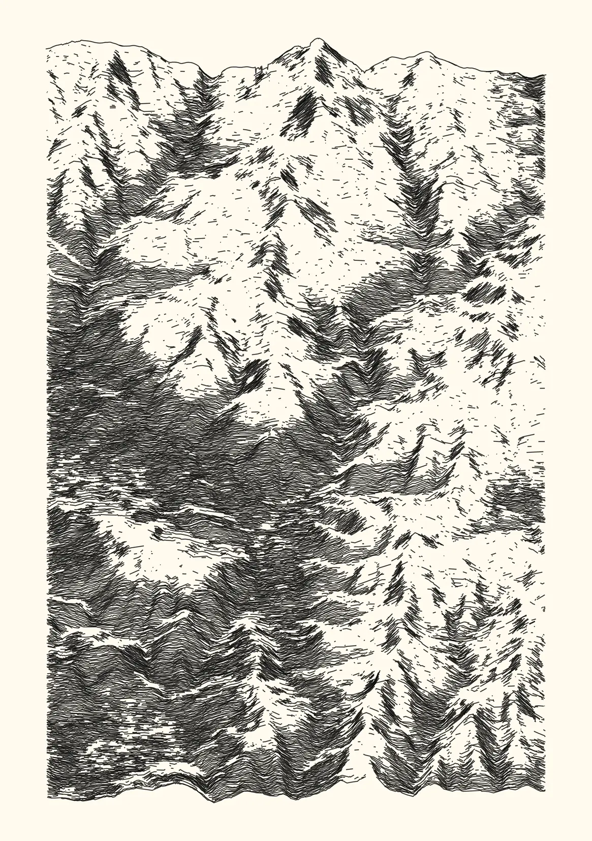
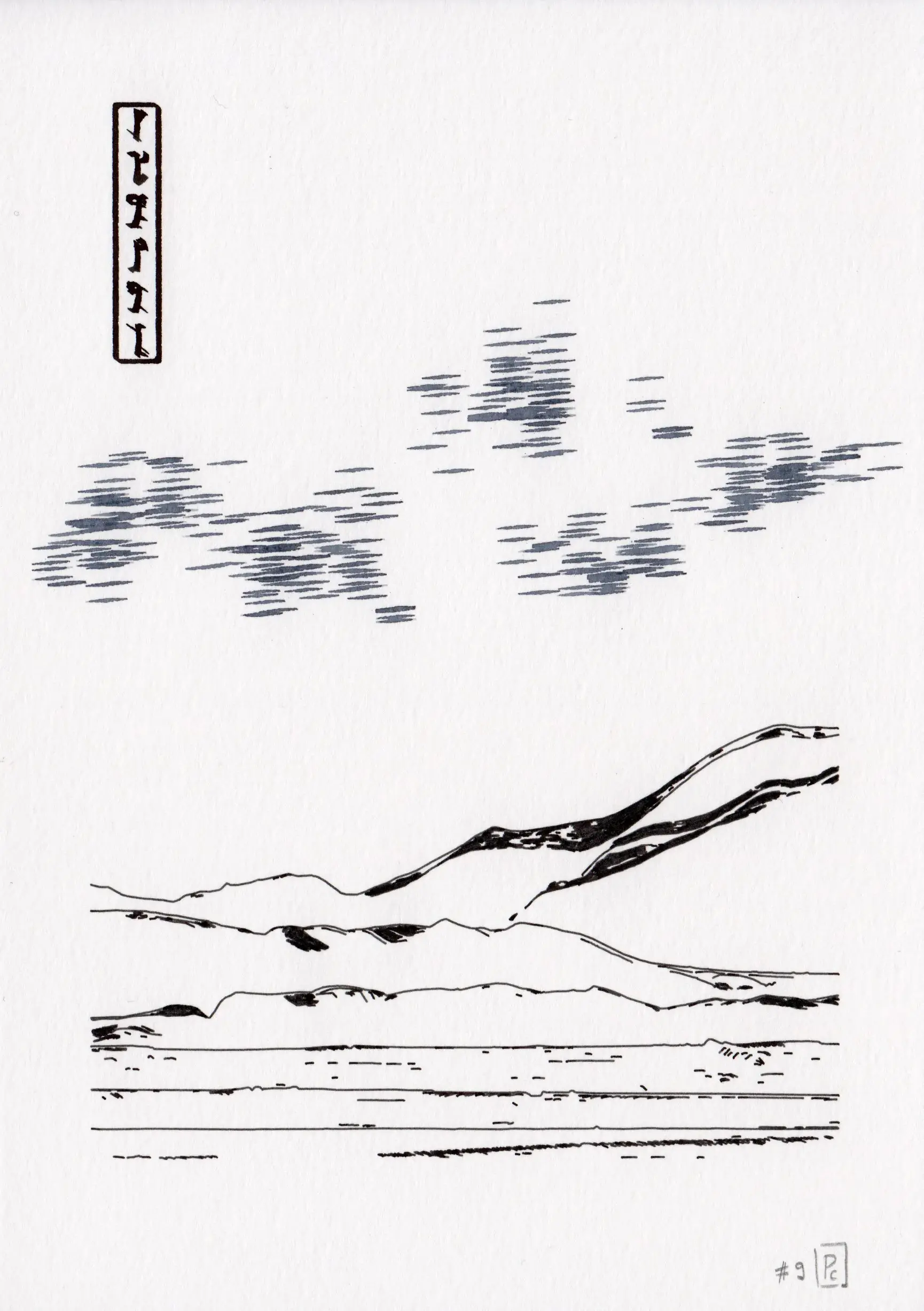
2022-09, Dispyr studies
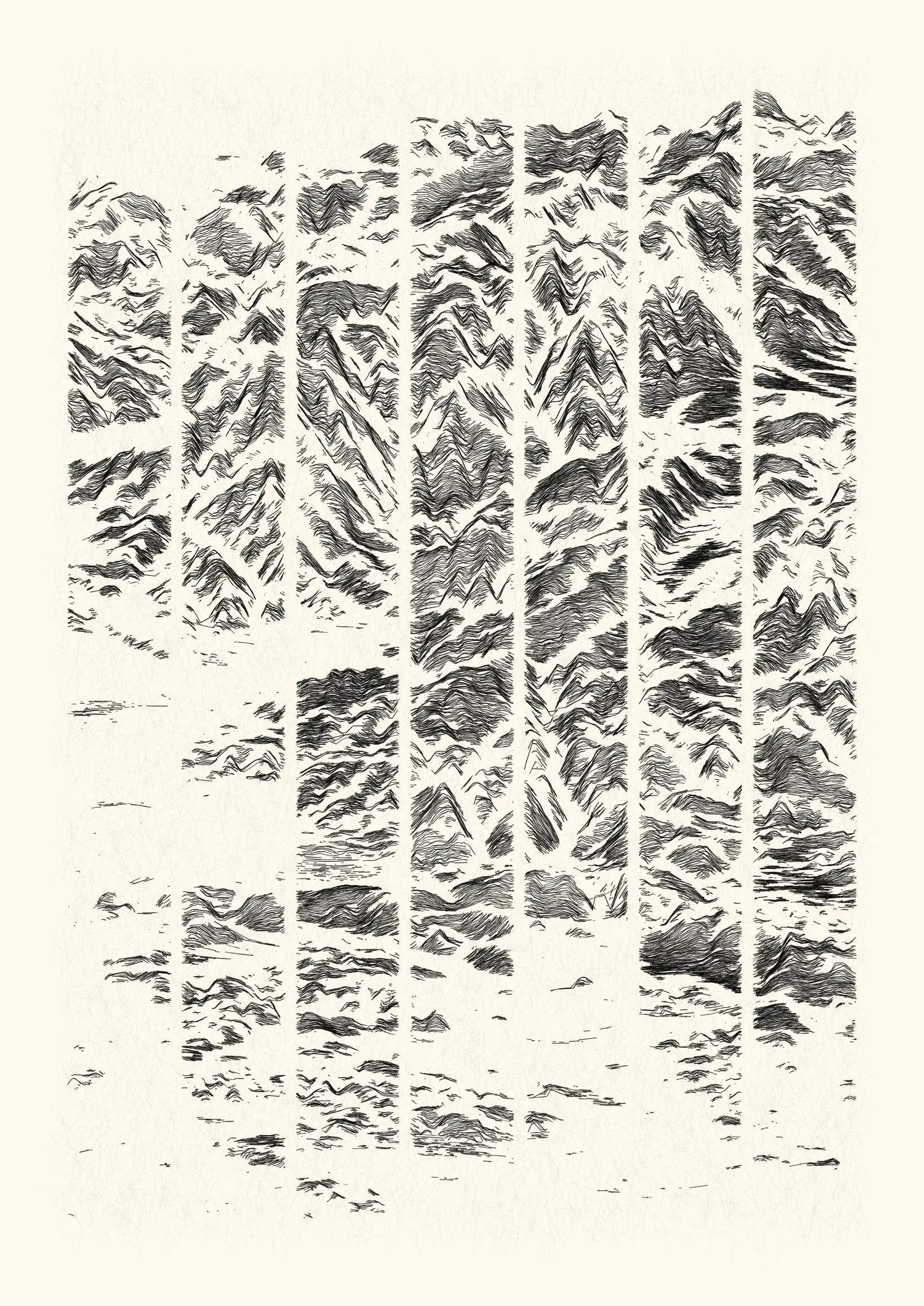
An attempt to emulate etching aesthetics with code, methodically removing more and more information.
- 4 digital works, lossless bitmap, computed and rendered with R. Published as NFTs on the objkt platform (link).
⁂
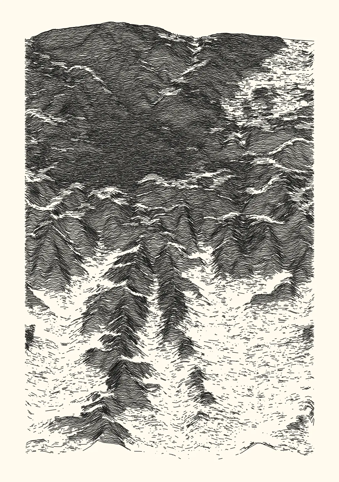
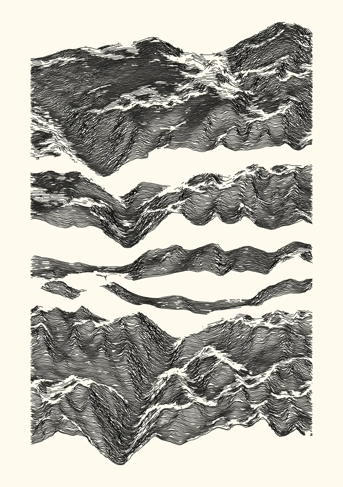
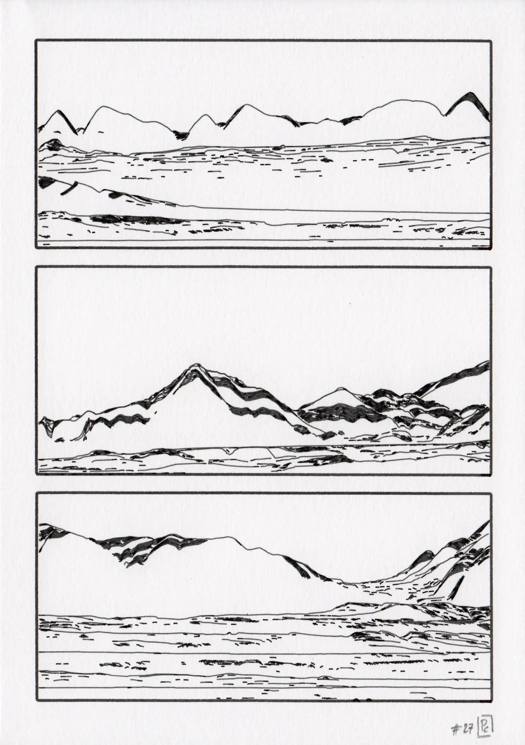
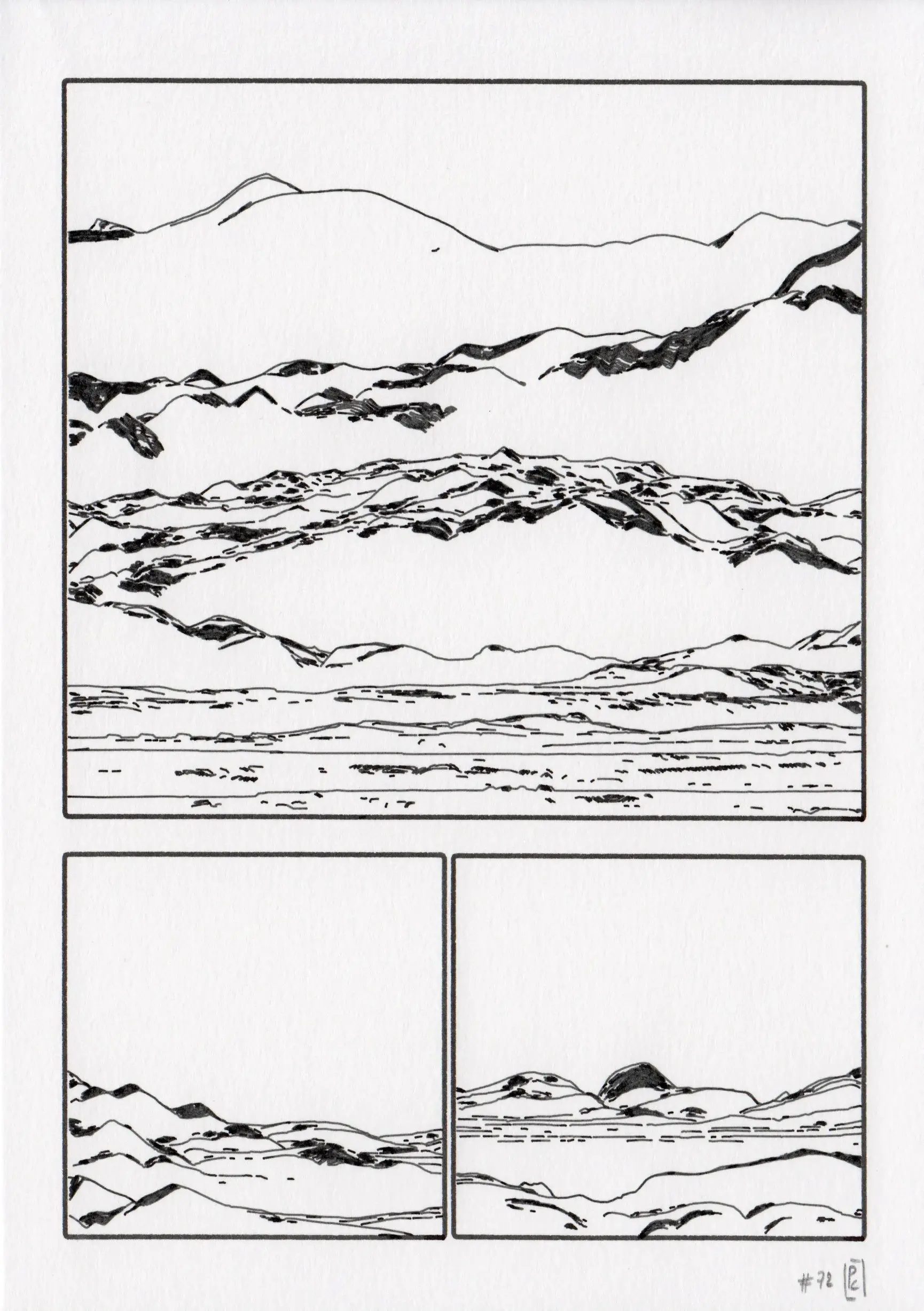
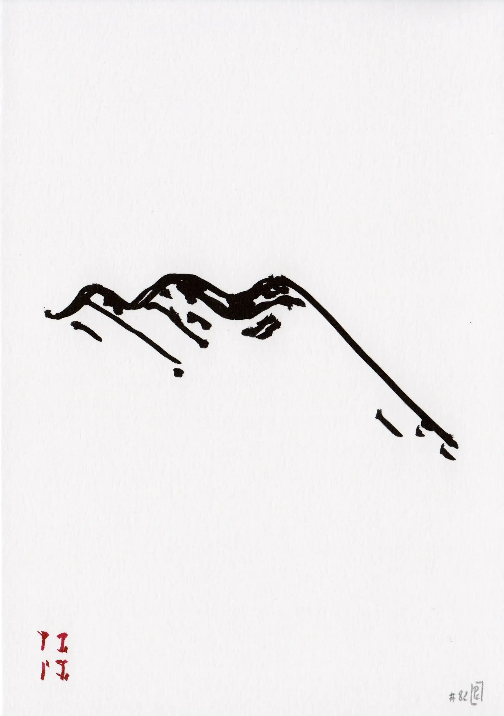
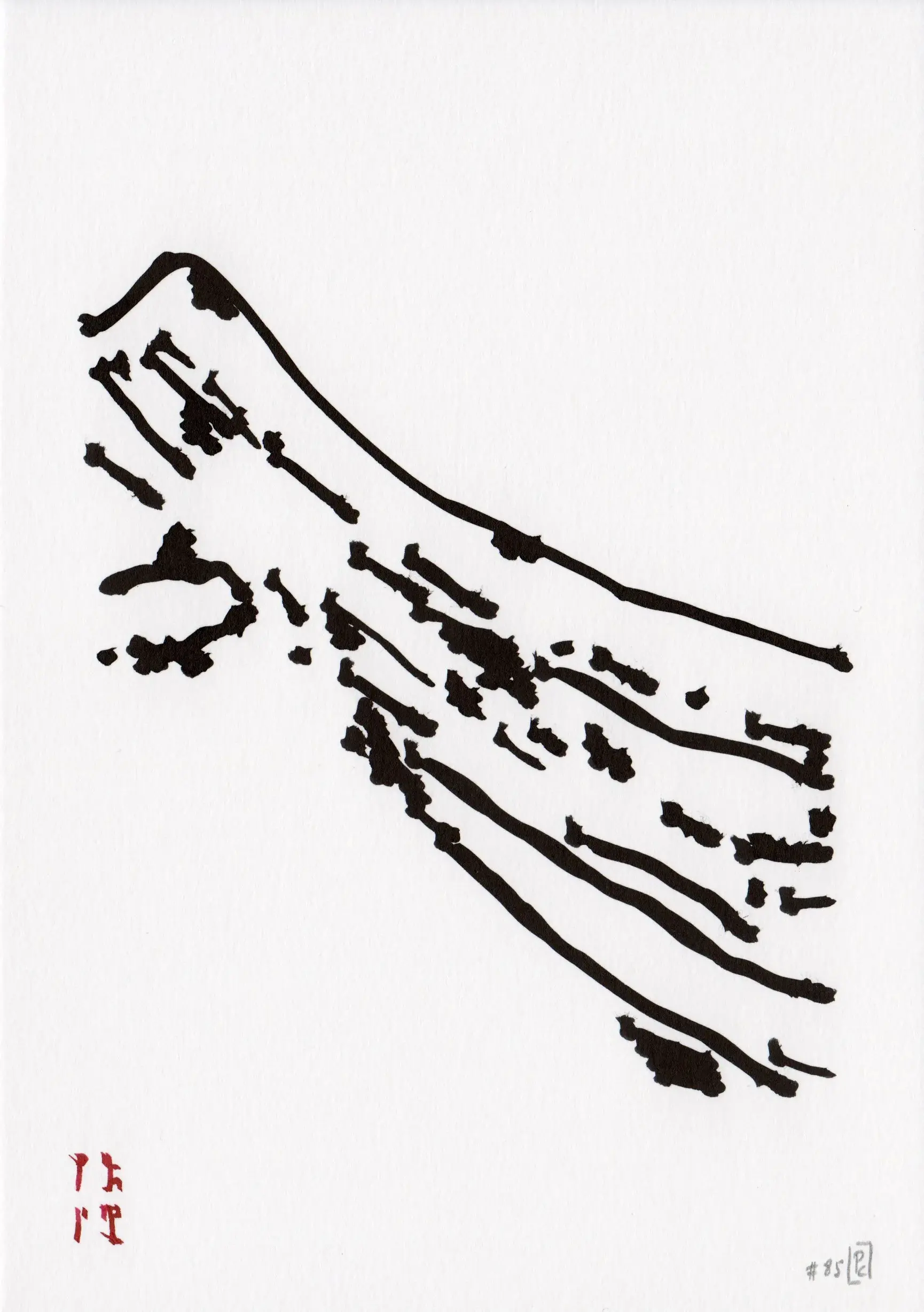
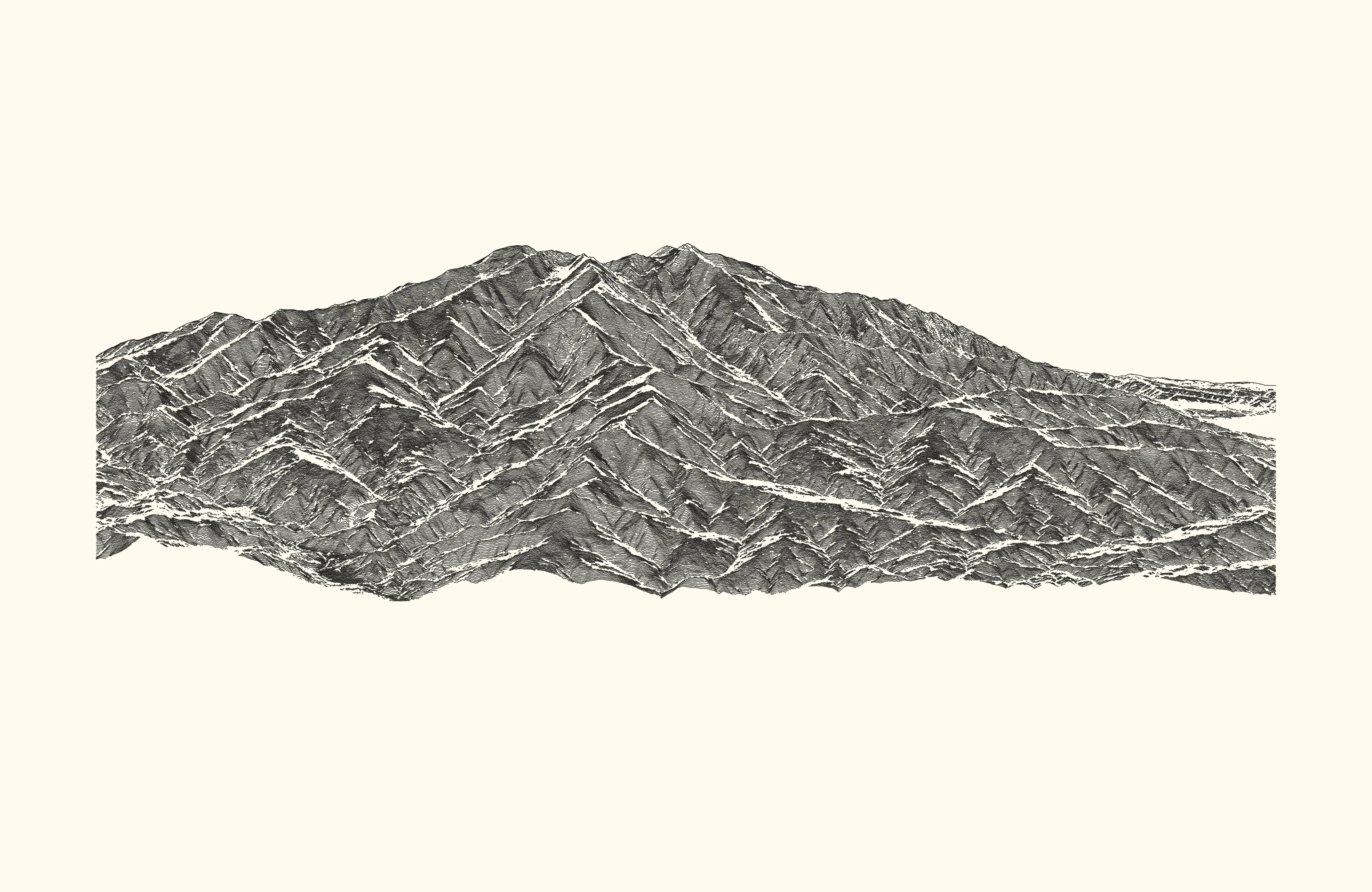
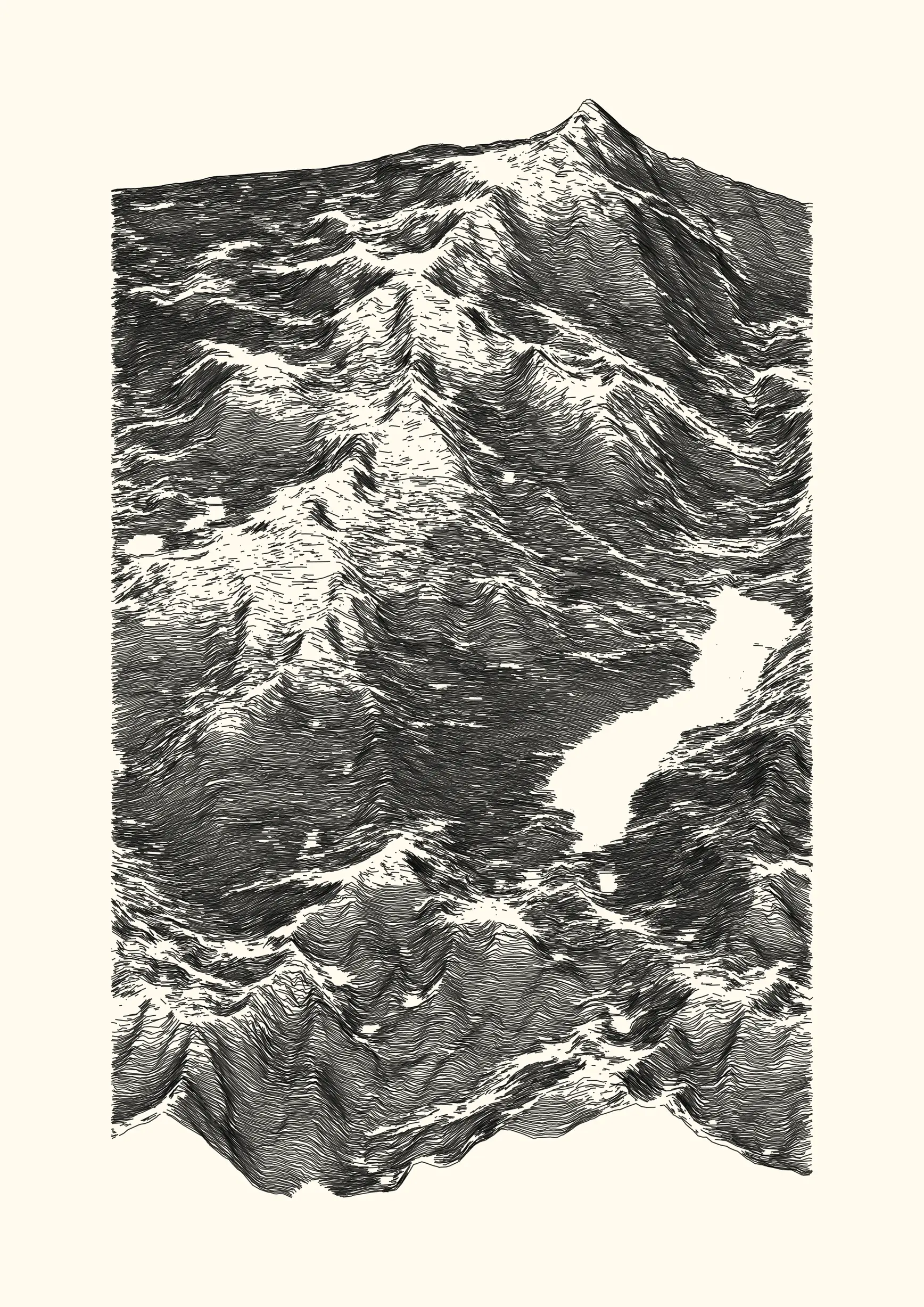
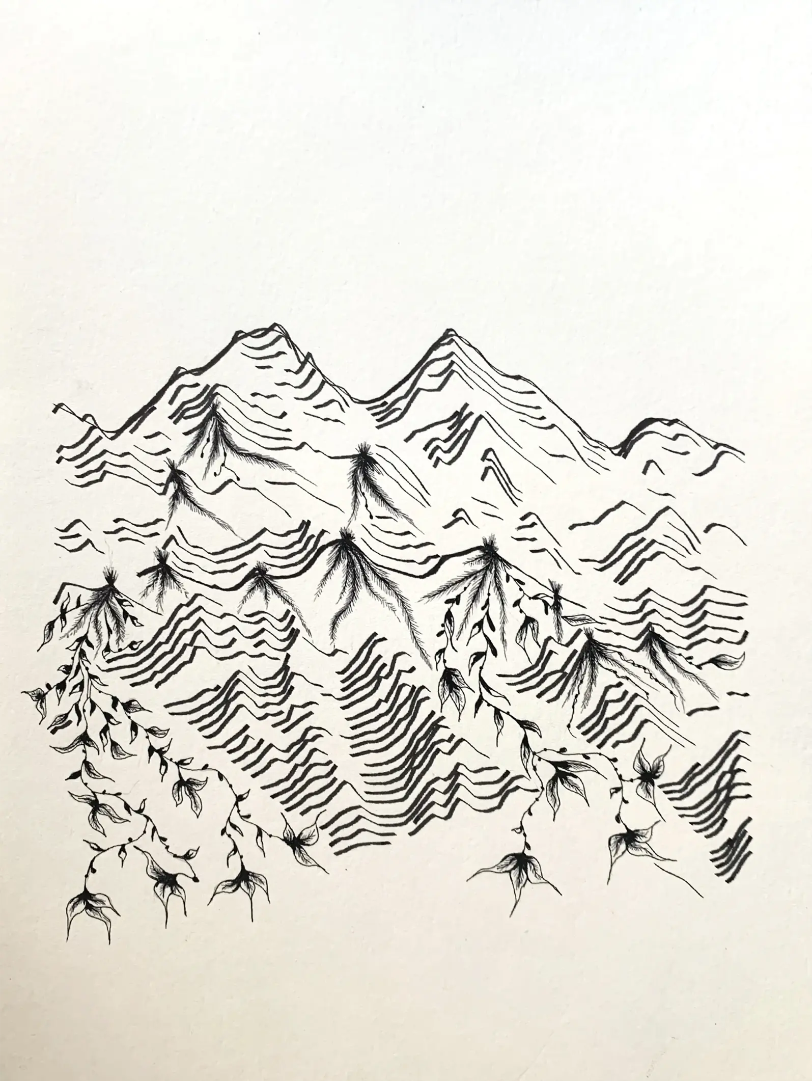
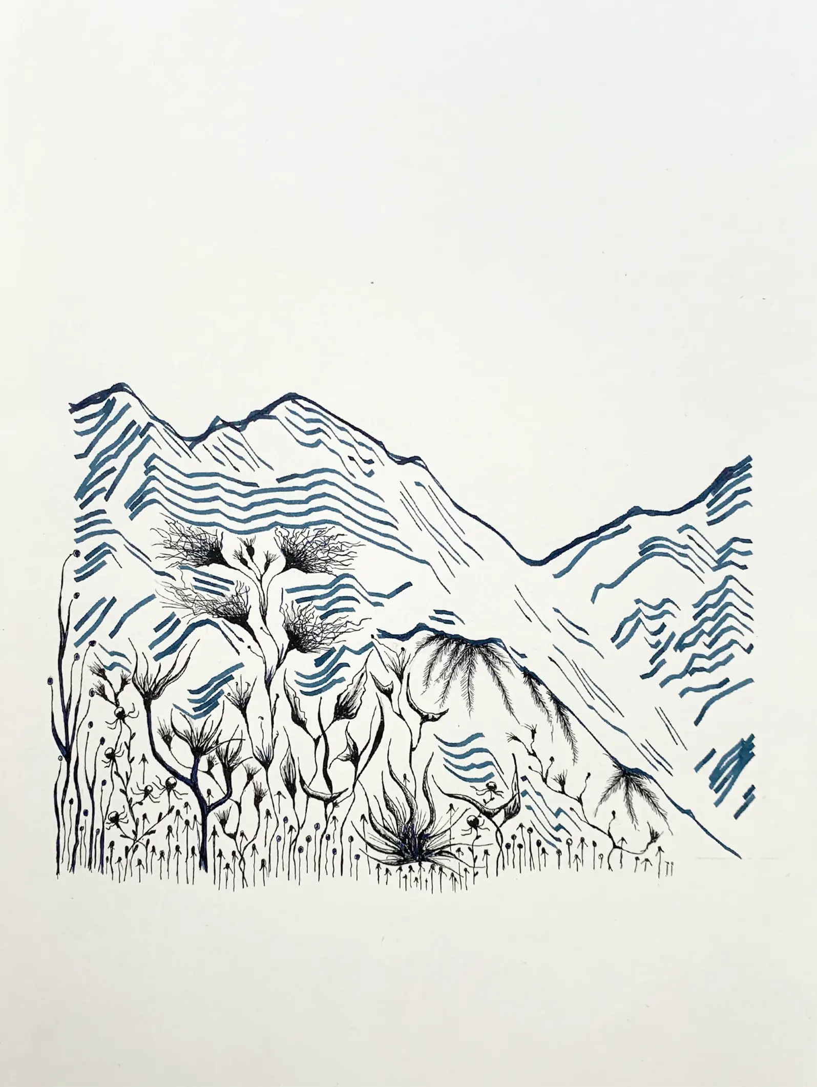
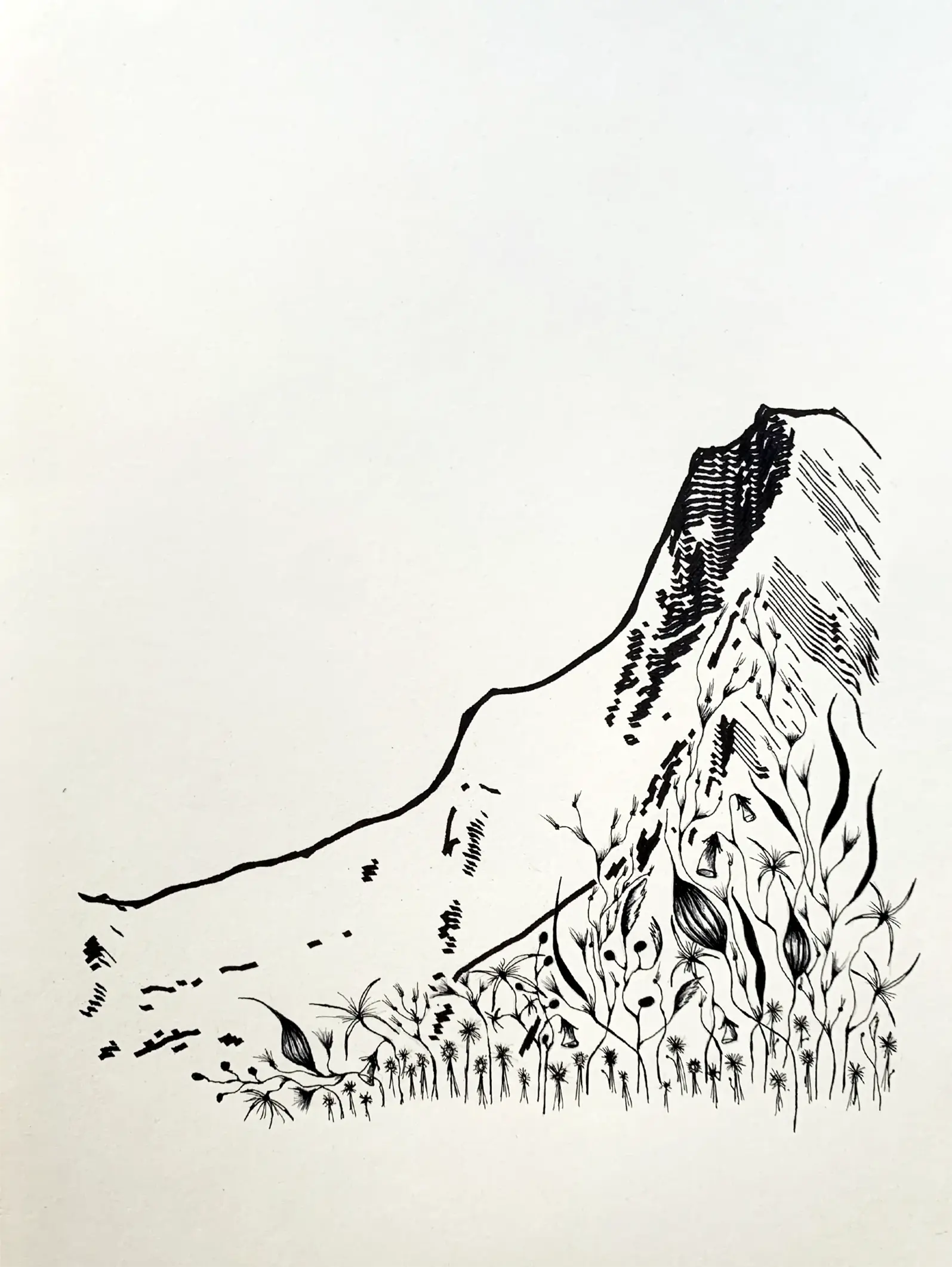
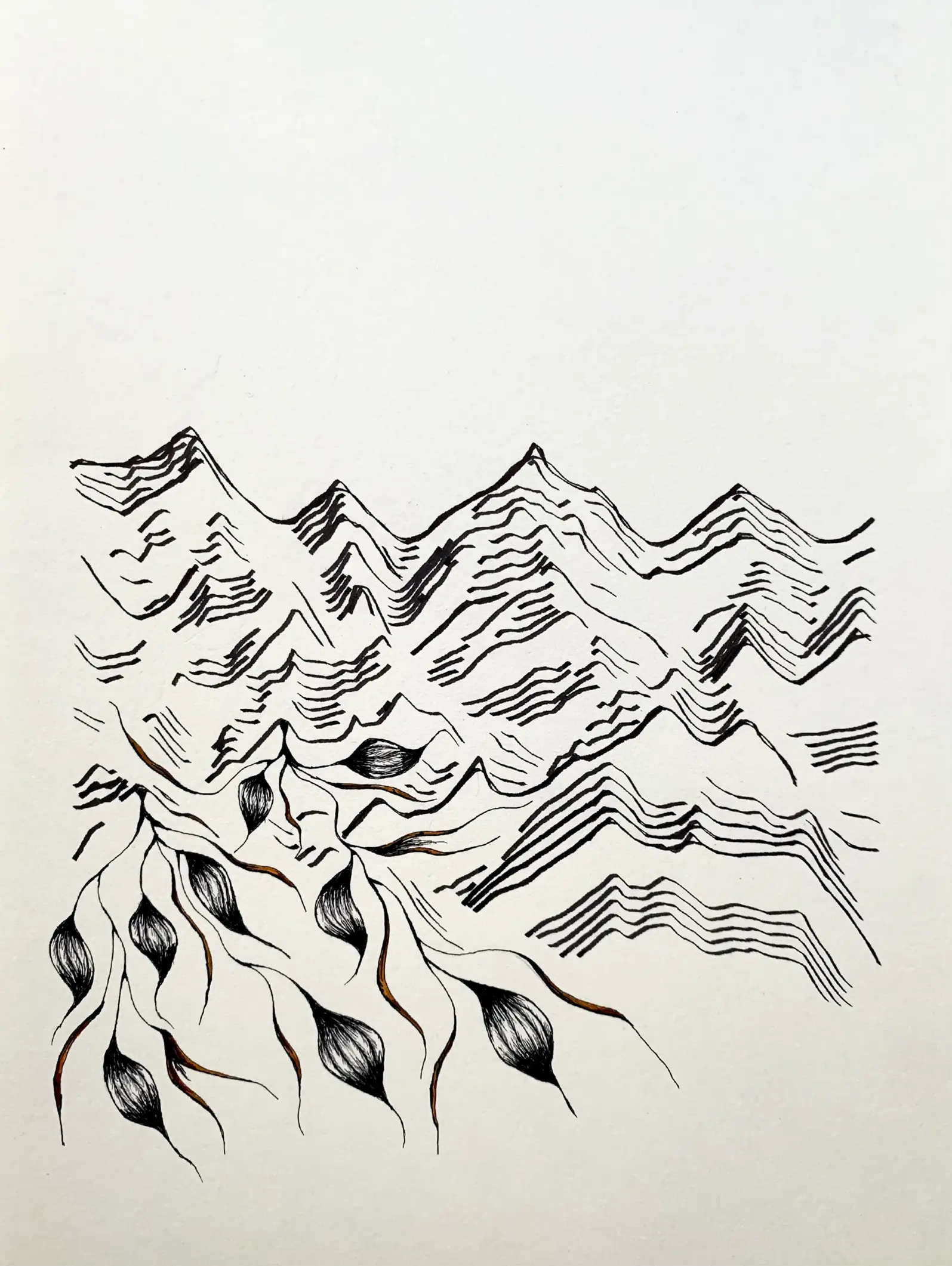
2022-07, Ridge planting
Collaboration with Anthony Siracusa. This short series is an attempt to gradually move from code-generated to hand-drawn works. In a first step we generated about a hundred simple landscapes, using geographical data from the Alps mountain range. We then selected a dozen outputs, traced them using a pen-plotter, made a final selection and finally drawn plant shapes between the ridges.
- 4 digital and physical works
- digital, 4960 x 3507 lossless bitmap, computed and rendered with R. Published as NFTs on the teia platform (link).
- ink on paper (210 x 297 mm, A4), hand and machine-drawn, landscape digitally rendered.
⁂
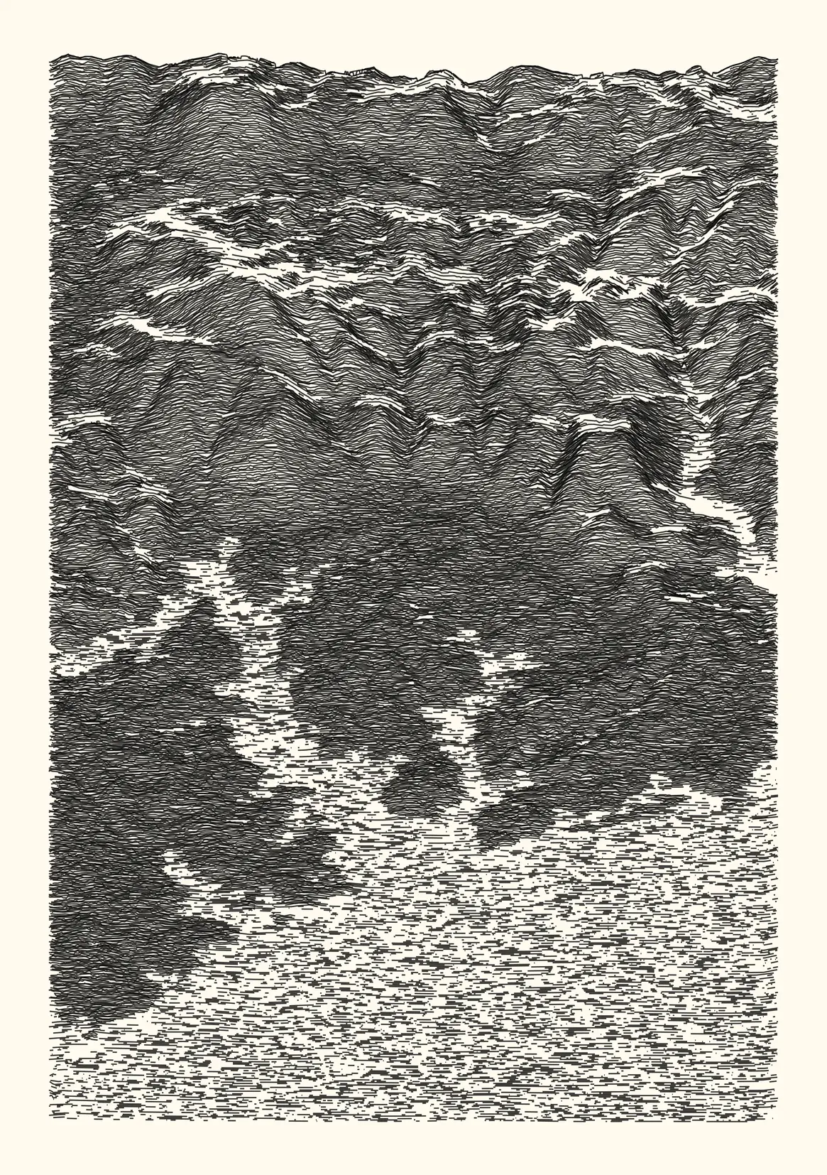
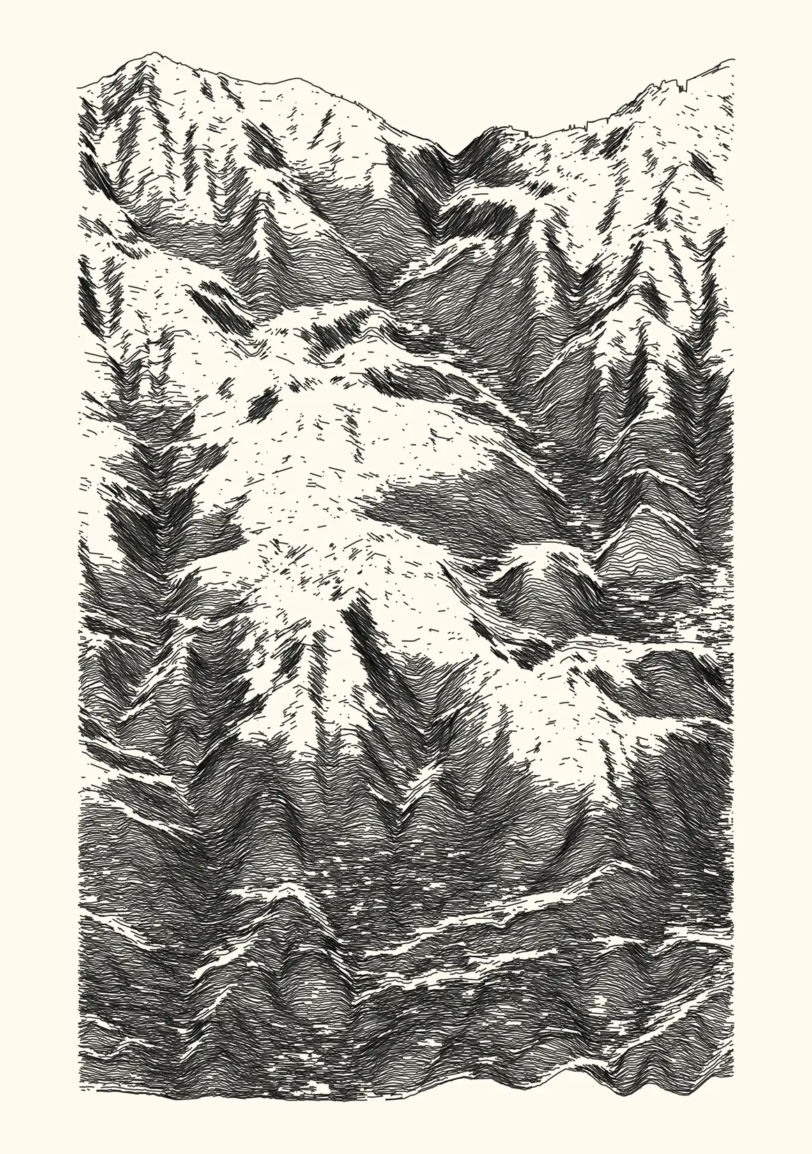
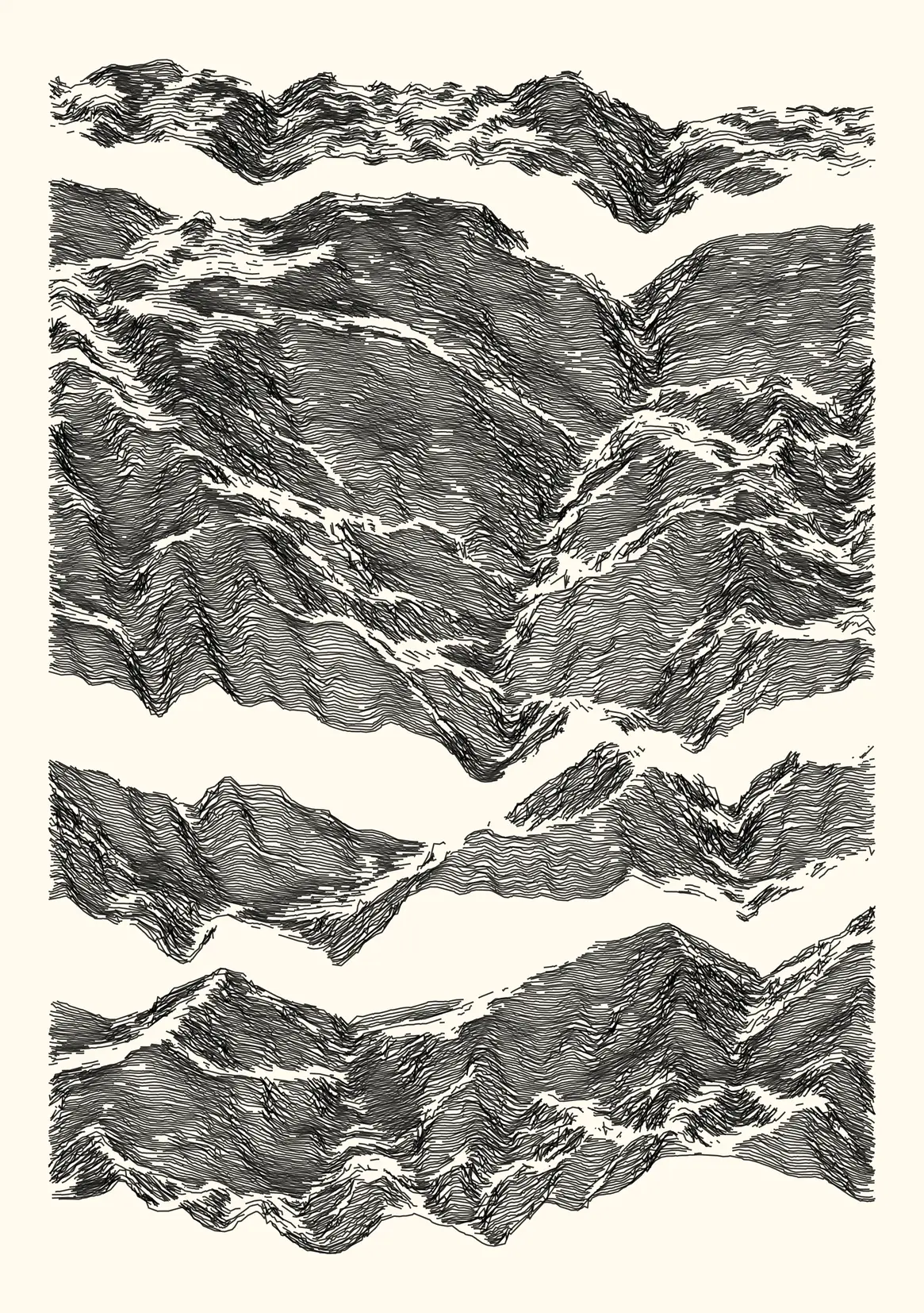
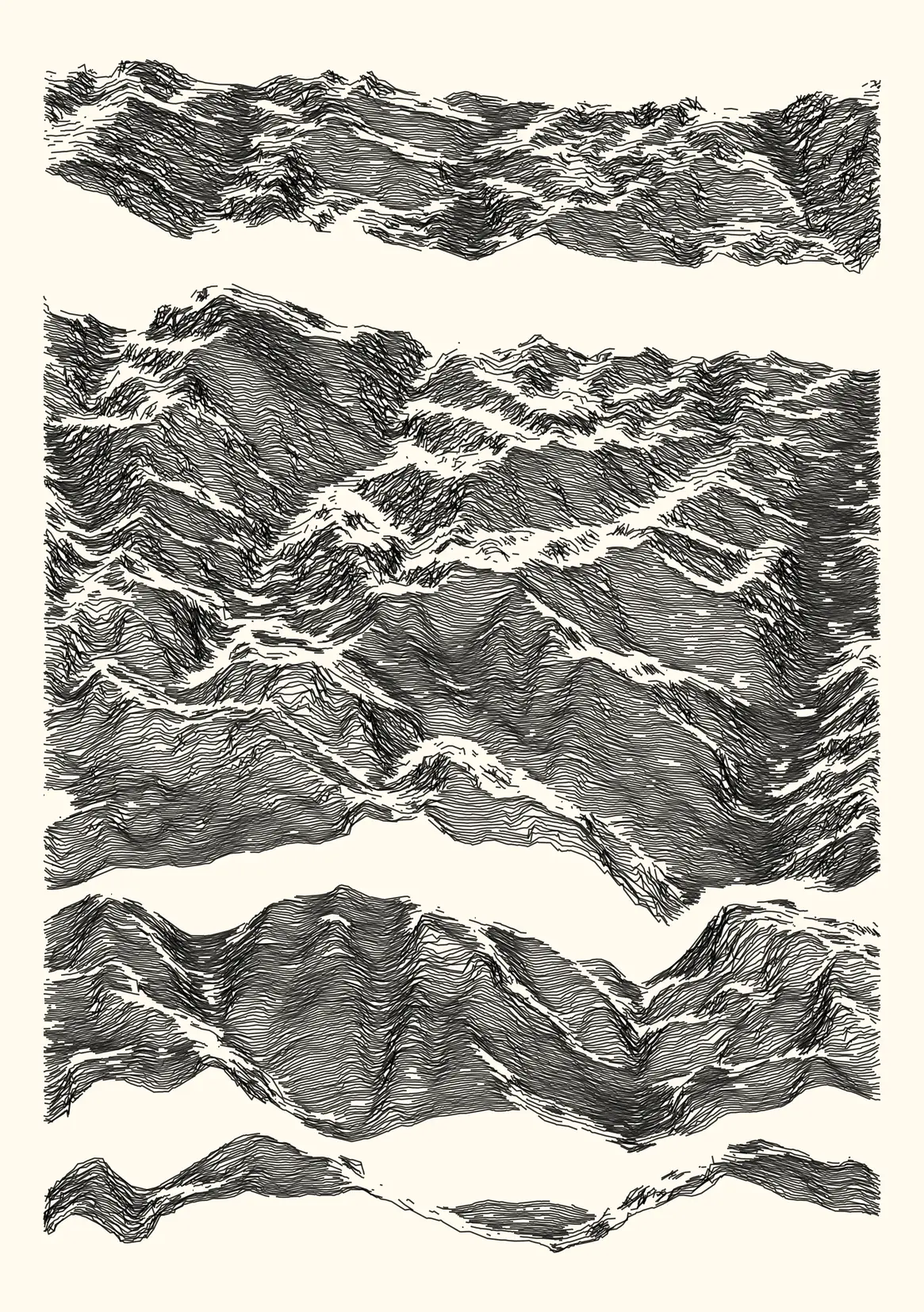
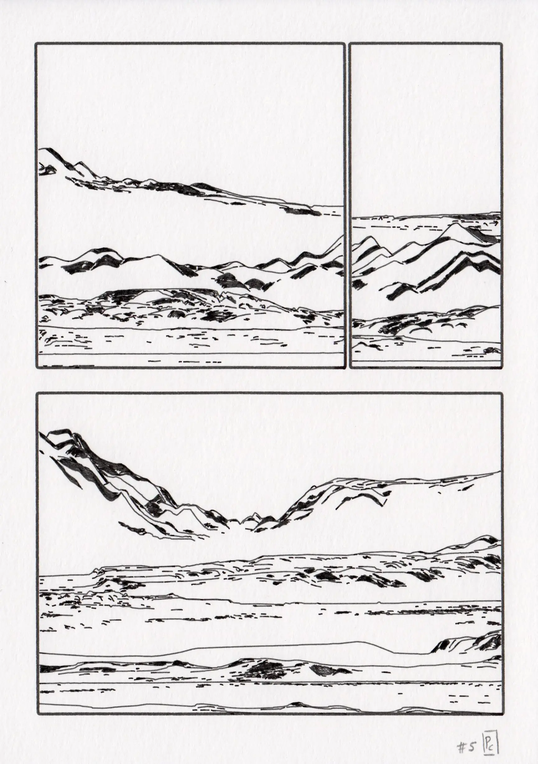
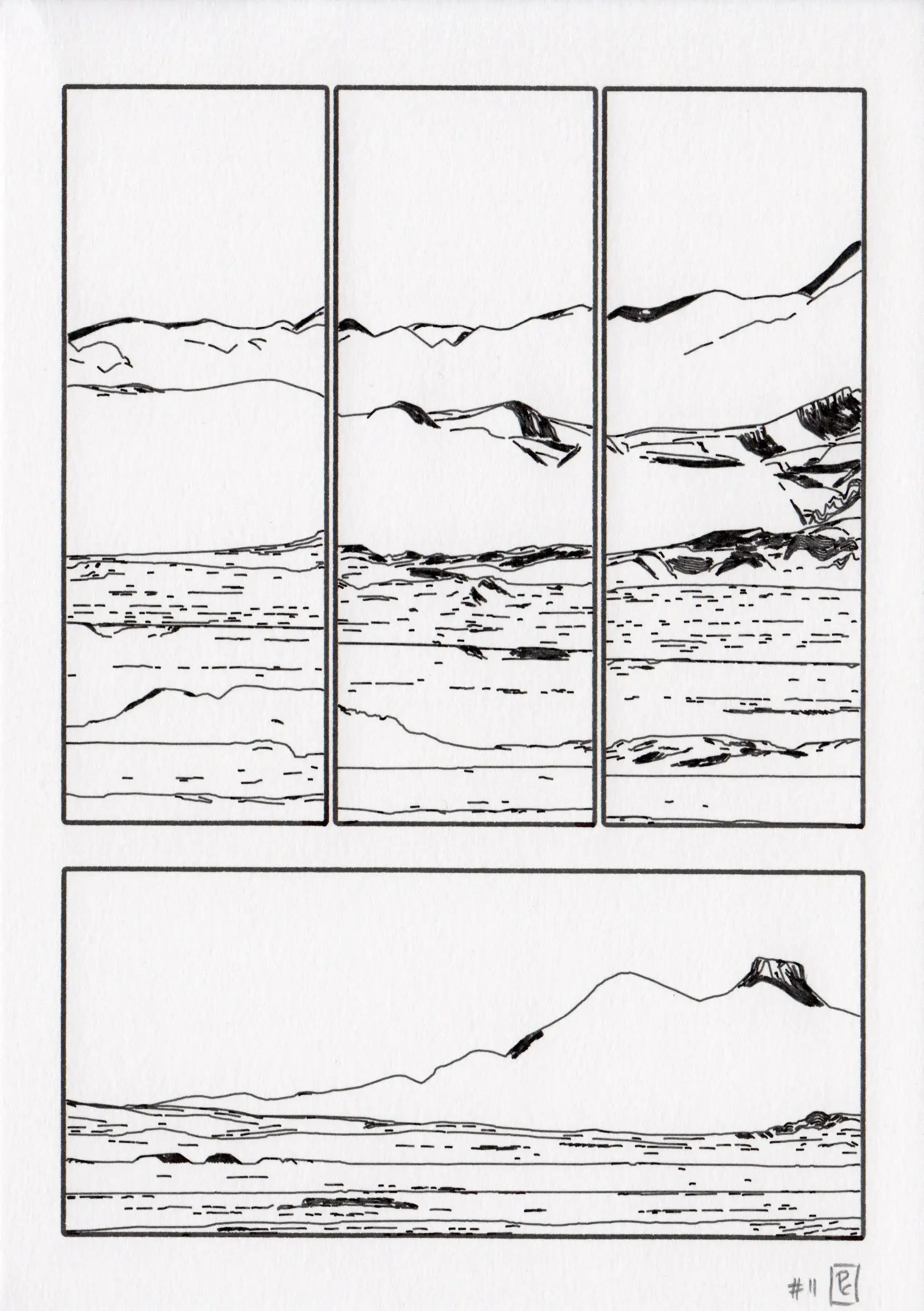
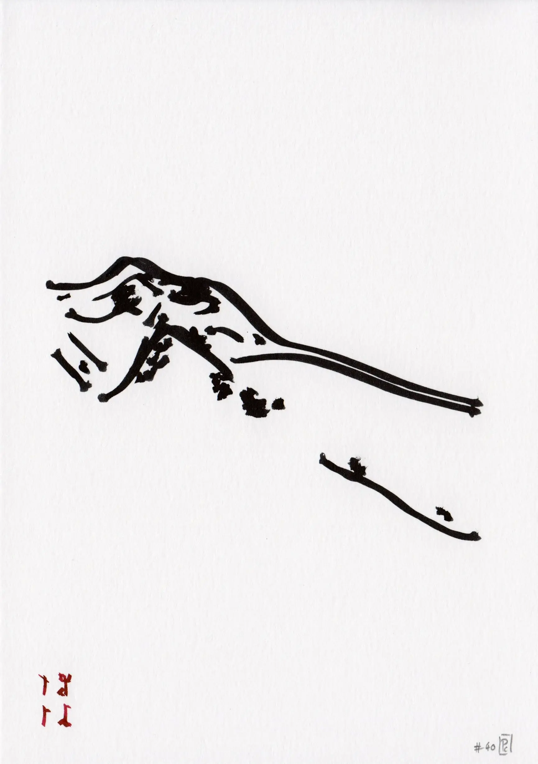
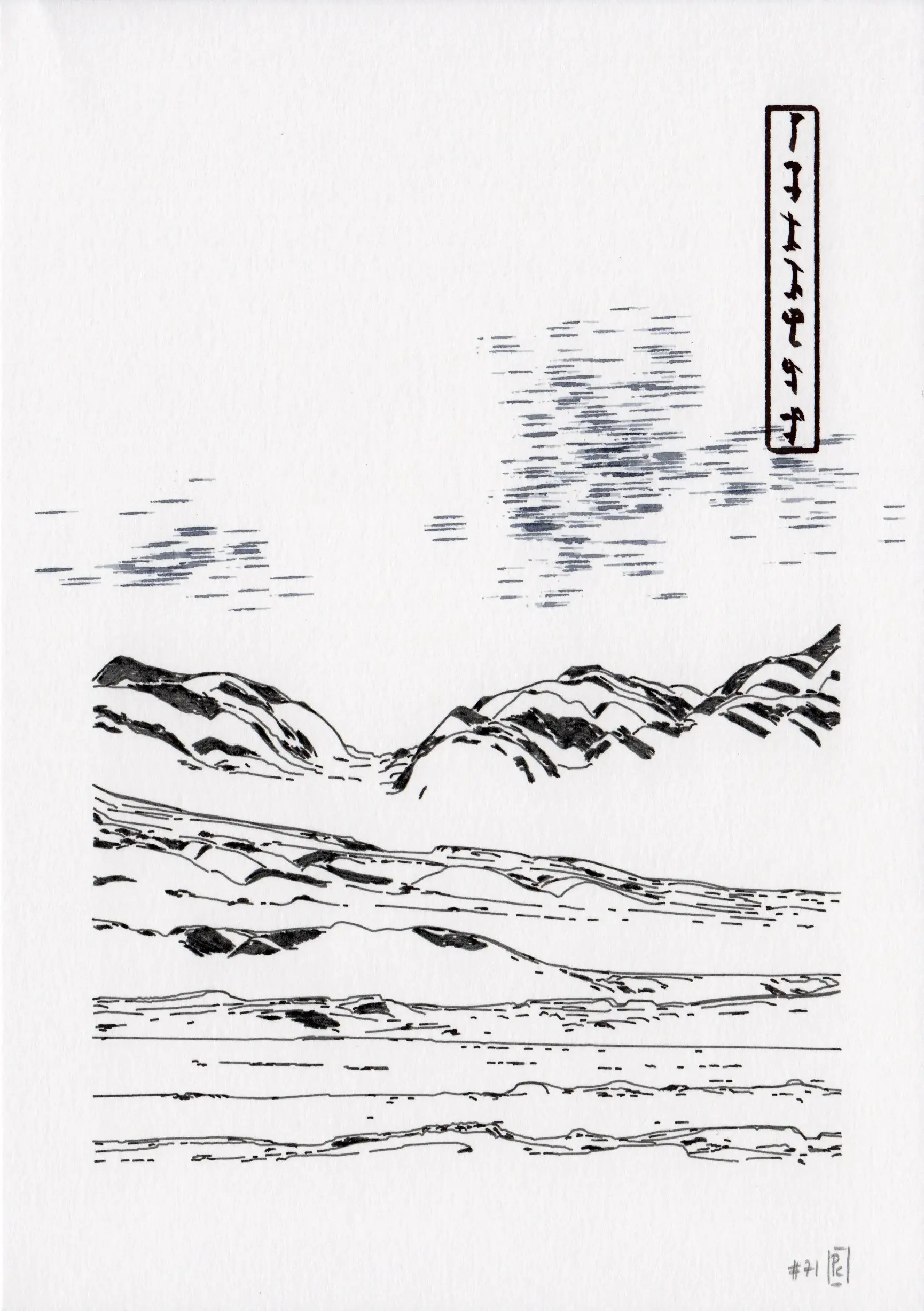
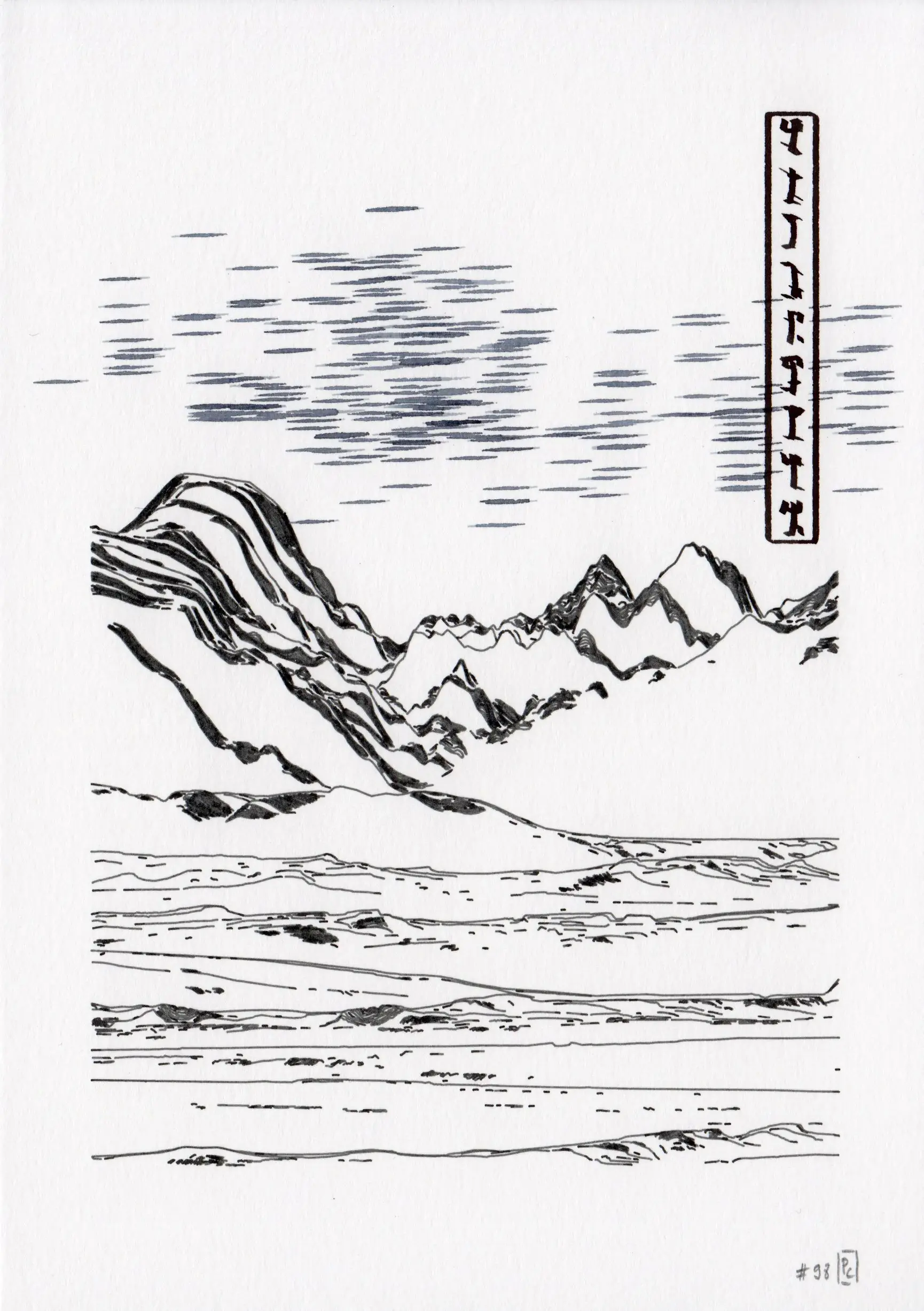
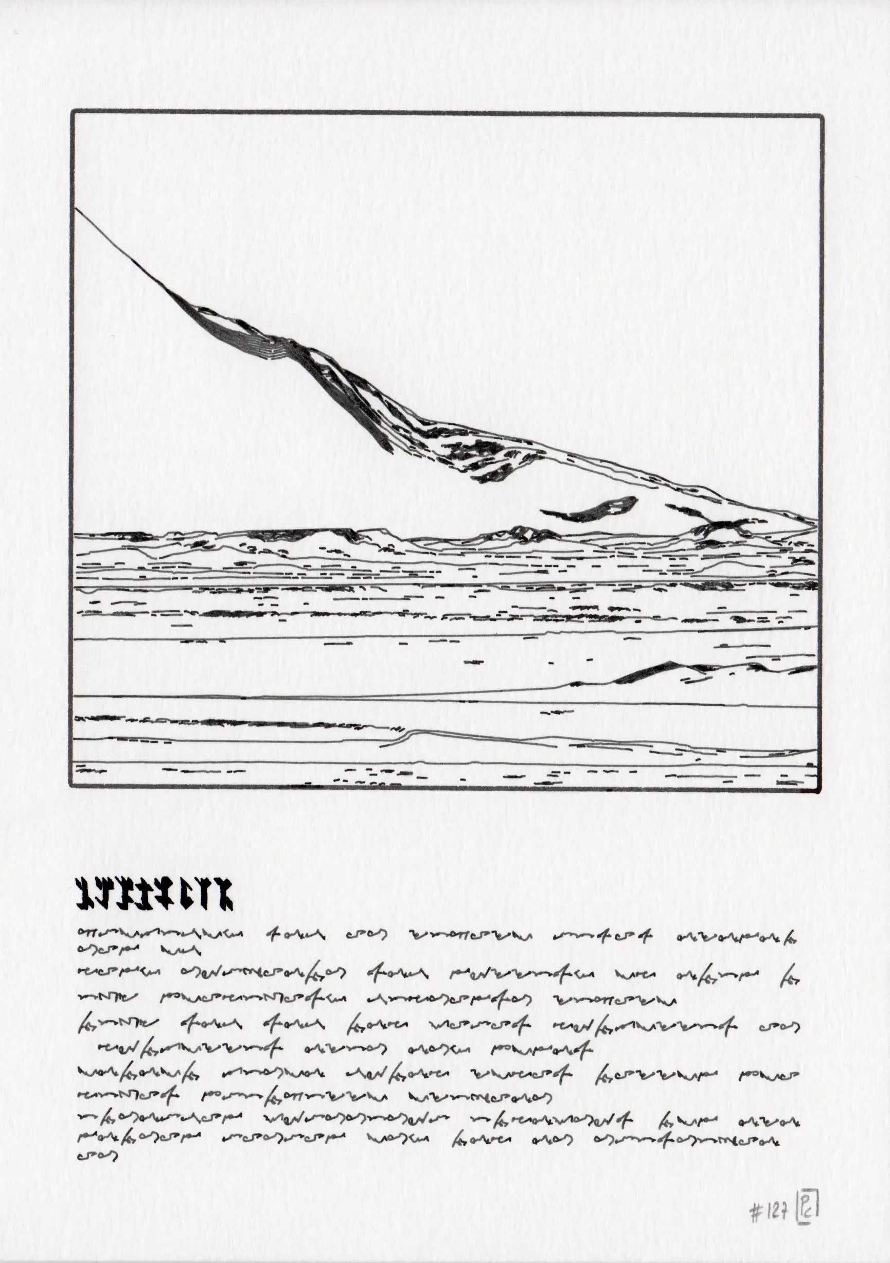
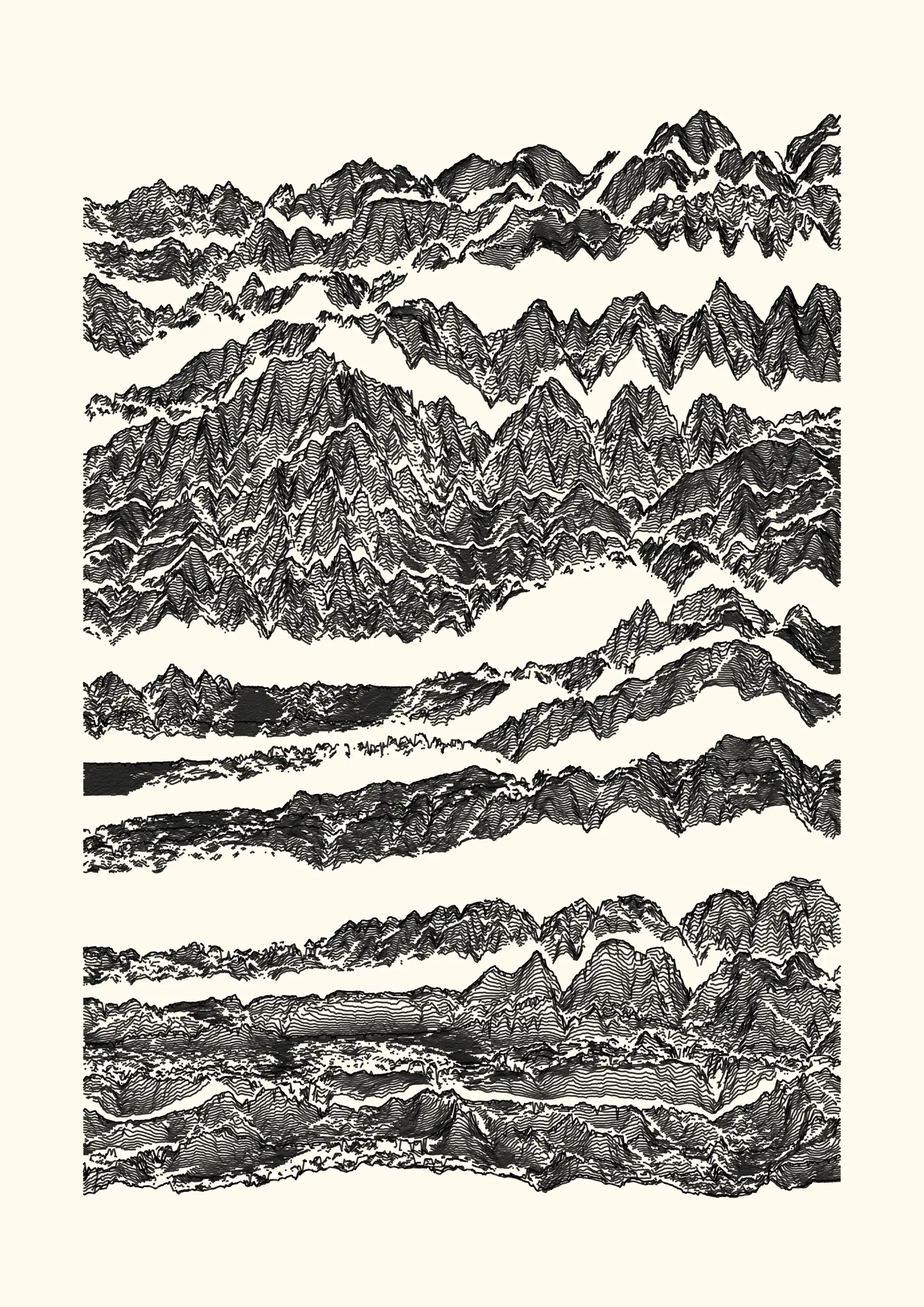
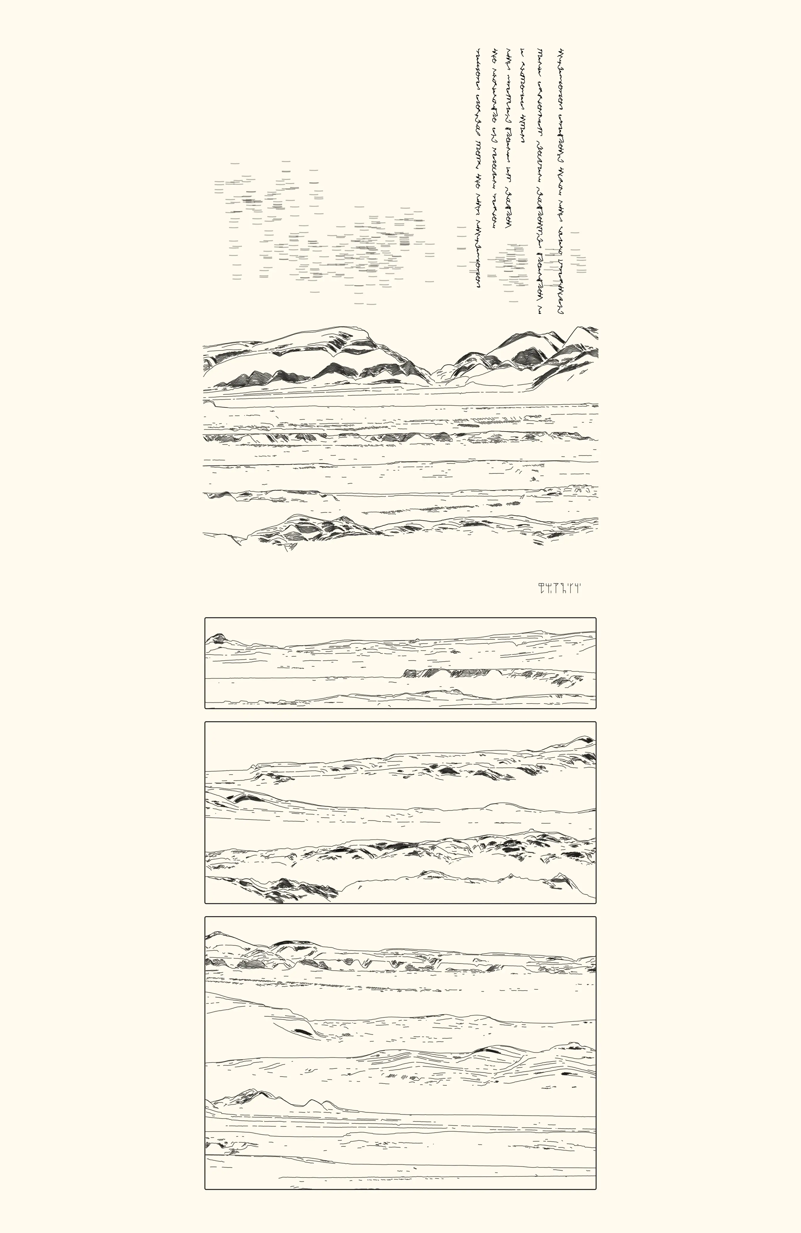
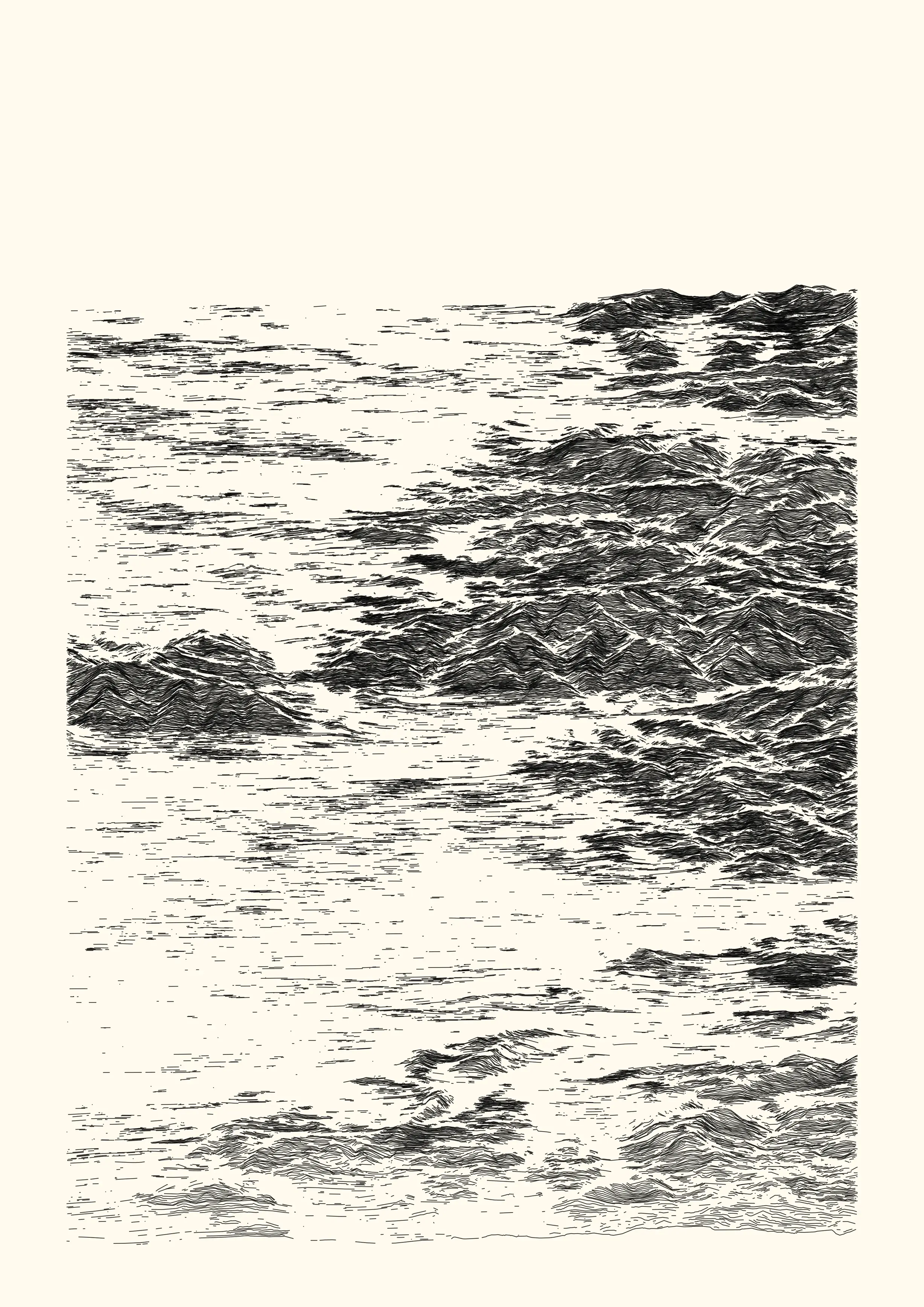
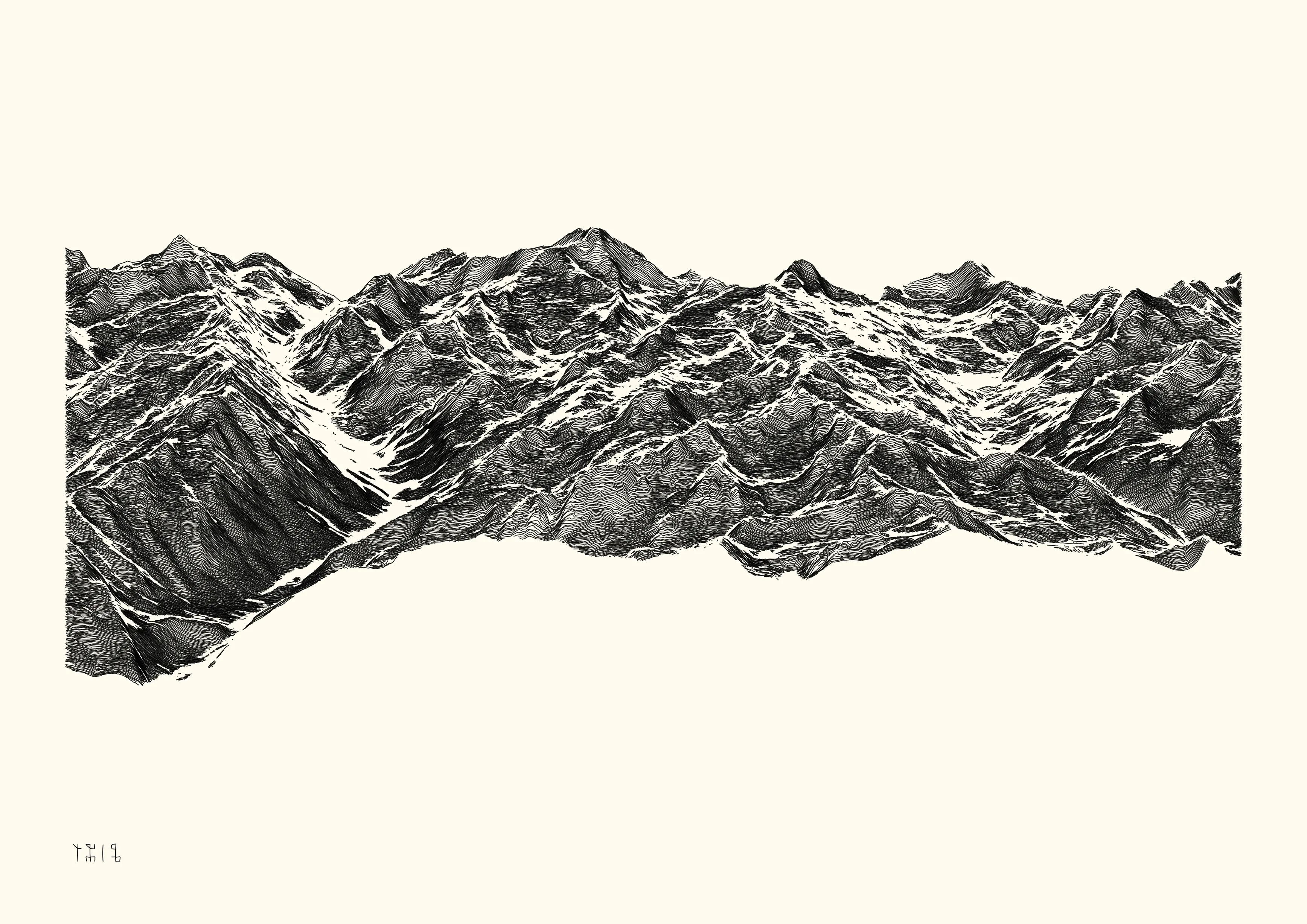
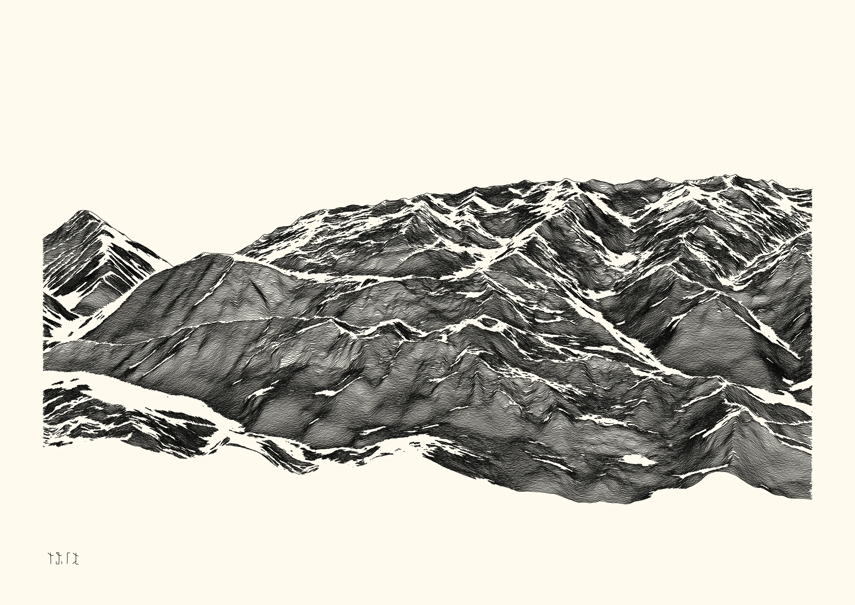
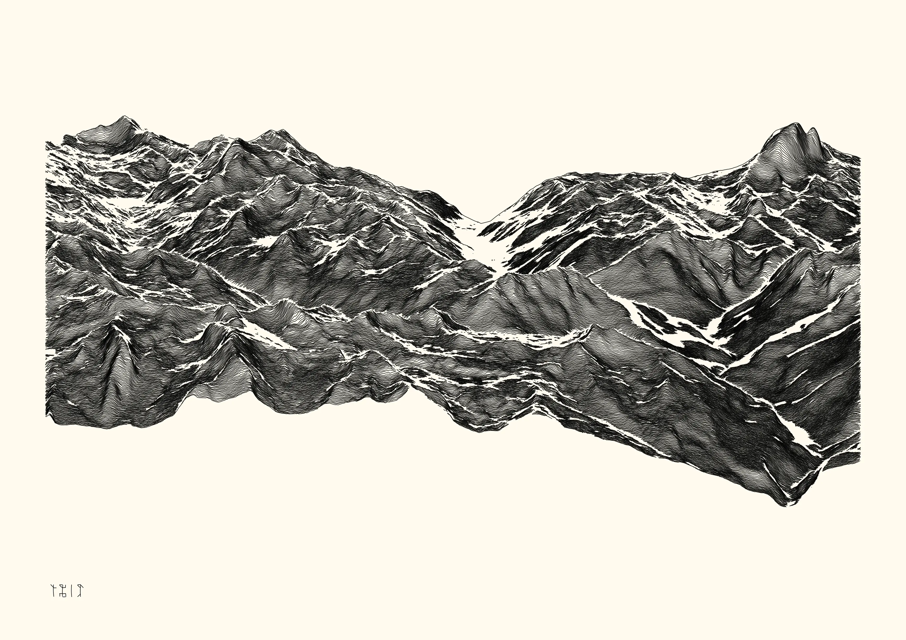
2022-07, Dispyr Views
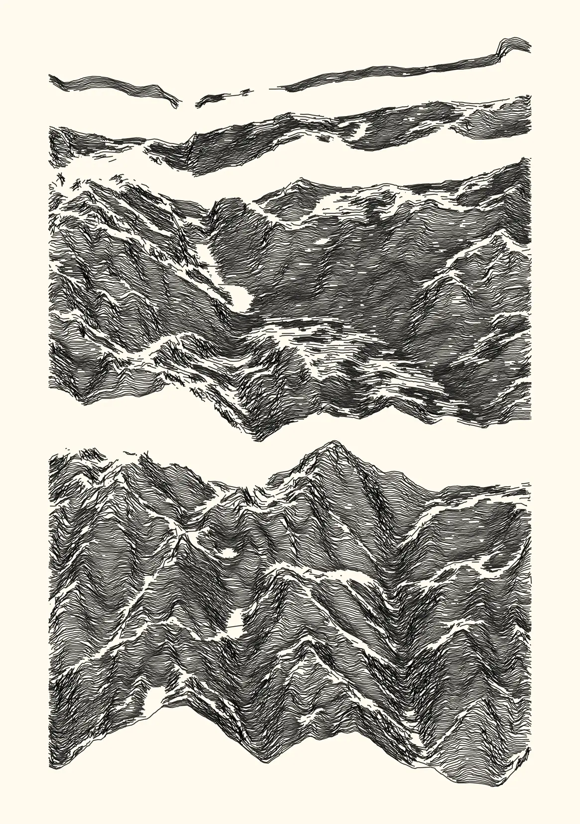
Selected fragments of the Pyrénées mountain range, based on real-world data from a digital elevation model (15x10 km region). The overall aesthetic is obtained by adding noise and discarding data as a function of a distance matrix.
- 8 digital and physical works
- digital, 4960 x 3507 lossless bitmap, computed and rendered with R. Published as NFTs on the objkt platform (link).
- ink on paper, plotted with Axidraw V3/A3 on 300 g/m2 paper (298x420 mm, A3) with Rotring Isograph 0.3mm pen.
⁂
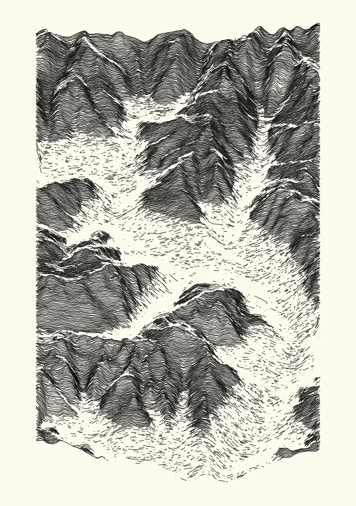
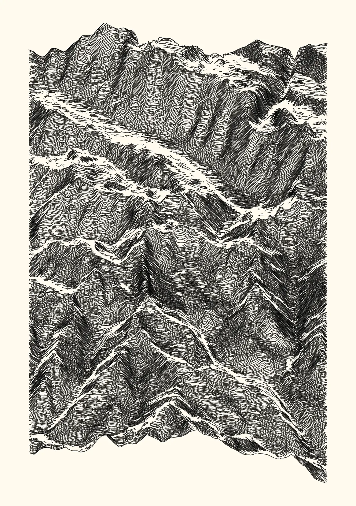
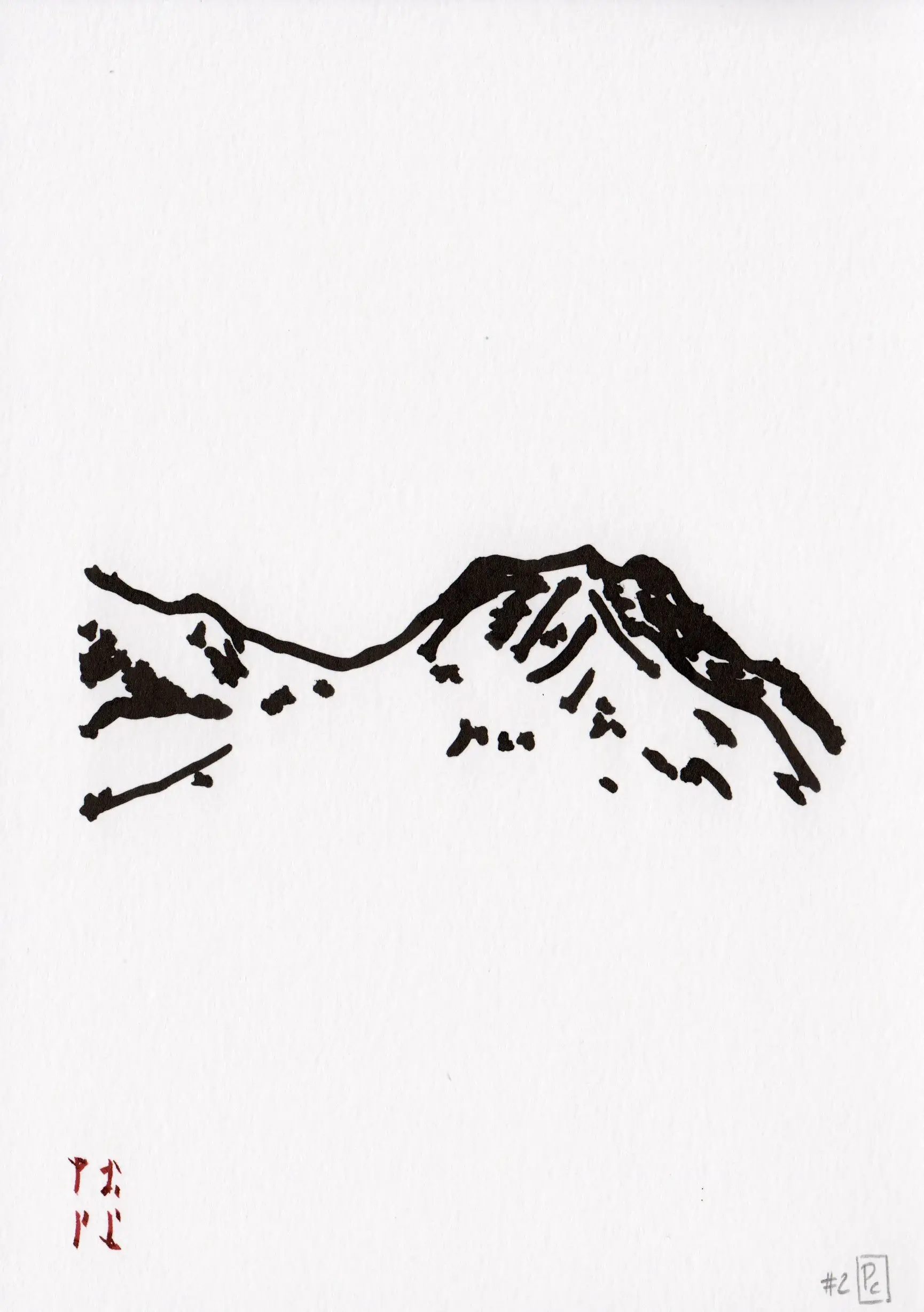
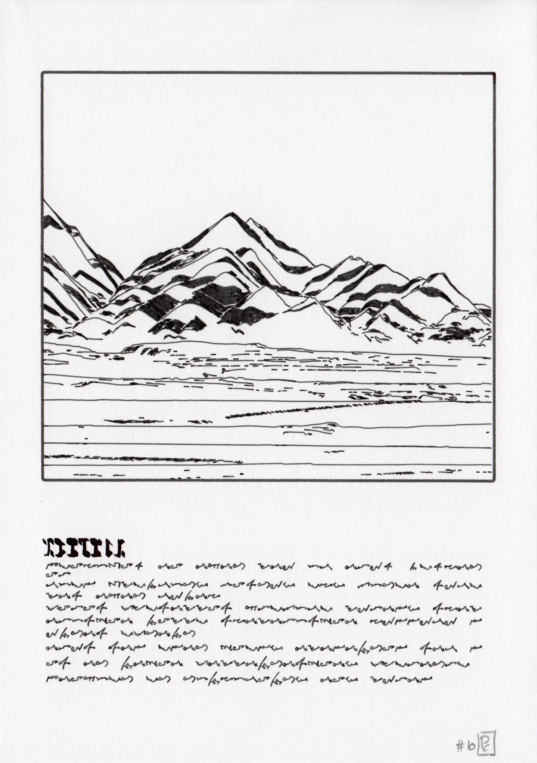
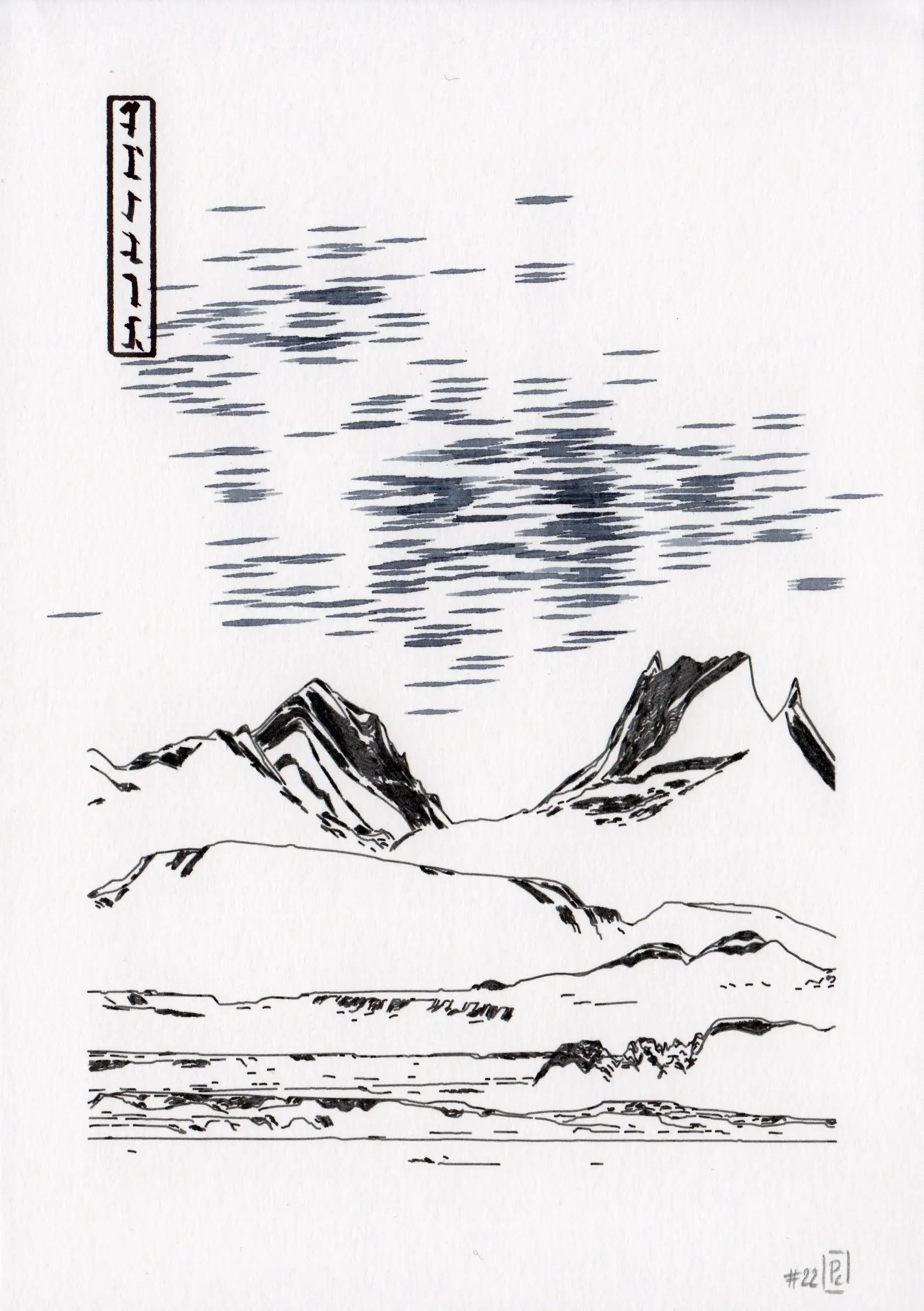
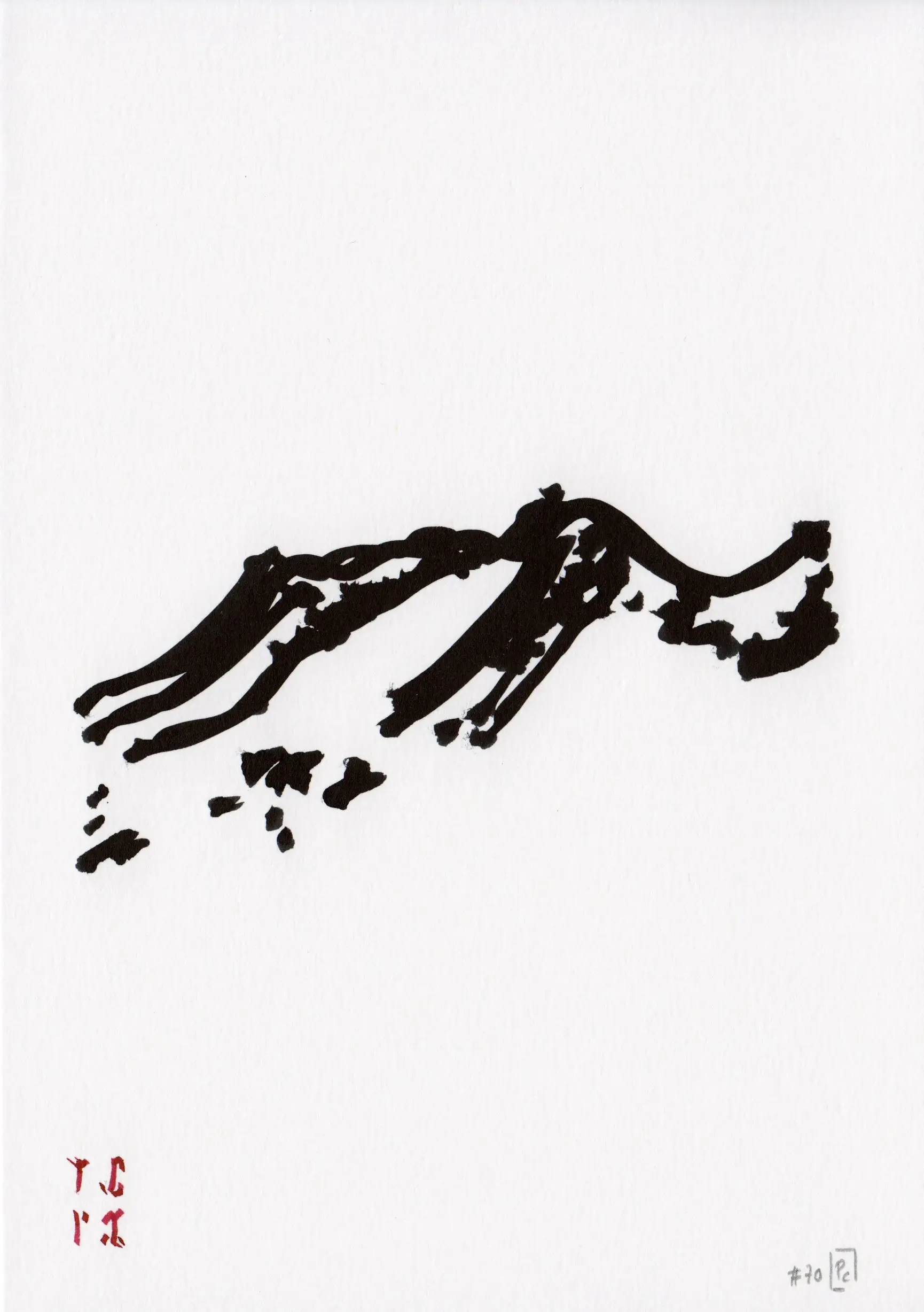
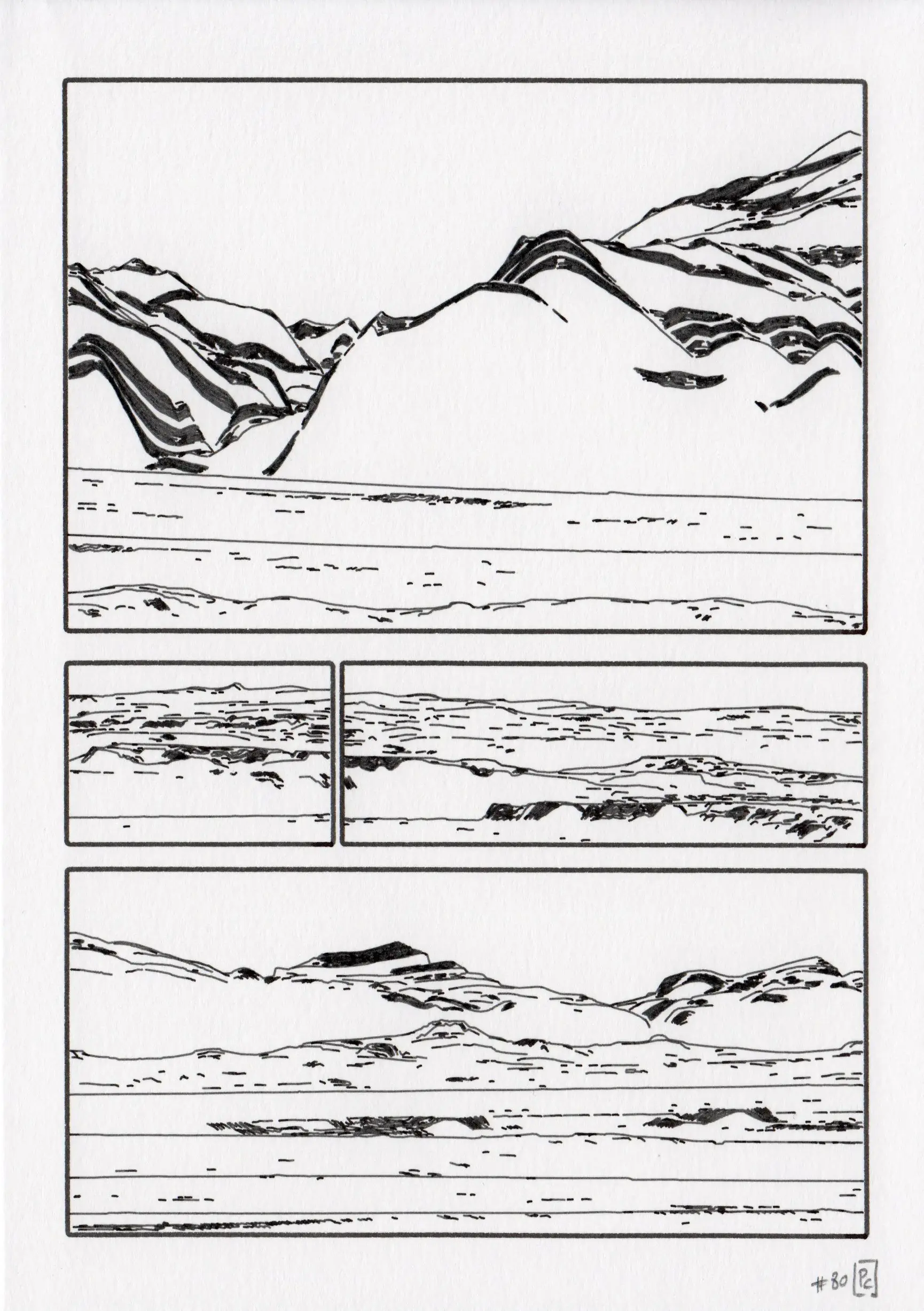
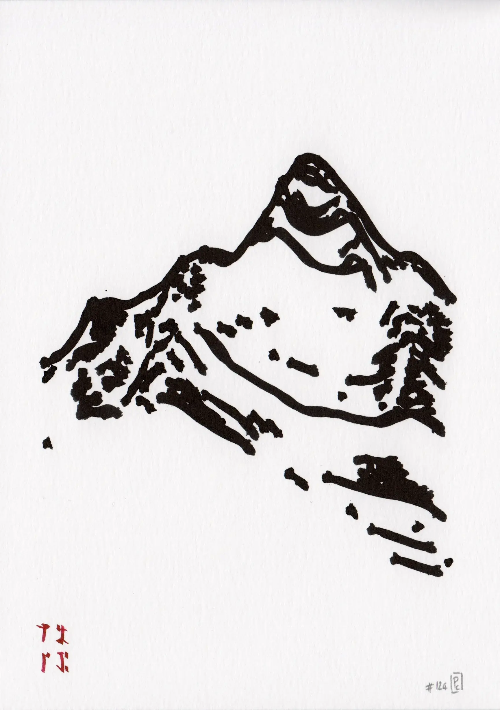
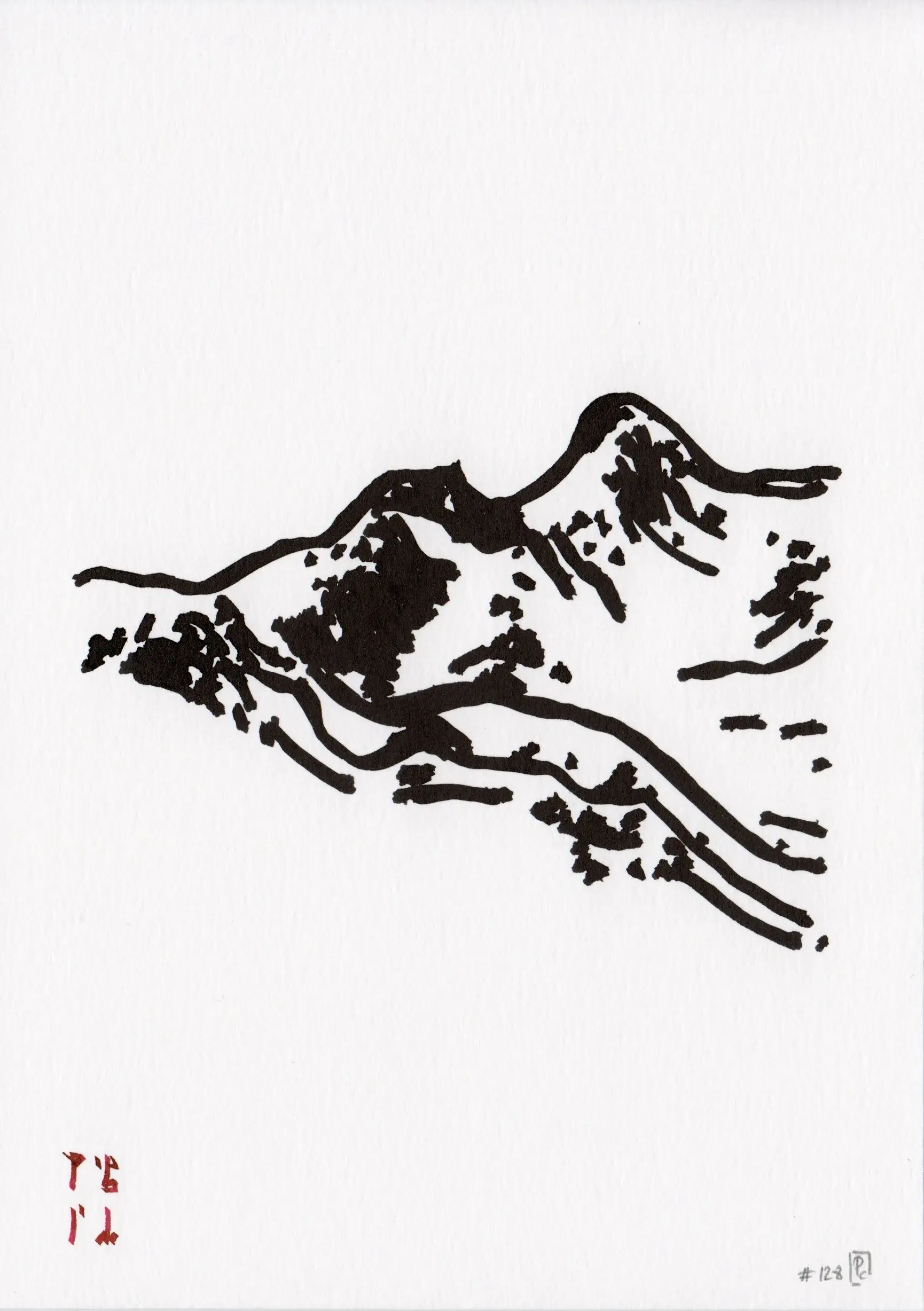
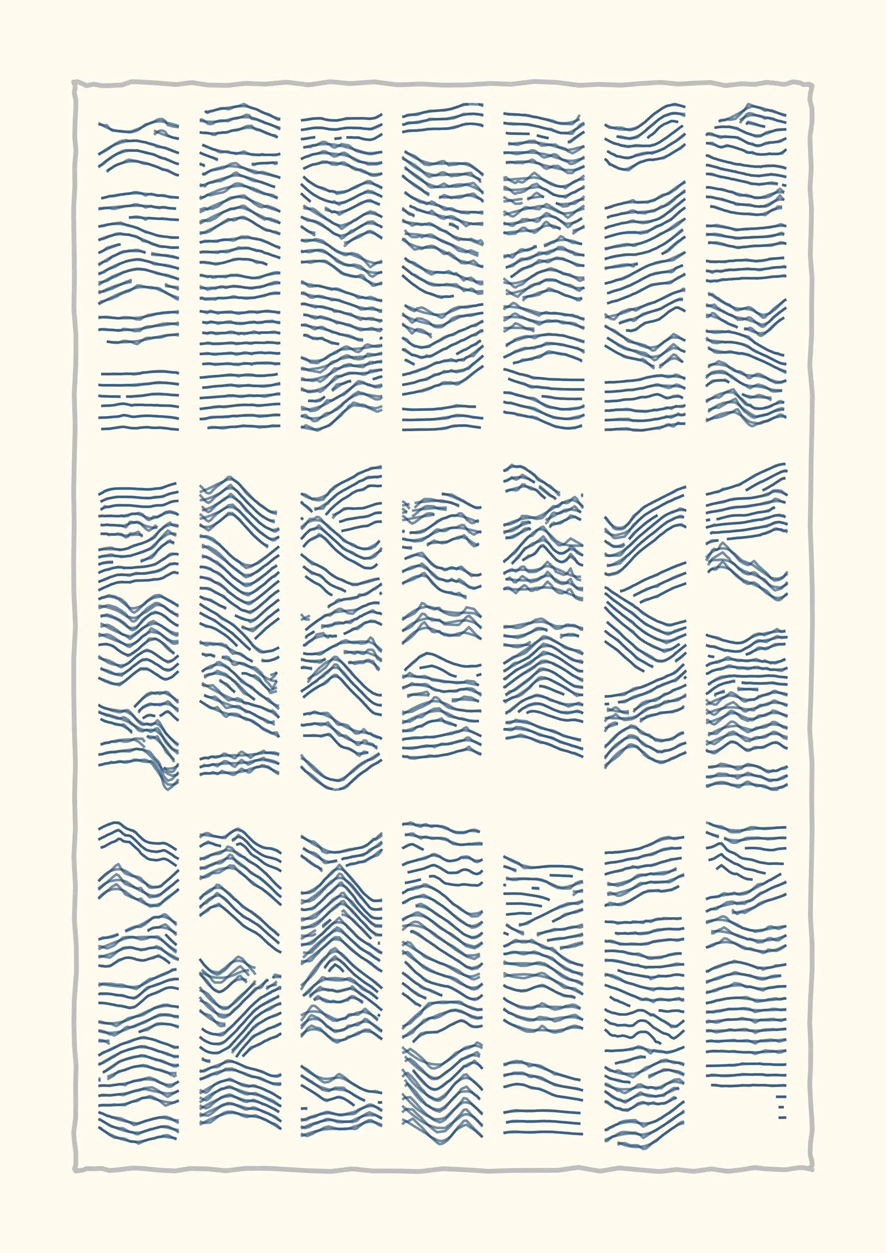
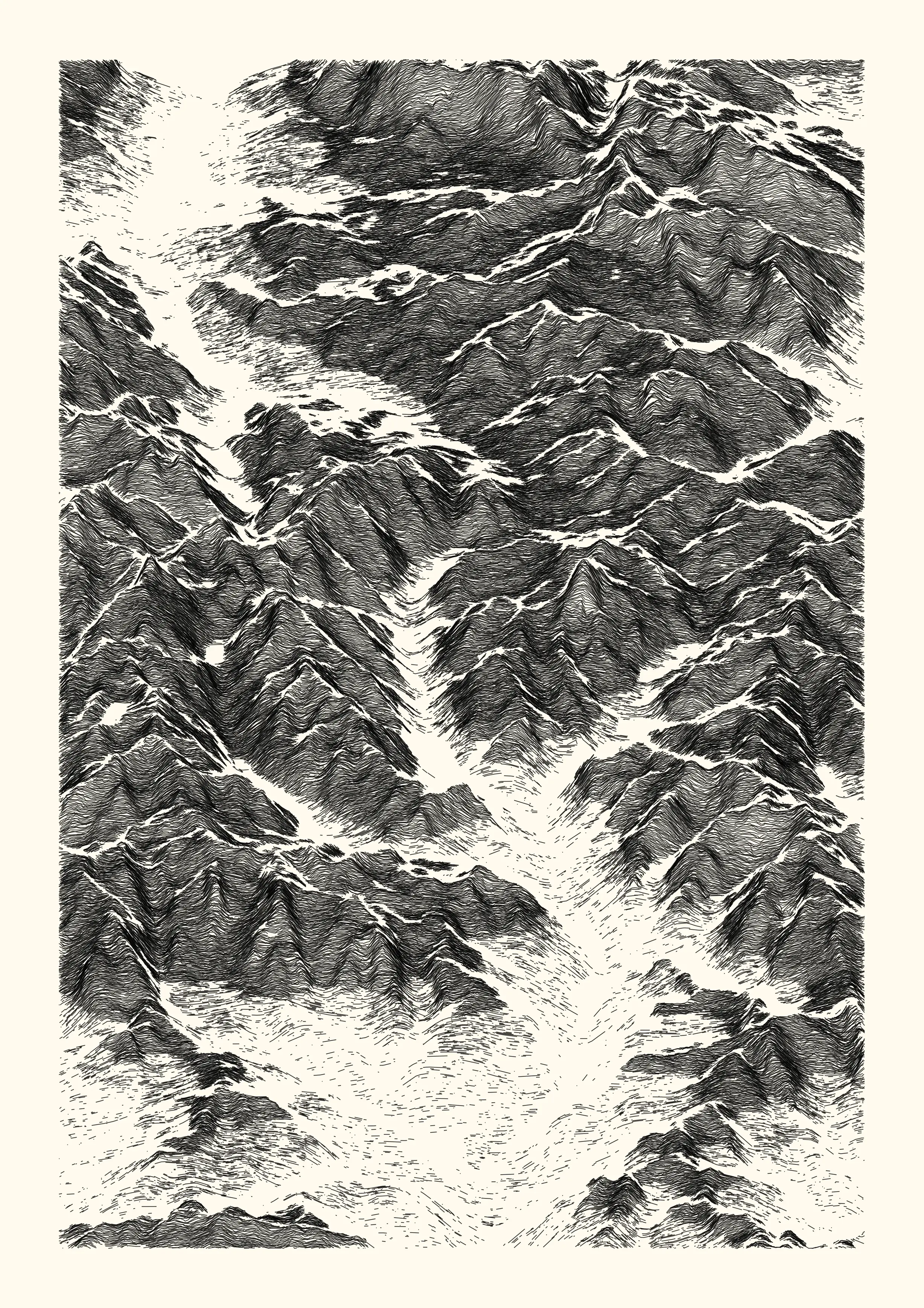
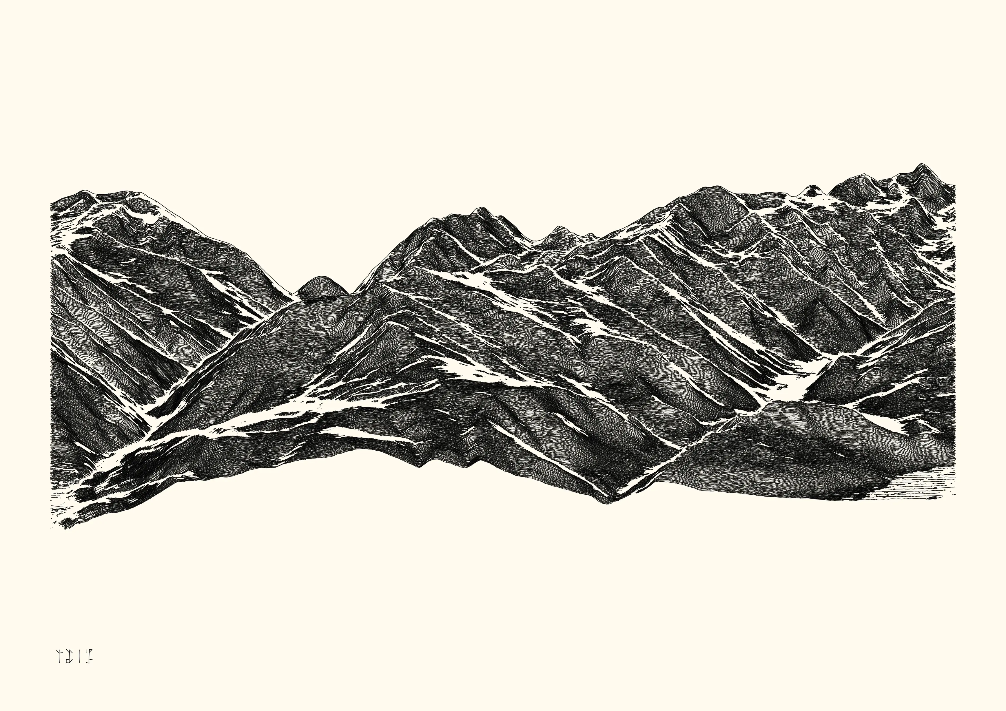
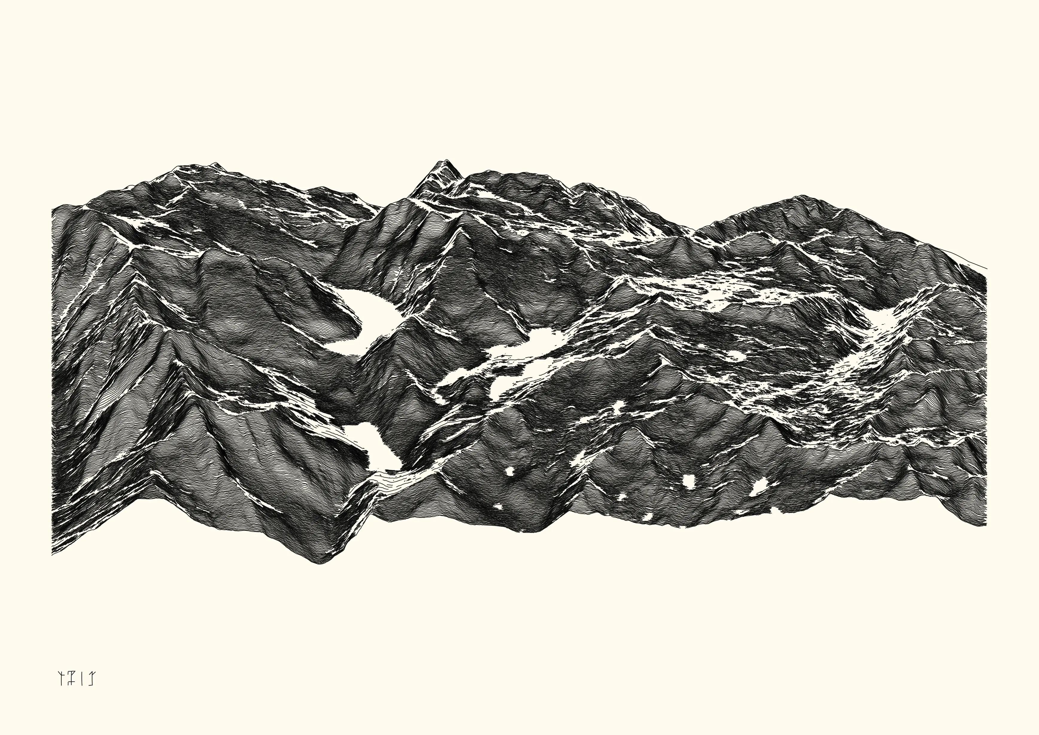
2022-01, Dispyr
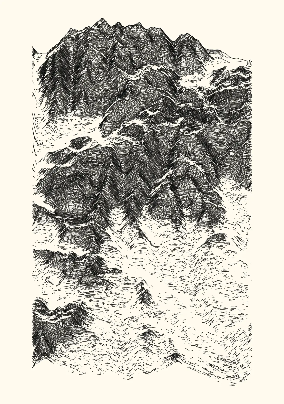
A series of 16 curated iterations representing random fragments of the Pyrénées mountain range, based on real-world data from a digital elevation model. The overall aesthetic is obtained by adding noise and discarding data as a function of various attributes (elevation, slope, elevation dispersion). About 90 % of the information present in the initial dataset is discarded, using four methods. This work is documented in a more in depth article.
- 16 digital and physical works
- digital, 2330 x 3307 lossless bitmap, computed and rendered with R. Published as NFTs on the objkt platform (link).
- ink on paper, plotted with Axidraw V3/A3 on 220 g/m2 paper (148x210 mm, A5) with Rotring Isograph 0.3mm pen.