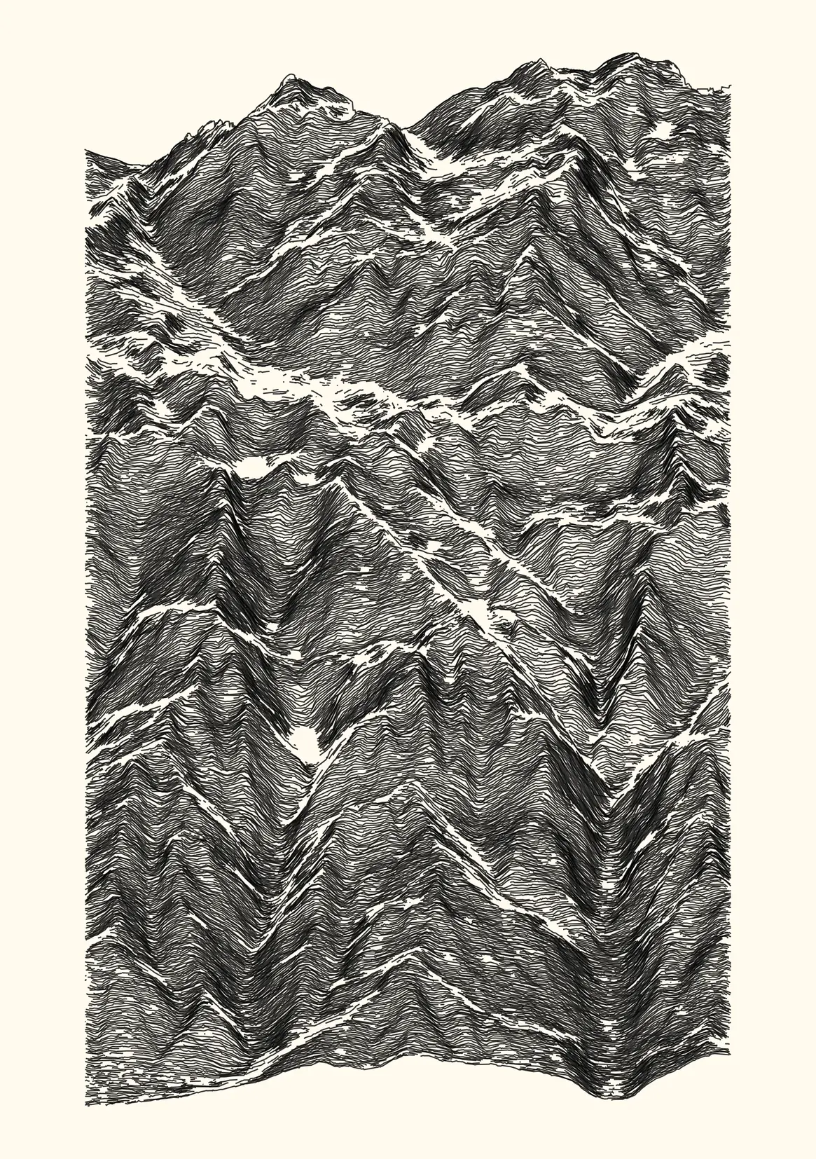
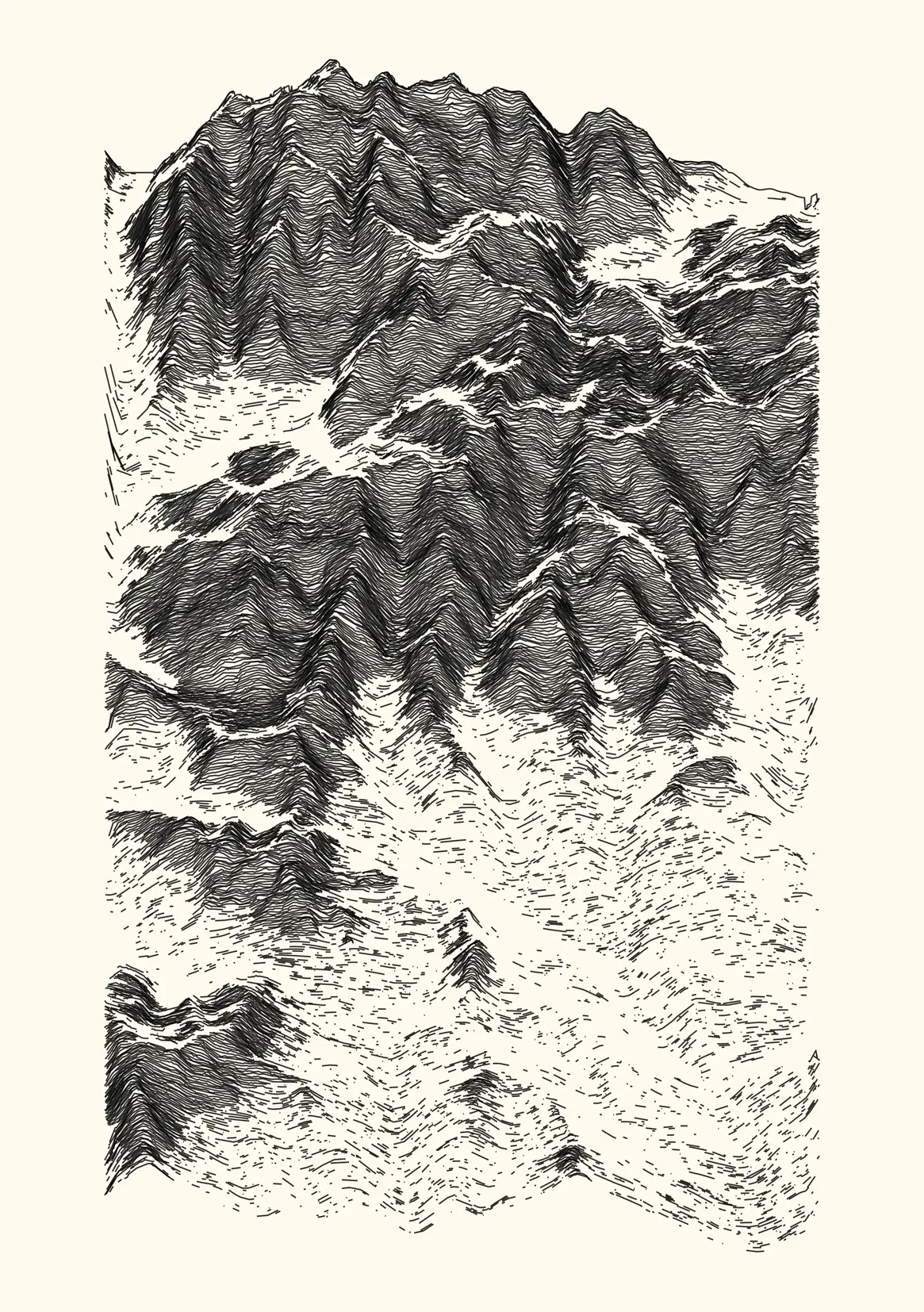
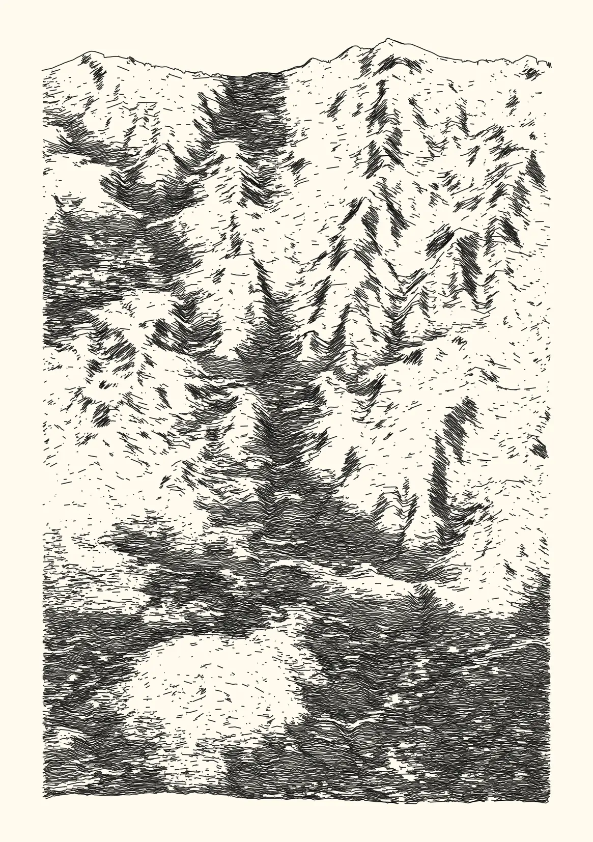
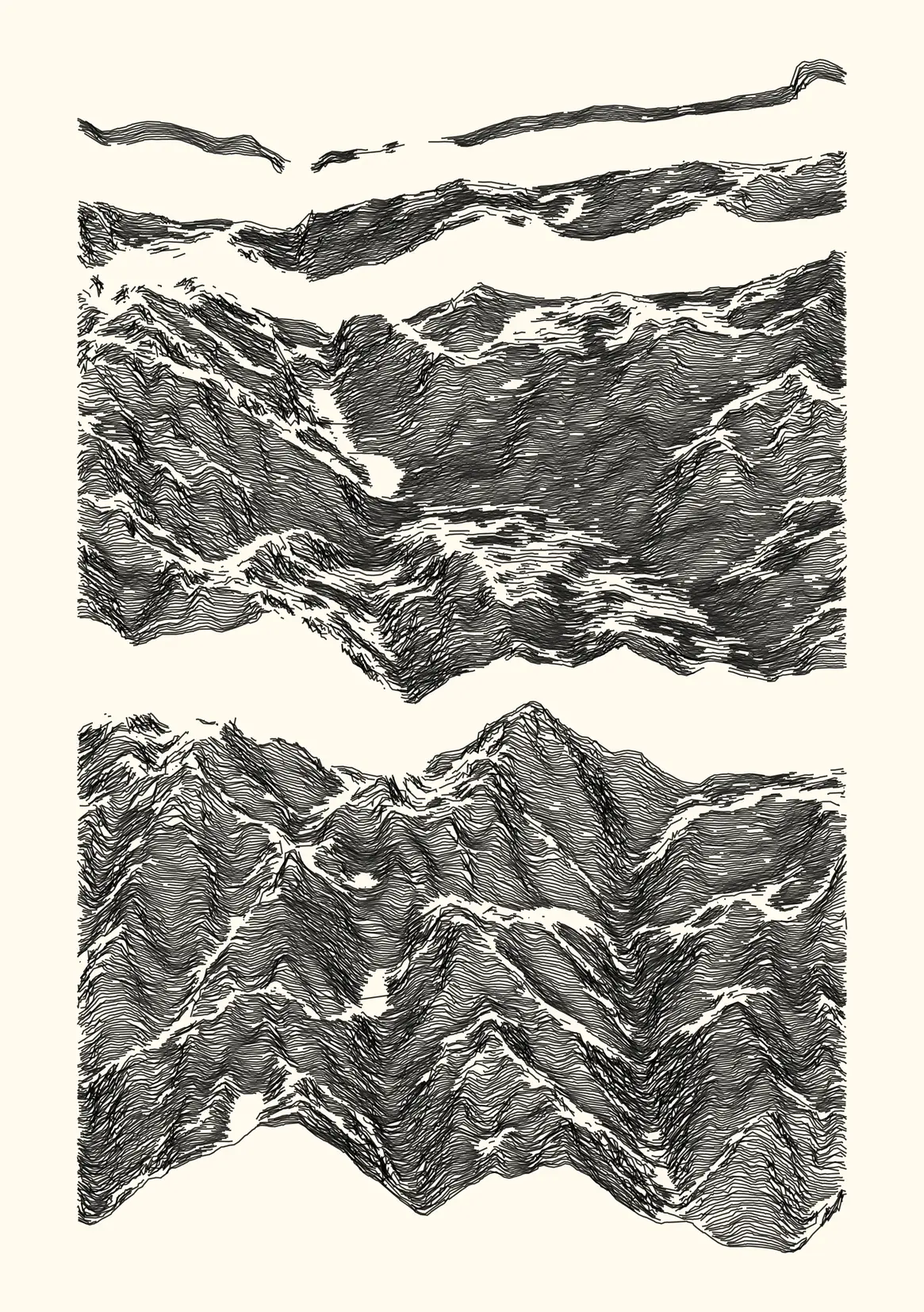
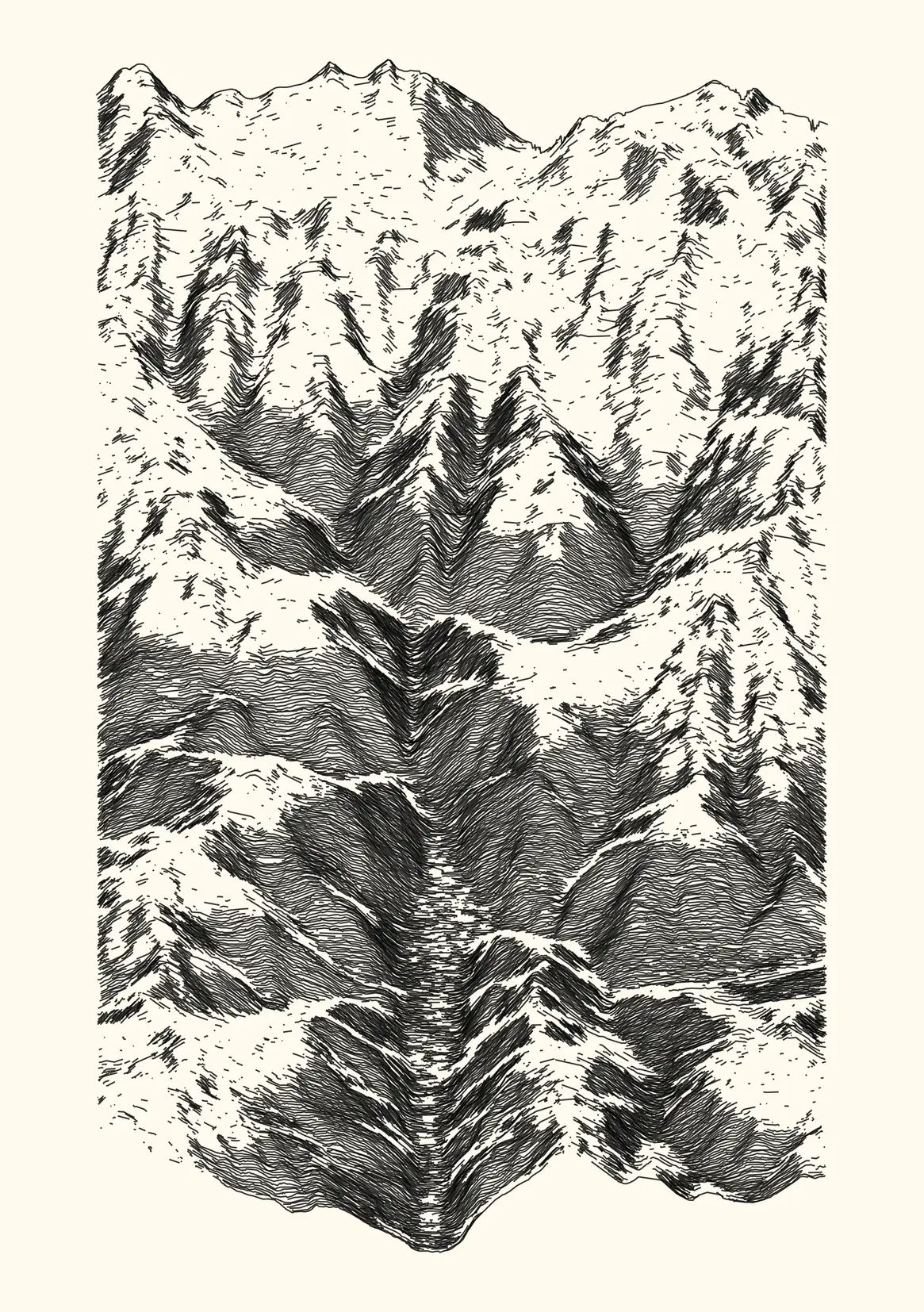
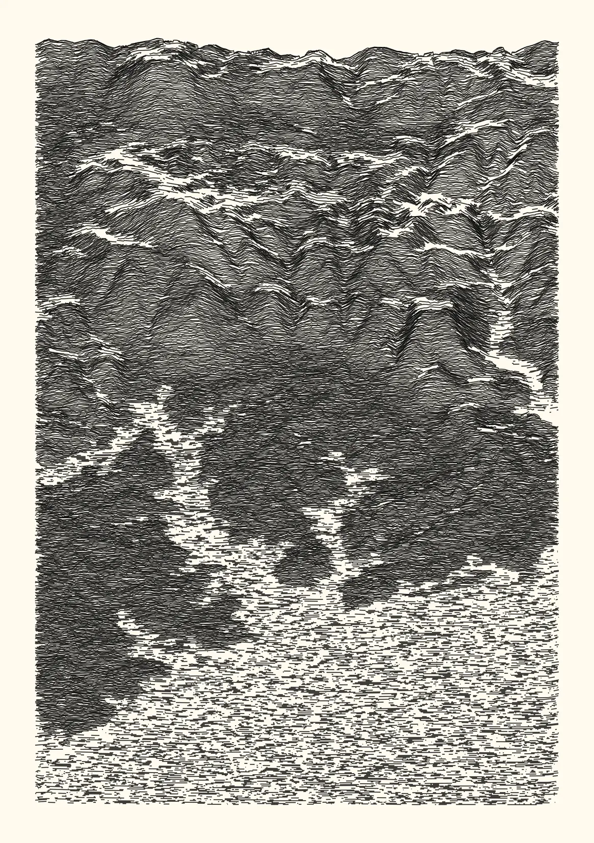
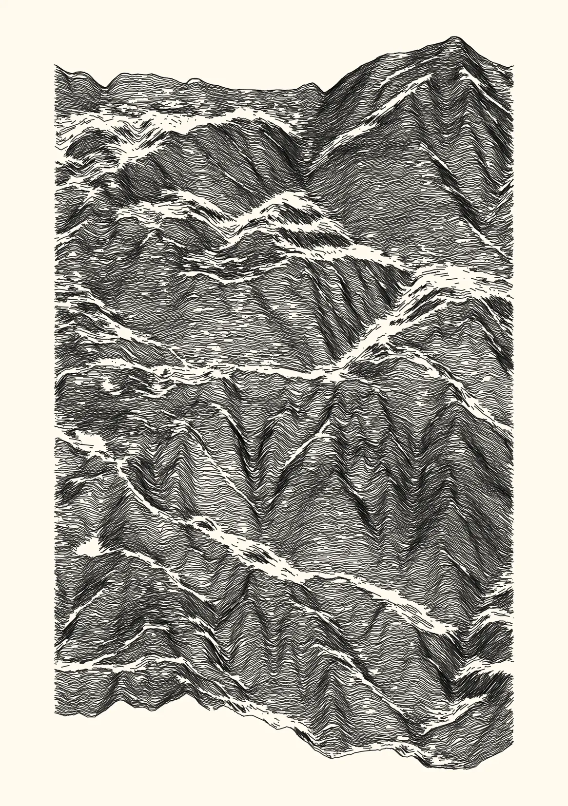
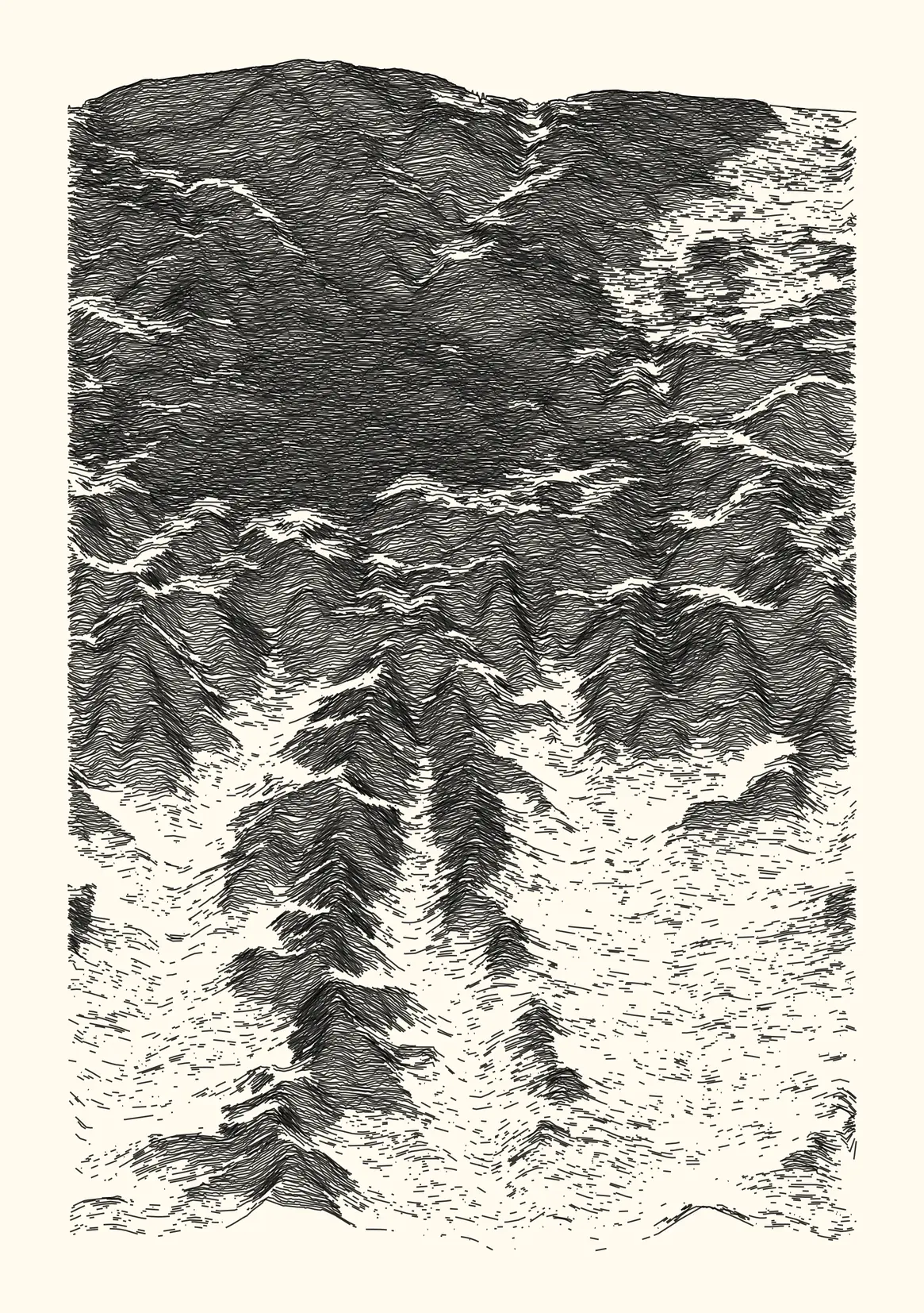
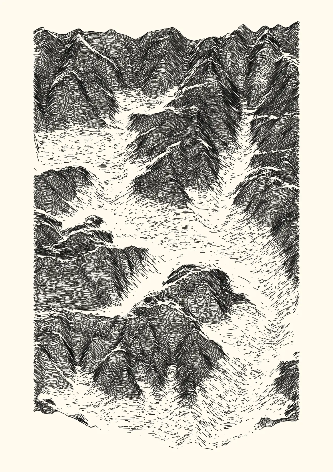
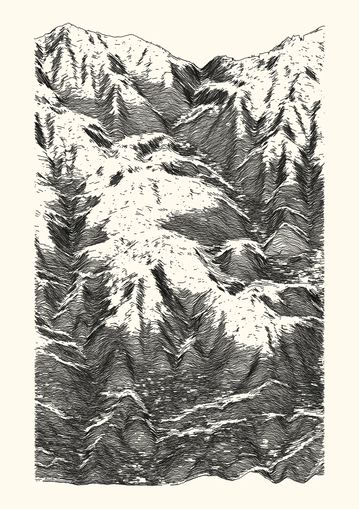
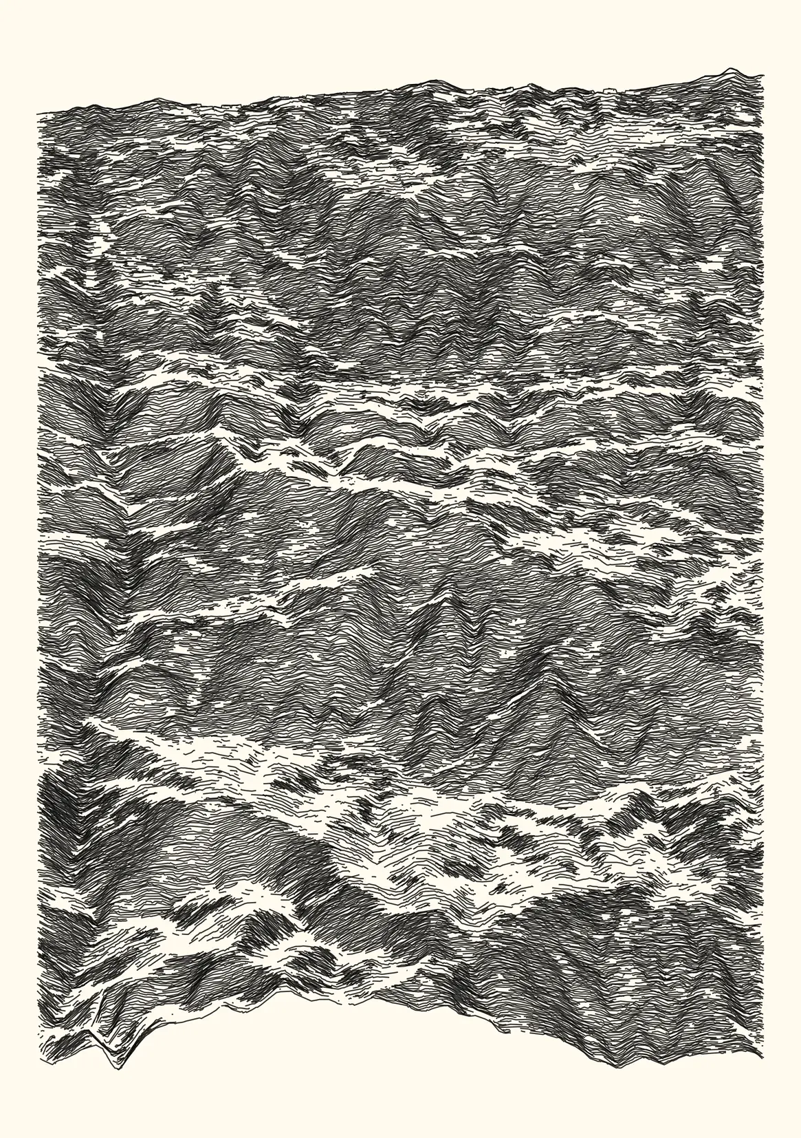
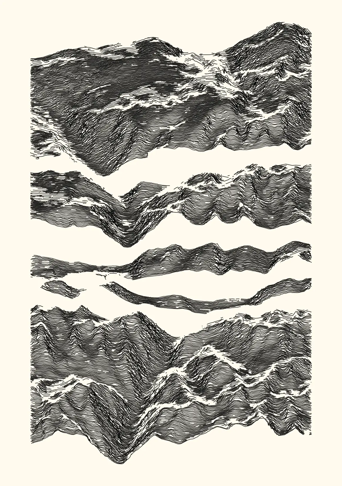
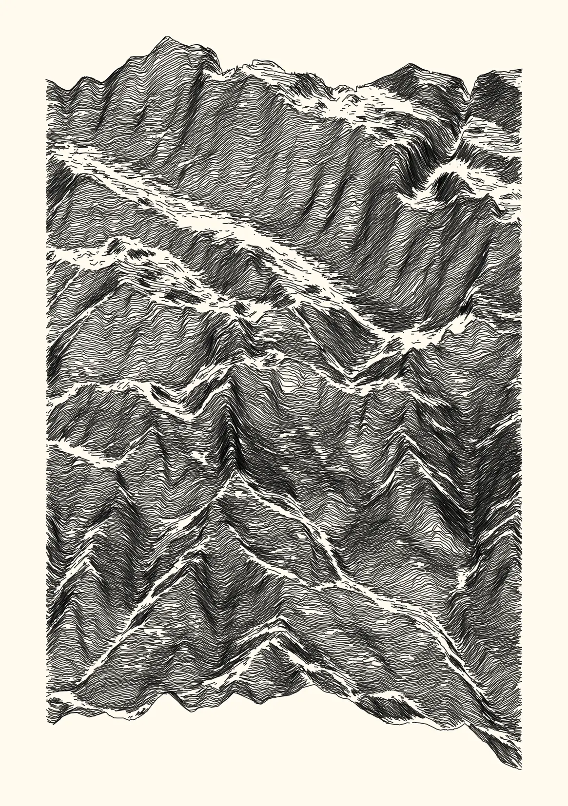
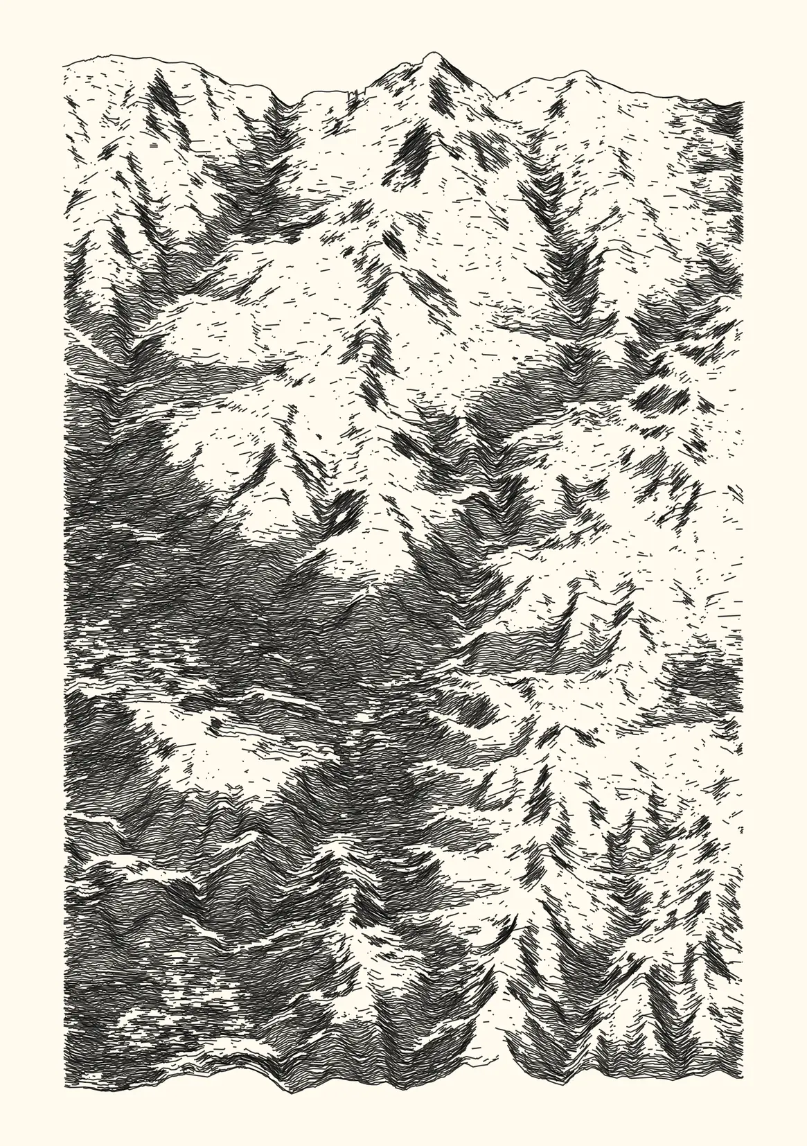
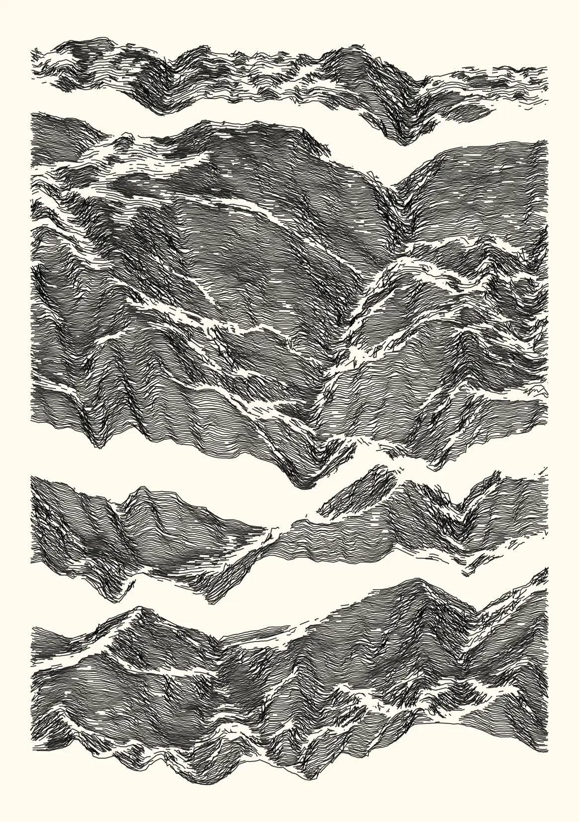
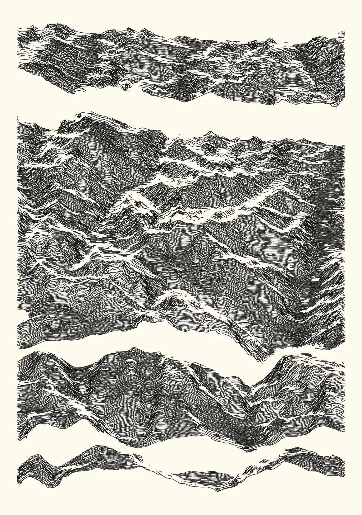
A series of 16 curated iterations representing random fragments of the Pyrénées mountain range, based on real-world data from a digital elevation model. The overall aesthetic is obtained by adding noise and discarding data as a function of various attributes (elevation, slope, elevation dispersion). About 90% of the information present in the initial dataset is discarded, using four methods. This work is documented in a more in-depth article.
- 16 digital and physical works
- digital, 2330 x 3307 lossless bitmap, computed and rendered with R. Published as NFTs on the objkt platform (link).
- ink on paper, plotted with Axidraw V3/A3 on 220 g/m2 paper (148x210 mm, A5) with Rotring Isograph 0.3mm pen.
⁂