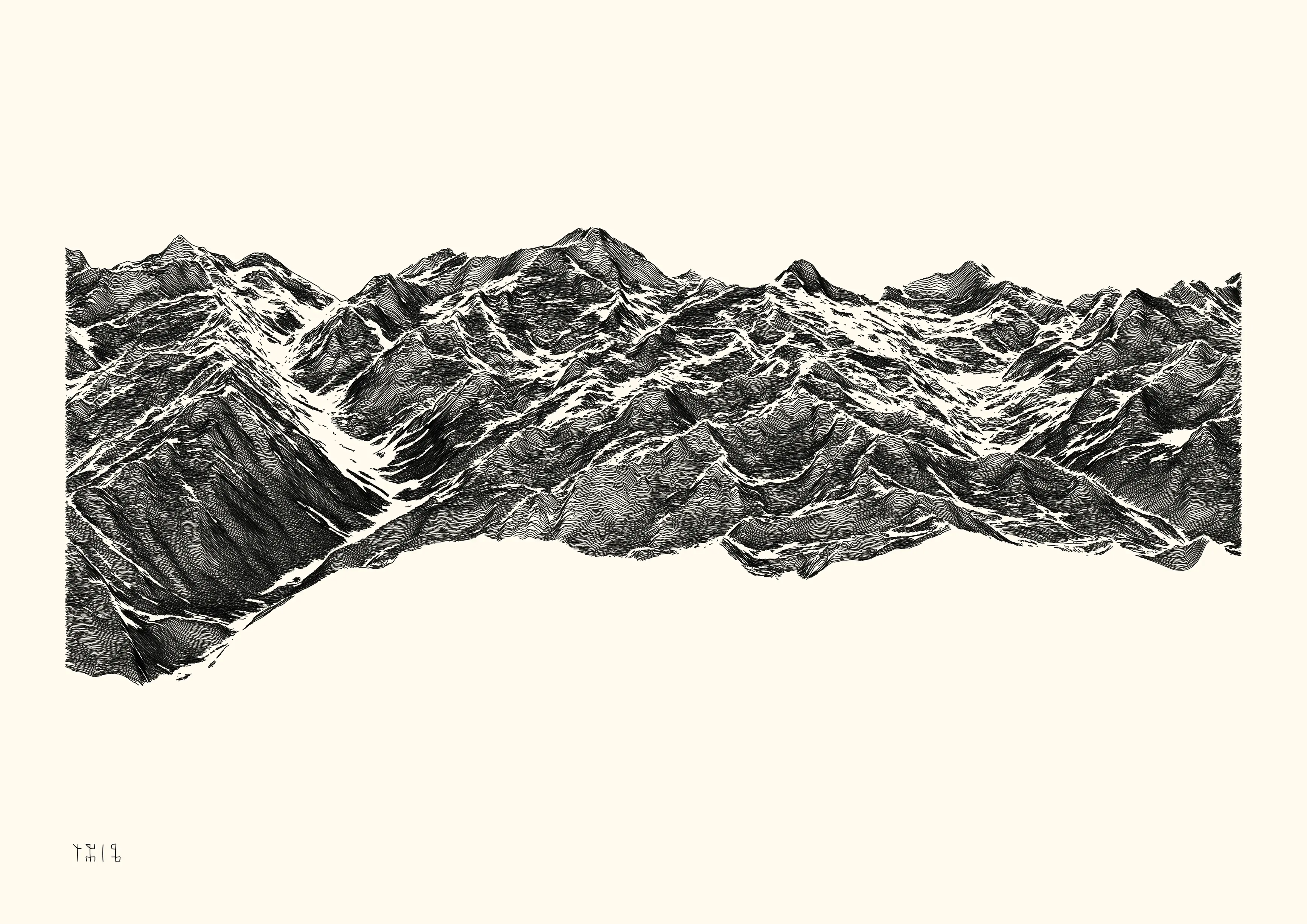
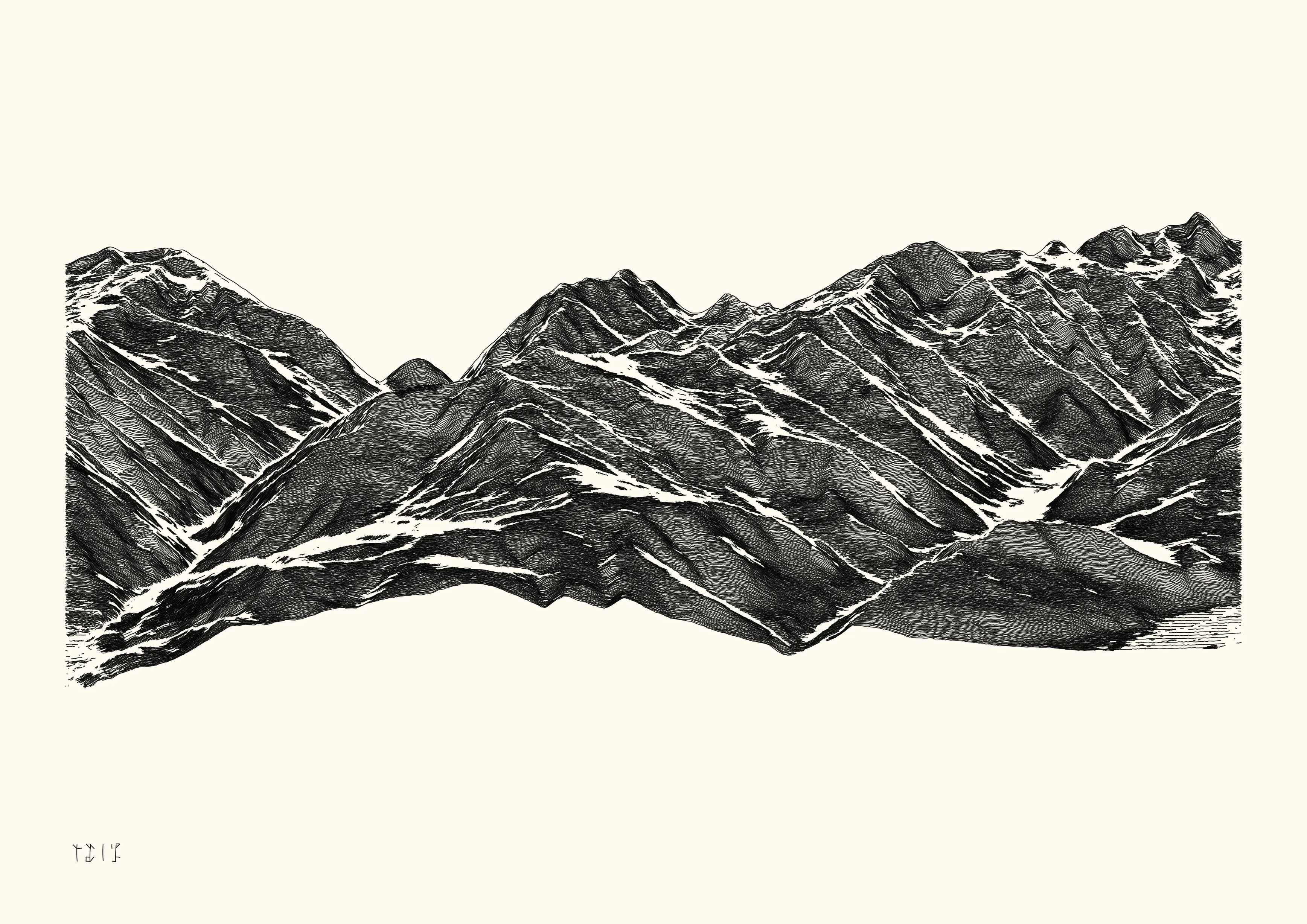
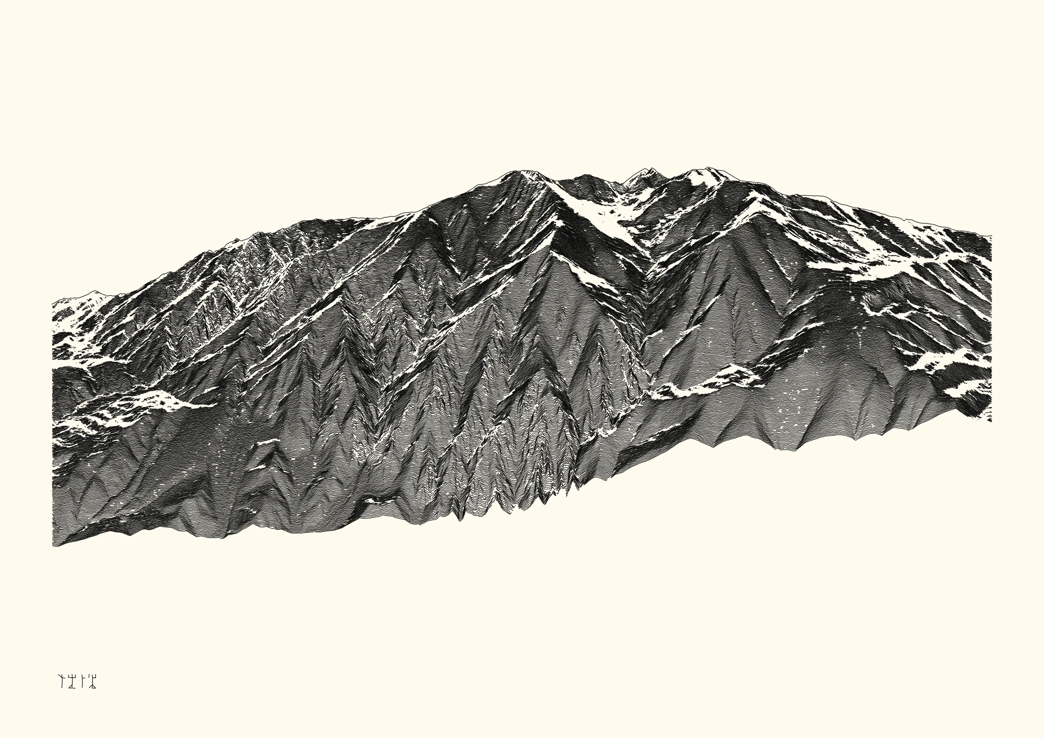
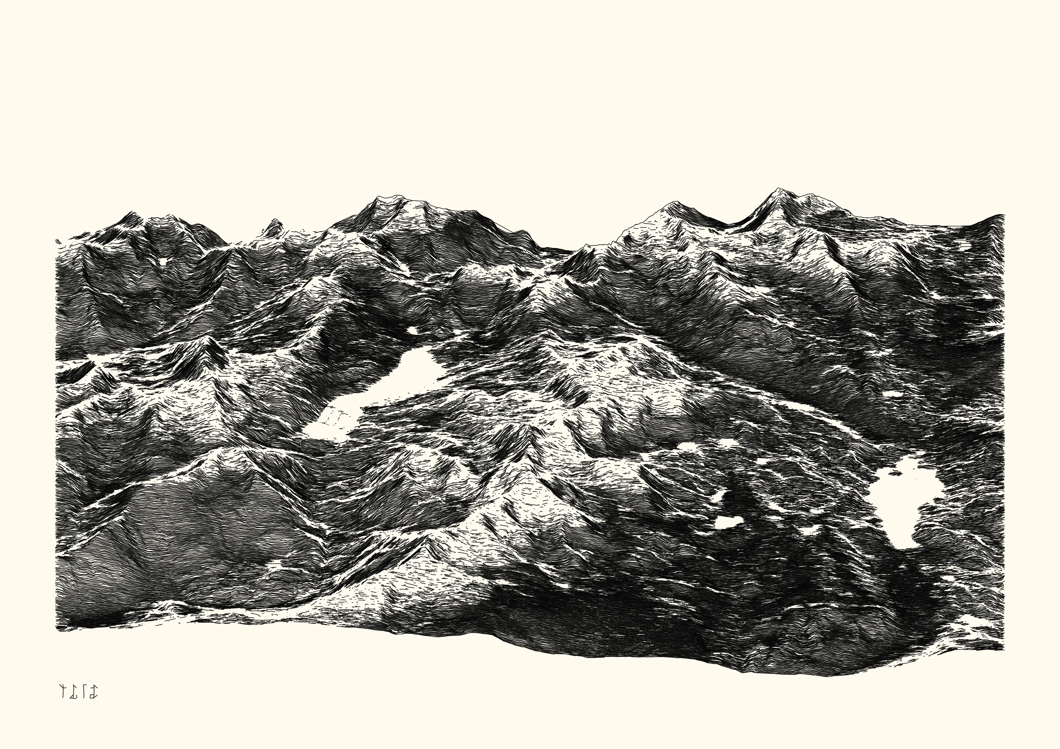
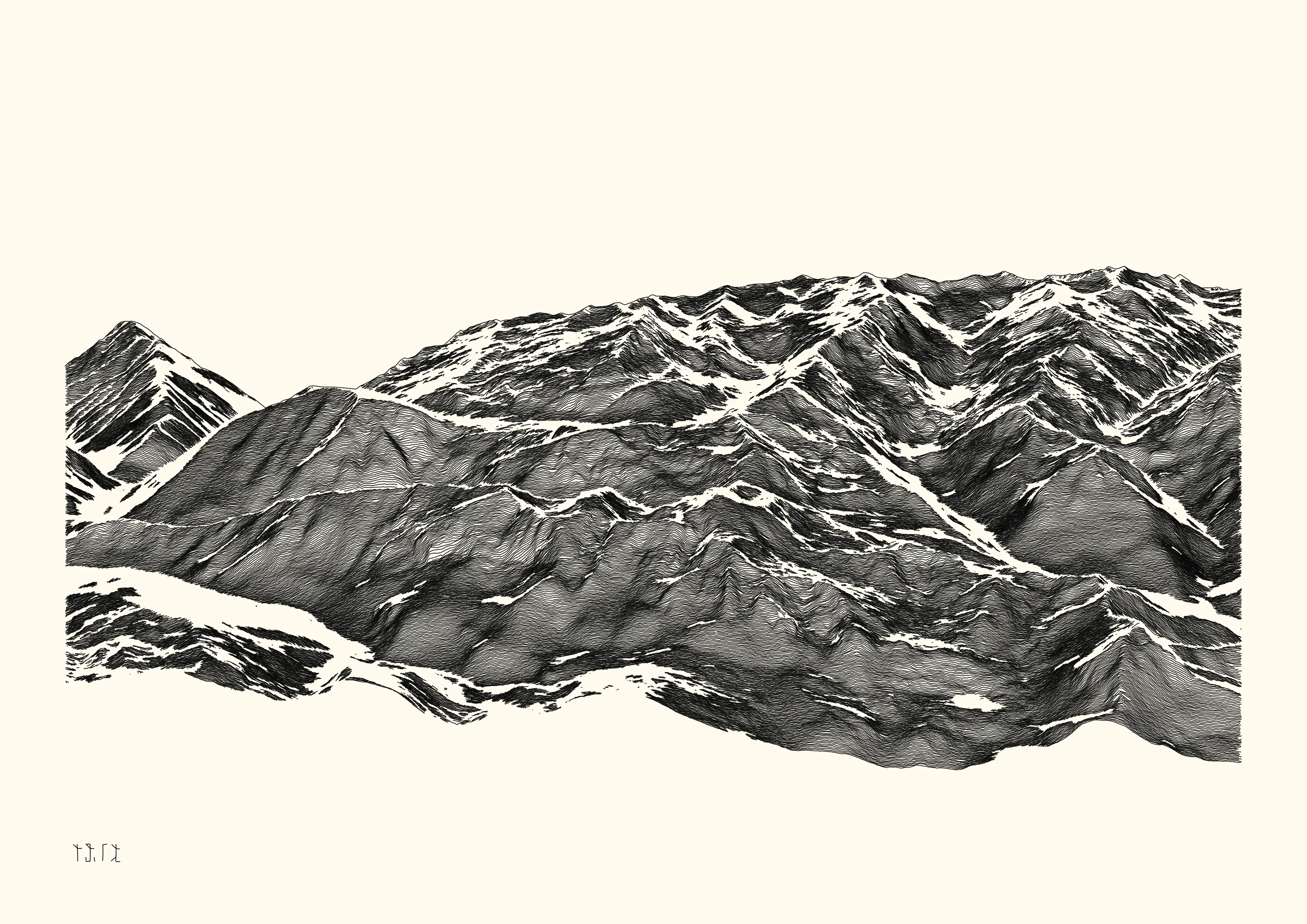
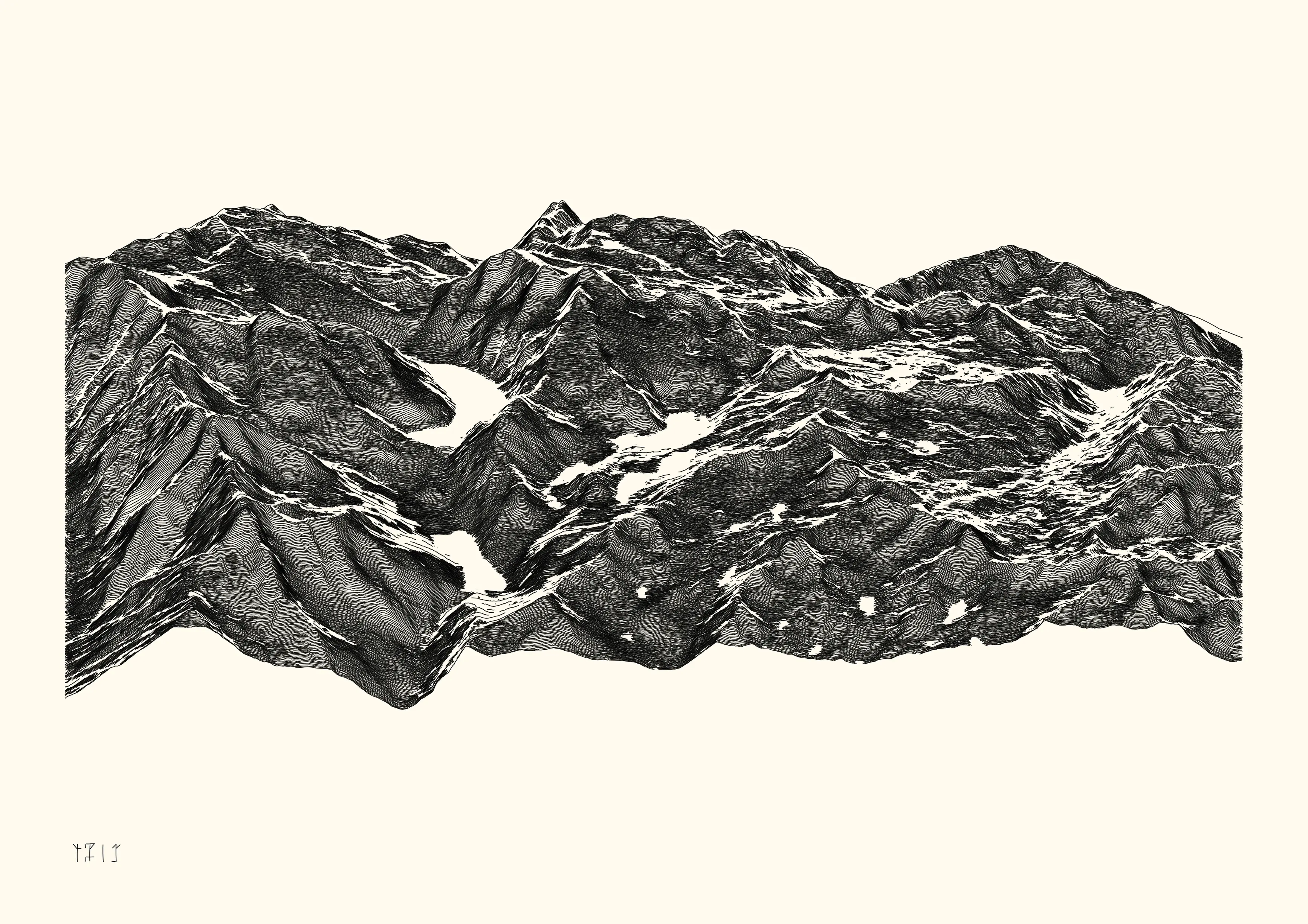
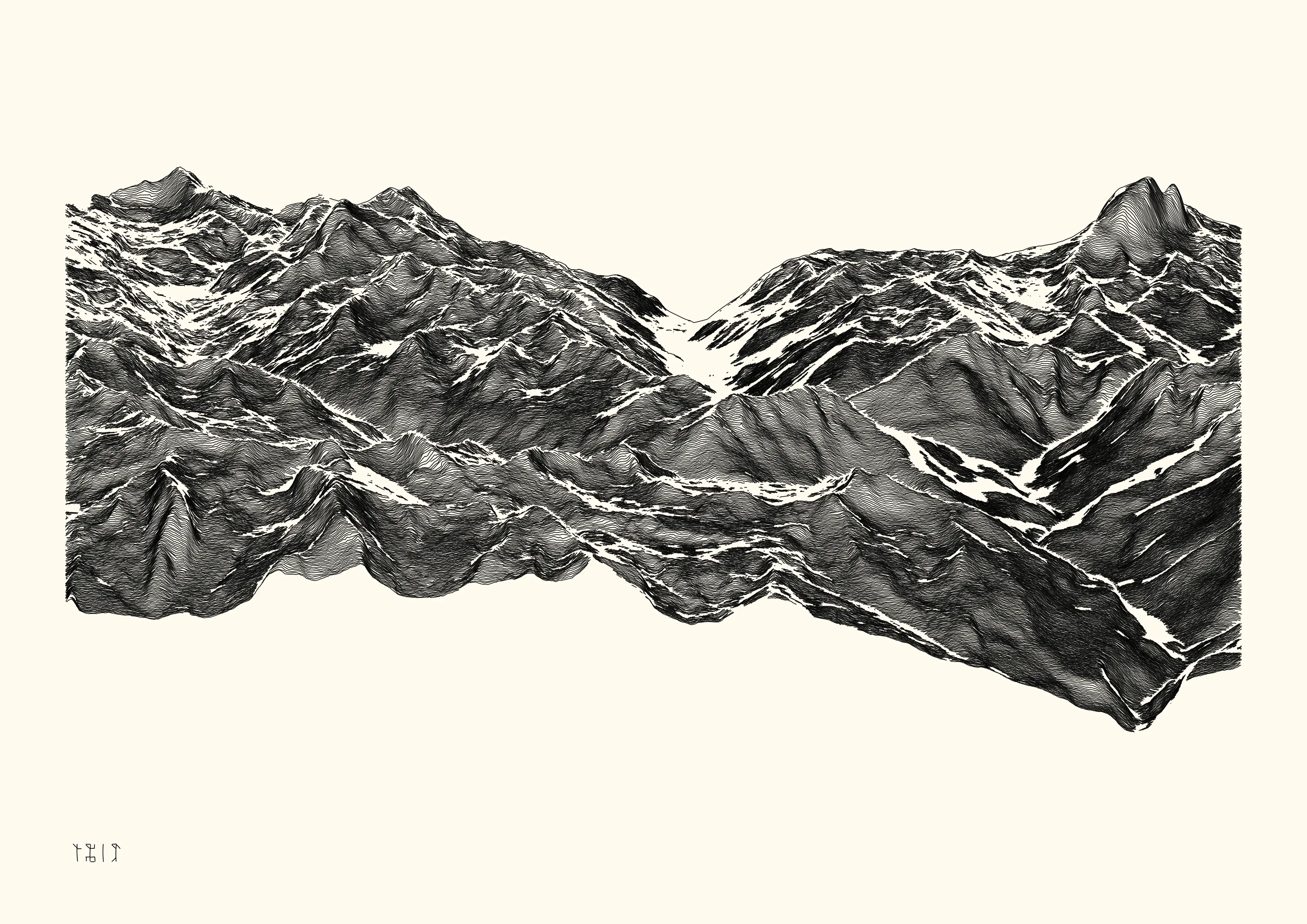
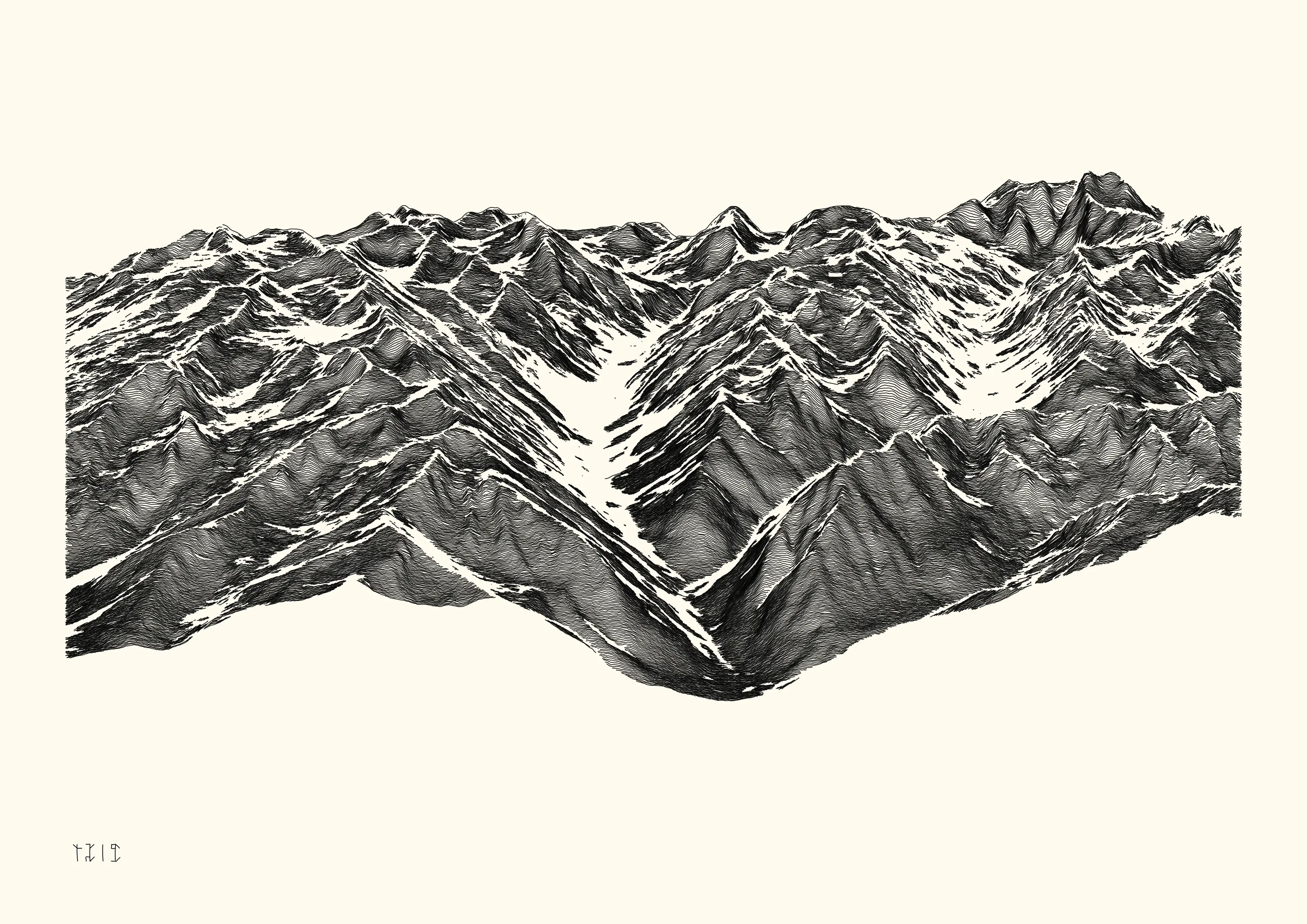
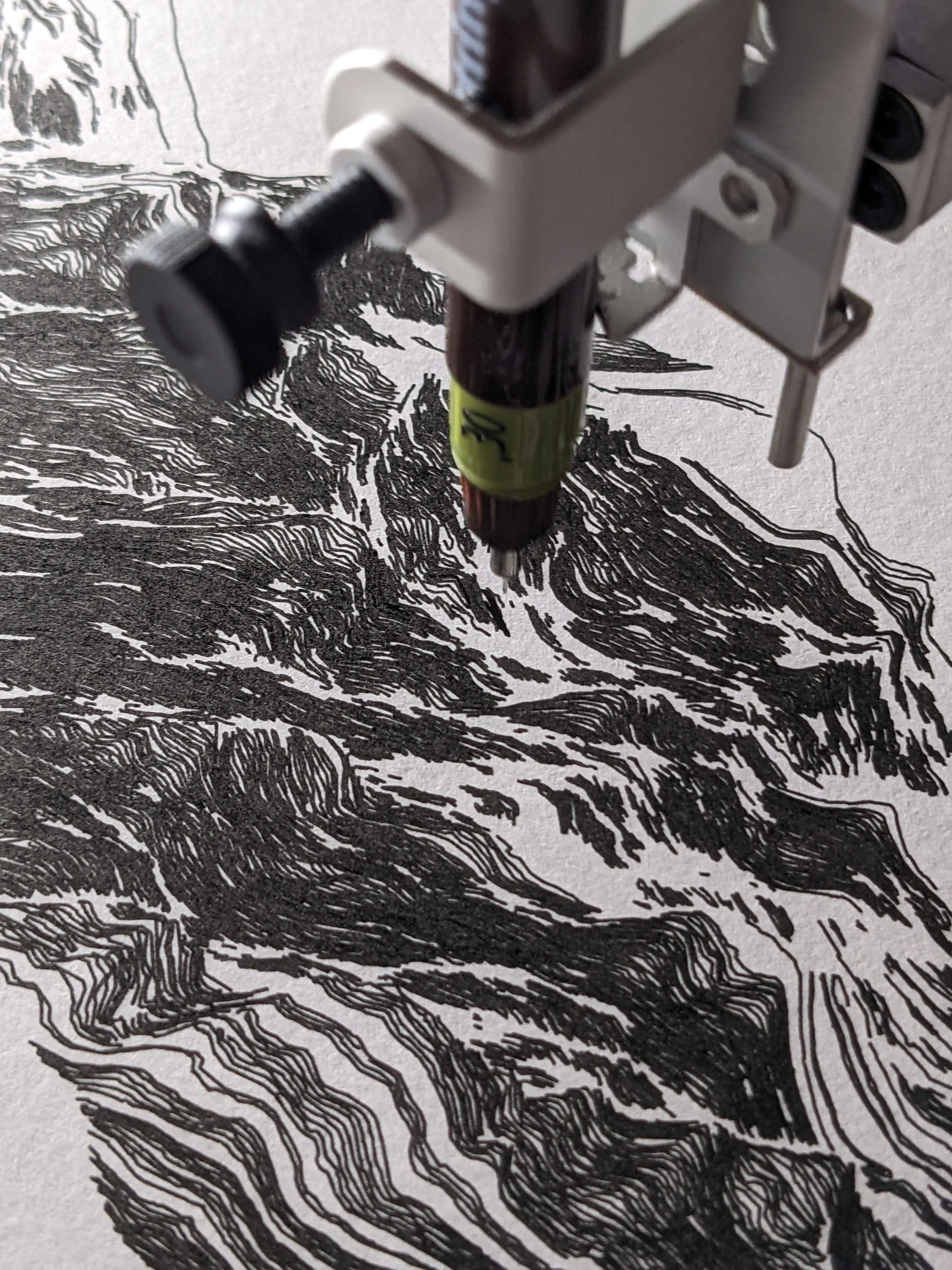
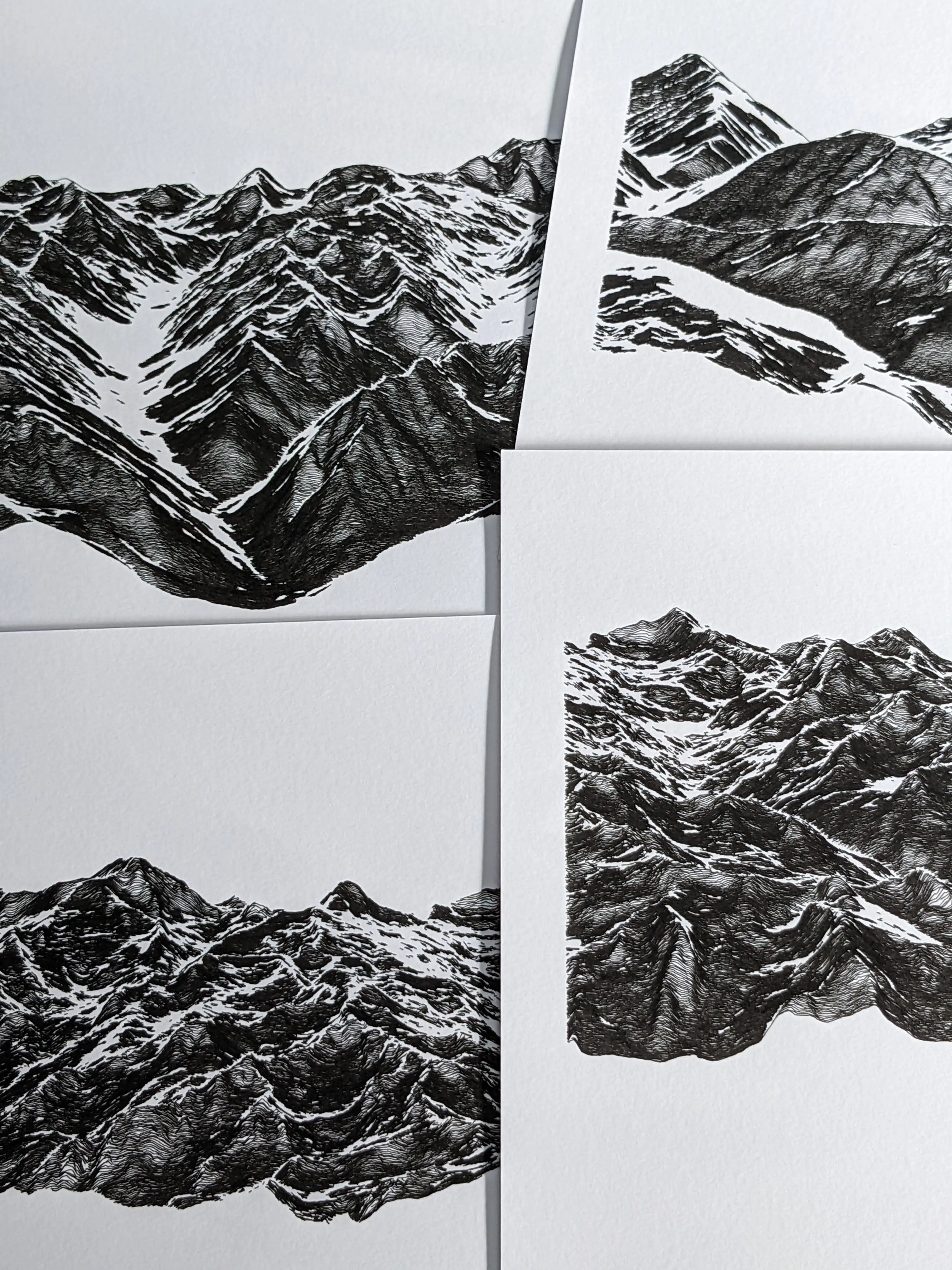
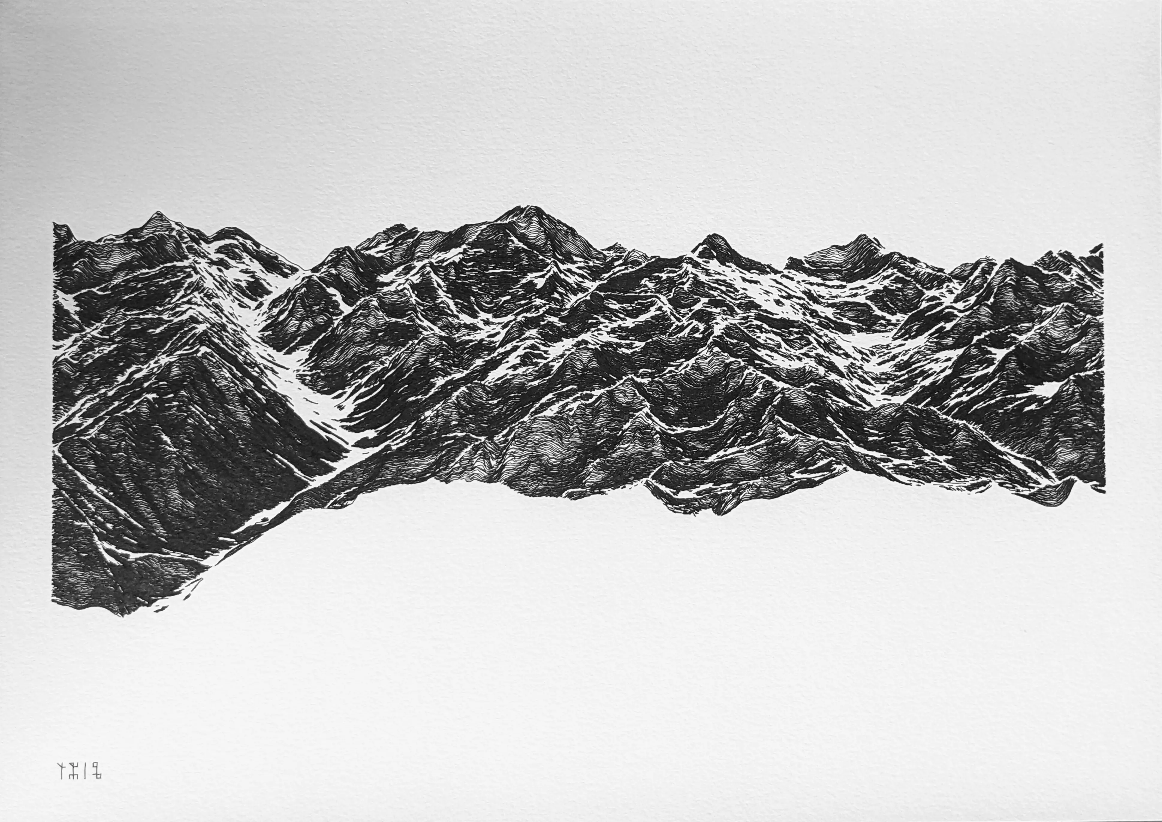
Selected fragments of the Pyrénées mountain range, based on real-world data from a digital elevation model (15x10 km region). The overall aesthetic is obtained by adding noise and discarding data as a function of a distance matrix.
- 8 digital and physical works
- digital, 4960 x 3507 lossless bitmap, computed and rendered with R. Published as NFTs on the objkt platform (link).
- ink on paper, plotted with Axidraw V3/A3 on 300 g/m2 paper (298x420 mm, A3) with Rotring Isograph 0.3mm pen.
⁂